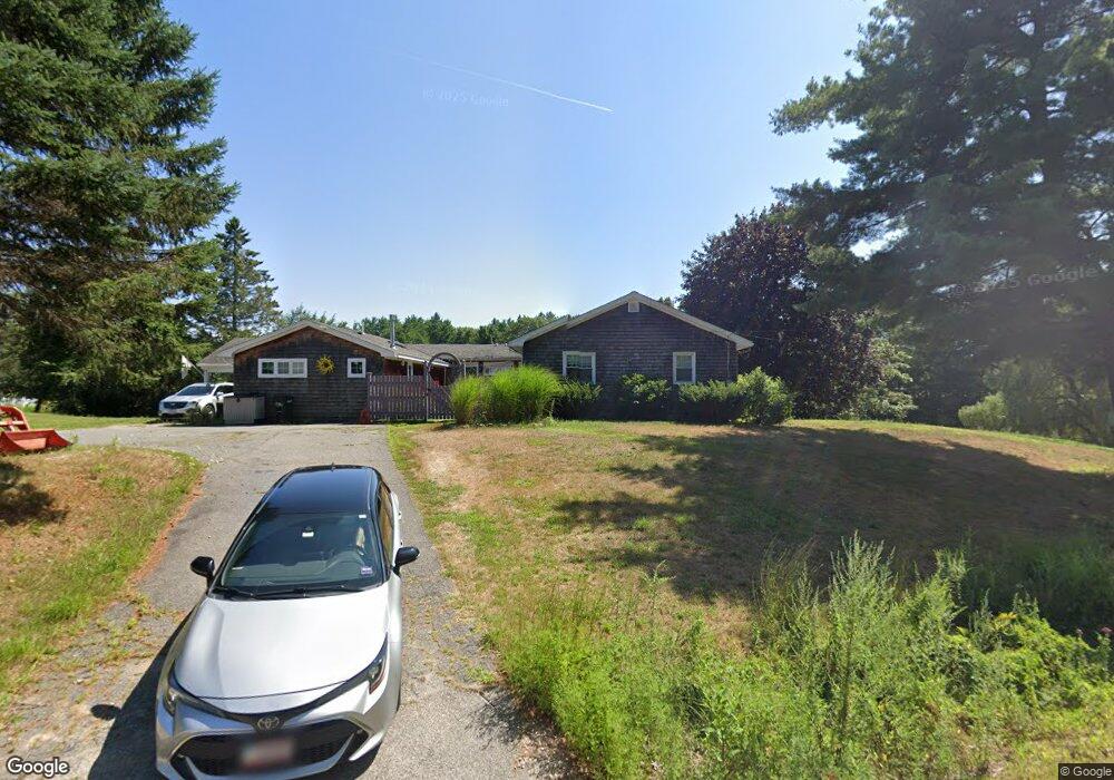
10 Sturgeon Creek Dr Eliot, ME 03903
East Eliot NeighborhoodEstimated Value: $462,000 - $486,000
2
Beds
1
Bath
1,242
Sq Ft
$383/Sq Ft
Est. Value
About This Home
This home is located at 10 Sturgeon Creek Dr, Eliot, ME 03903 and is currently estimated at $475,390, approximately $382 per square foot. 10 Sturgeon Creek Dr is a home located in York County with nearby schools including Marshwood High School and Seacoast Waldorf School.
Ownership History
Date
Name
Owned For
Owner Type
Purchase Details
Closed on
Sep 12, 2008
Sold by
Leavitt Howard B
Bought by
Schlicht Peter M and Schlicht Cynthia S
Current Estimated Value
Home Financials for this Owner
Home Financials are based on the most recent Mortgage that was taken out on this home.
Original Mortgage
$100,000
Outstanding Balance
$63,615
Interest Rate
5.63%
Mortgage Type
Unknown
Estimated Equity
$411,775
Create a Home Valuation Report for This Property
The Home Valuation Report is an in-depth analysis detailing your home's value as well as a comparison with similar homes in the area
Home Values in the Area
Average Home Value in this Area
Purchase History
| Date | Buyer | Sale Price | Title Company |
|---|---|---|---|
| Schlicht Peter M | -- | -- |
Source: Public Records
Mortgage History
| Date | Status | Borrower | Loan Amount |
|---|---|---|---|
| Open | Schlicht Peter M | $100,000 | |
| Previous Owner | Schlicht Peter M | $60,000 | |
| Previous Owner | Schlicht Peter M | $40,000 | |
| Previous Owner | Schlicht Peter M | $5,000 |
Source: Public Records
Tax History Compared to Growth
Tax History
| Year | Tax Paid | Tax Assessment Tax Assessment Total Assessment is a certain percentage of the fair market value that is determined by local assessors to be the total taxable value of land and additions on the property. | Land | Improvement |
|---|---|---|---|---|
| 2024 | $4,106 | $346,500 | $150,900 | $195,600 |
| 2023 | $3,982 | $325,100 | $143,500 | $181,600 |
| 2022 | $3,759 | $310,700 | $143,500 | $167,200 |
| 2021 | $4,142 | $306,800 | $143,500 | $163,300 |
| 2020 | $4,016 | $273,200 | $137,400 | $135,800 |
| 2019 | $4,016 | $273,200 | $137,400 | $135,800 |
| 2018 | $4,016 | $273,200 | $137,400 | $135,800 |
| 2017 | $3,907 | $273,200 | $137,400 | $135,800 |
| 2016 | $3,838 | $273,200 | $137,400 | $135,800 |
| 2015 | $3,825 | $273,200 | $137,400 | $135,800 |
| 2014 | $3,770 | $273,200 | $137,400 | $135,800 |
| 2013 | $3,598 | $273,200 | $137,400 | $135,800 |
Source: Public Records
Map
Nearby Homes
- Lot 2 Cedar Tbd
- Lot 1 Cedar Tbd
- TBD Cedar Rd
- 708 River Rd Unit 3
- 708 River Rd Unit 2
- 34 Imperial Dr
- 1708 State Rd
- 16 Imperial Dr
- 25 Heritage Dr
- 82 Stacy Ln
- 19 Heritage Dr
- 35 Marshwood Dr
- 18 Governor Hill Rd
- 10 Broadfields Rd
- 25 Fosters Dr
- 25 Shore Ln
- 4 Shore Ln
- 126 Dover Point Rd
- Slip B18 Little Bay
- 0 Goodwin Rd Unit 1626810
- 1878 State Rd
- 1890 State Rd
- 22 Sturgeon Creek Dr
- 1883 State Rd
- 1896 State Rd
- 19 State Rd
- 0 State Rd
- 00 State Rd
- 0 State Rd Unit 1582070
- 0 State Rd Unit 479719
- 0 State Rd Unit 229739
- 0 State Rd Unit 228797
- 0 State Rd Unit 1 1210769
- 1852 State Rd
- 17 Creek Crossing
- 23 Tidy Rd
- 0 Tidy Rd
- 1844 State Rd
- LOT 4 Tidy
- 1905 State Rd