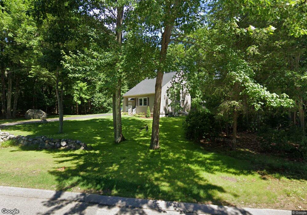
10 Summer Hill Rd Medway, MA 02053
Estimated Value: $624,888 - $802,000
3
Beds
2
Baths
1,586
Sq Ft
$447/Sq Ft
Est. Value
About This Home
This home is located at 10 Summer Hill Rd, Medway, MA 02053 and is currently estimated at $709,472, approximately $447 per square foot. 10 Summer Hill Rd is a home located in Norfolk County with nearby schools including John D. McGovern Elementary School, Burke-Memorial Elementary, and Medway Middle School.
Ownership History
Date
Name
Owned For
Owner Type
Purchase Details
Closed on
Jan 8, 2025
Sold by
Waddell James M and Pirozzi Patricia C
Bought by
Summer Hill Road Llc
Current Estimated Value
Purchase Details
Closed on
Jul 1, 1988
Sold by
Walton Charles S
Bought by
Waddell James M
Create a Home Valuation Report for This Property
The Home Valuation Report is an in-depth analysis detailing your home's value as well as a comparison with similar homes in the area
Home Values in the Area
Average Home Value in this Area
Purchase History
| Date | Buyer | Sale Price | Title Company |
|---|---|---|---|
| Summer Hill Road Llc | -- | None Available | |
| Summer Hill Road Llc | -- | None Available | |
| Waddell James M | $179,900 | -- |
Source: Public Records
Mortgage History
| Date | Status | Borrower | Loan Amount |
|---|---|---|---|
| Previous Owner | Waddell James M | $138,000 | |
| Previous Owner | Waddell James M | $138,000 | |
| Previous Owner | Waddell James M | $140,800 | |
| Previous Owner | Waddell James M | $151,000 |
Source: Public Records
Tax History Compared to Growth
Tax History
| Year | Tax Paid | Tax Assessment Tax Assessment Total Assessment is a certain percentage of the fair market value that is determined by local assessors to be the total taxable value of land and additions on the property. | Land | Improvement |
|---|---|---|---|---|
| 2025 | $7,515 | $527,400 | $305,100 | $222,300 |
| 2024 | $7,595 | $527,400 | $305,100 | $222,300 |
| 2023 | $7,250 | $454,800 | $252,800 | $202,000 |
| 2022 | $7,221 | $426,500 | $224,500 | $202,000 |
| 2021 | $6,967 | $399,000 | $207,100 | $191,900 |
| 2020 | $6,659 | $380,500 | $191,900 | $188,600 |
| 2019 | $6,457 | $380,500 | $191,900 | $188,600 |
| 2018 | $6,536 | $370,100 | $183,200 | $186,900 |
| 2017 | $6,424 | $358,500 | $176,600 | $181,900 |
| 2016 | $6,395 | $353,100 | $170,100 | $183,000 |
| 2015 | $5,808 | $318,400 | $157,000 | $161,400 |
| 2014 | $5,820 | $308,900 | $157,200 | $151,700 |
Source: Public Records
Map
Nearby Homes
- 15 Broad Acres Farm Rd
- 12 Longmeadow Ln
- 78 Fisher St
- 4 Deerfield Rd
- 6 Freedom Trail
- 85 Fisher St
- 5 Fales St
- 176 Main St Unit 3
- 6 Rainbow Dr
- 220 Main St Unit 220
- 39 West St
- 116 Winthrop St
- 14 Heritage Dr
- 19 Sycamore Way Unit L40
- 28 Wellington St
- 56 Paul Rd
- 36 Lovering St
- 22 Granite St
- 7 Hill St
- 9 Tulip Way