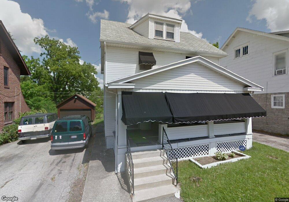
10 Summit Ct Mansfield, OH 44906
Estimated Value: $128,000 - $134,000
3
Beds
2
Baths
1,467
Sq Ft
$89/Sq Ft
Est. Value
About This Home
This home is located at 10 Summit Ct, Mansfield, OH 44906 and is currently estimated at $130,229, approximately $88 per square foot. 10 Summit Ct is a home located in Richland County with nearby schools including Goal Digital Academy, St. Peter's Elementary/Montessori School, and St. Peter's Junior High / High School.
Ownership History
Date
Name
Owned For
Owner Type
Purchase Details
Closed on
Nov 19, 2010
Sold by
Wooldridge Patricia A and Wooldridge Gary L
Bought by
Moore Latacia S
Current Estimated Value
Home Financials for this Owner
Home Financials are based on the most recent Mortgage that was taken out on this home.
Original Mortgage
$33,040
Interest Rate
4.75%
Mortgage Type
FHA
Purchase Details
Closed on
Sep 26, 1991
Sold by
Stoughton Richard C
Bought by
Stoughton Richard C
Create a Home Valuation Report for This Property
The Home Valuation Report is an in-depth analysis detailing your home's value as well as a comparison with similar homes in the area
Home Values in the Area
Average Home Value in this Area
Purchase History
| Date | Buyer | Sale Price | Title Company |
|---|---|---|---|
| Moore Latacia S | $33,900 | Southern Title | |
| Stoughton Richard C | -- | -- |
Source: Public Records
Mortgage History
| Date | Status | Borrower | Loan Amount |
|---|---|---|---|
| Previous Owner | Moore Latacia S | $33,040 |
Source: Public Records
Tax History
| Year | Tax Paid | Tax Assessment Tax Assessment Total Assessment is a certain percentage of the fair market value that is determined by local assessors to be the total taxable value of land and additions on the property. | Land | Improvement |
|---|---|---|---|---|
| 2024 | $1,401 | $29,260 | $3,930 | $25,330 |
| 2023 | $1,401 | $29,260 | $3,930 | $25,330 |
| 2022 | $1,148 | $20,090 | $3,190 | $16,900 |
| 2021 | $1,156 | $20,090 | $3,190 | $16,900 |
| 2020 | $1,182 | $20,090 | $3,190 | $16,900 |
| 2019 | $1,310 | $20,090 | $3,190 | $16,900 |
| 2018 | $1,293 | $20,090 | $3,190 | $16,900 |
| 2017 | $1,275 | $20,090 | $3,190 | $16,900 |
| 2016 | $1,291 | $20,000 | $3,400 | $16,600 |
| 2015 | $1,291 | $20,000 | $3,400 | $16,600 |
| 2014 | $1,217 | $20,000 | $3,400 | $16,600 |
| 2012 | $466 | $20,000 | $3,580 | $16,420 |
Source: Public Records
Map
Nearby Homes
- 71 Dawson Ave
- 126 Dawson Ave
- 108 Stewart Ave S
- 116 Stewart Ave S
- 31 Parkwood Blvd
- 30 Douglas Ave
- 38 Penn Ave
- 458 W West Dickson Ave
- 519 Heineman Blvd
- 190 Dawson Ave
- 51 Lind Ave
- 10 Gray Ct
- 169 Euclid Ave
- 129 Fairlawn Ave
- 135 Fairlawn Ave
- 183 Carpenter Rd
- 143 Fairlawn Ave
- 224 Atcheson Ave
- 135 Wood St
- 344 W 5th St
Your Personal Tour Guide
Ask me questions while you tour the home.