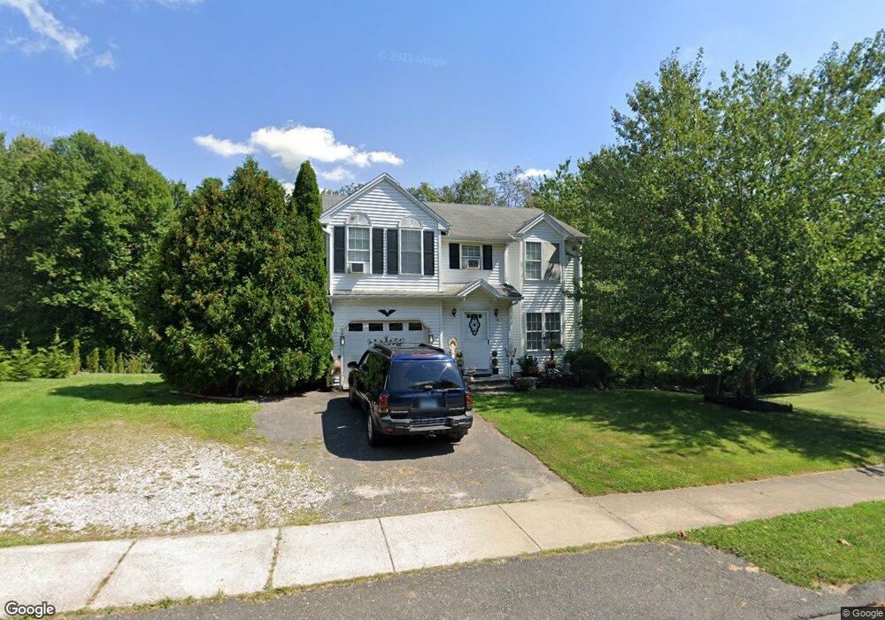
10 Sunrise Rd Wolcott, CT 06716
Estimated Value: $206,000 - $398,000
3
Beds
2
Baths
1,437
Sq Ft
$192/Sq Ft
Est. Value
About This Home
This home is located at 10 Sunrise Rd, Wolcott, CT 06716 and is currently estimated at $275,524, approximately $191 per square foot. 10 Sunrise Rd is a home located in New Haven County with nearby schools including Tyrrell Middle School and Wolcott High School.
Ownership History
Date
Name
Owned For
Owner Type
Purchase Details
Closed on
Feb 13, 1996
Sold by
Hamilton Dev Corp
Bought by
Palombo Steven M and Palombo Nancy
Current Estimated Value
Home Financials for this Owner
Home Financials are based on the most recent Mortgage that was taken out on this home.
Original Mortgage
$104,800
Outstanding Balance
$3,342
Interest Rate
6.75%
Mortgage Type
Unknown
Estimated Equity
$272,182
Create a Home Valuation Report for This Property
The Home Valuation Report is an in-depth analysis detailing your home's value as well as a comparison with similar homes in the area
Home Values in the Area
Average Home Value in this Area
Purchase History
| Date | Buyer | Sale Price | Title Company |
|---|---|---|---|
| Palombo Steven M | $105,500 | -- |
Source: Public Records
Mortgage History
| Date | Status | Borrower | Loan Amount |
|---|---|---|---|
| Open | Palombo Steven M | $104,800 | |
| Closed | Palombo Steven M | $3,000 |
Source: Public Records
Tax History Compared to Growth
Tax History
| Year | Tax Paid | Tax Assessment Tax Assessment Total Assessment is a certain percentage of the fair market value that is determined by local assessors to be the total taxable value of land and additions on the property. | Land | Improvement |
|---|---|---|---|---|
| 2025 | $4,369 | $121,603 | $19,600 | $102,003 |
| 2024 | $4,021 | $121,603 | $19,600 | $102,003 |
| 2023 | $3,875 | $121,603 | $19,600 | $102,003 |
| 2022 | $3,745 | $121,603 | $19,600 | $102,003 |
| 2021 | $3,776 | $113,940 | $19,600 | $94,340 |
| 2020 | $3,776 | $113,940 | $19,600 | $94,340 |
| 2019 | $3,776 | $113,940 | $19,600 | $94,340 |
| 2018 | $3,669 | $113,940 | $19,600 | $94,340 |
| 2017 | $3,563 | $113,940 | $19,600 | $94,340 |
| 2016 | $3,175 | $109,830 | $19,600 | $90,230 |
| 2015 | $3,084 | $109,830 | $19,600 | $90,230 |
| 2014 | $2,984 | $109,830 | $19,600 | $90,230 |
Source: Public Records
Map
Nearby Homes
- 210 Munson Rd Unit 2-D
- 210 Munson Rd Unit 2-B
- 210 Munson Rd Unit 2-F
- 210 Munson Rd Unit 3B
- 210 Munson Rd Unit 2-G
- 210 Munson Rd Unit 3D
- 210 Munson Rd Unit 3C
- 210 Munson Rd Unit 2-H
- 210 Munson Rd Unit 2-C
- 210 Munson Rd Unit 2-E
- 20 Wolf Hill Rd Unit 7H
- 10 Badger Rd
- 2 Red Fox Run
- 7 Overvale Rd
- 8 Constitution Dr
- 124 Potuccos Ring Rd
- 128 Lyman Rd Unit 24
- 128 Lyman Rd Unit 25
- 160 Brooks Hill Rd
- 264 Lyman Rd Unit 2-11