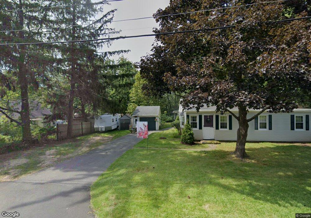
10 Sunset Ln Bolton, CT 06043
Estimated Value: $328,000 - $365,502
3
Beds
1
Bath
1,248
Sq Ft
$275/Sq Ft
Est. Value
About This Home
This home is located at 10 Sunset Ln, Bolton, CT 06043 and is currently estimated at $342,876, approximately $274 per square foot. 10 Sunset Ln is a home located in Tolland County with nearby schools including Bolton Center School, Bolton High School, and Holy Seed Christian Academy.
Ownership History
Date
Name
Owned For
Owner Type
Purchase Details
Closed on
May 15, 2025
Sold by
Turney James L and Turney Maureen A
Bought by
Cormier Sarah
Current Estimated Value
Home Financials for this Owner
Home Financials are based on the most recent Mortgage that was taken out on this home.
Original Mortgage
$198,250
Outstanding Balance
$197,368
Interest Rate
6.64%
Mortgage Type
Purchase Money Mortgage
Estimated Equity
$145,508
Purchase Details
Closed on
Nov 24, 1997
Sold by
Mccane Michael
Bought by
Turney James and Turney Maureen
Purchase Details
Closed on
Sep 23, 1987
Sold by
Angell Donna
Bought by
Mccune Michael
Create a Home Valuation Report for This Property
The Home Valuation Report is an in-depth analysis detailing your home's value as well as a comparison with similar homes in the area
Home Values in the Area
Average Home Value in this Area
Purchase History
| Date | Buyer | Sale Price | Title Company |
|---|---|---|---|
| Cormier Sarah | $325,000 | None Available | |
| Cormier Sarah | $325,000 | None Available | |
| Turney James | $100,000 | -- | |
| Turney James | $100,000 | -- | |
| Mccune Michael | $124,000 | -- |
Source: Public Records
Mortgage History
| Date | Status | Borrower | Loan Amount |
|---|---|---|---|
| Open | Cormier Sarah | $198,250 | |
| Closed | Cormier Sarah | $198,250 | |
| Previous Owner | Mccune Michael | $185,542 | |
| Previous Owner | Mccune Michael | $193,601 |
Source: Public Records
Tax History Compared to Growth
Tax History
| Year | Tax Paid | Tax Assessment Tax Assessment Total Assessment is a certain percentage of the fair market value that is determined by local assessors to be the total taxable value of land and additions on the property. | Land | Improvement |
|---|---|---|---|---|
| 2025 | $5,252 | $162,600 | $59,900 | $102,700 |
| 2024 | $5,324 | $162,600 | $59,900 | $102,700 |
| 2023 | $4,198 | $95,800 | $40,400 | $55,400 |
| 2022 | $3,777 | $95,800 | $40,400 | $55,400 |
| 2021 | $3,723 | $95,800 | $40,400 | $55,400 |
| 2020 | $3,723 | $95,800 | $40,400 | $55,400 |
| 2019 | $3,736 | $95,800 | $40,400 | $55,400 |
| 2015 | $3,475 | $94,500 | $0 | $0 |
| 2014 | $3,340 | $94,500 | $0 | $0 |
Source: Public Records
Map
Nearby Homes
- 30 Tolland Rd
- 5 Laurelwood Ln Unit lot 16
- 65 Bolton Branch Rd
- 20 Fernwood Dr
- 7 Laurelwood Ln Unit Lot 15
- 12 Laurelwood Ln Unit lot 8
- 676 Bolton Rd
- 0 Boston Turnpike Unit 24128587
- 687 Hop River Rd
- 101 Dockerel Rd
- 38 John Paul Ln
- 51 Country Club Rd
- 93 Dockerel Rd
- 54 Wolf Hill Rd Unit TBB
- 25 Briarwood Ln
- 54 Wolf Hill (Lot#49) Rd
- 81 Bouldercrest Ln
- 48 Rainbow Trail
- 37 Wolf Hill Rd Unit Lot 40
- 37 Wolf Hill Lot (#40) Rd