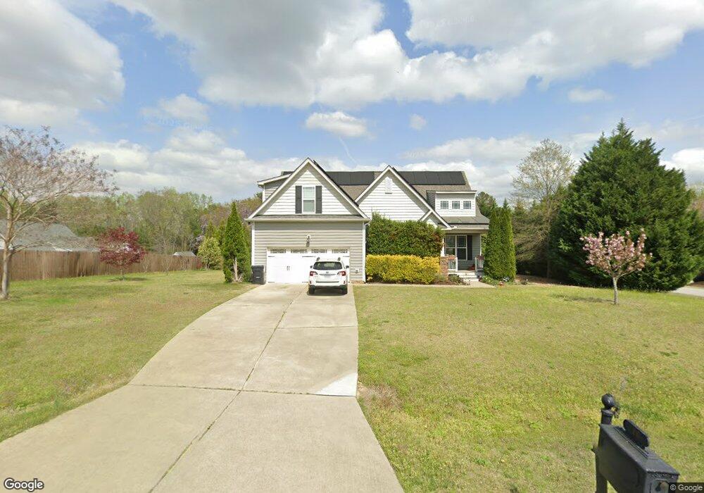
10 Suzanne Dr Unit L27 Angier, NC 27501
Pleasant Grove NeighborhoodEstimated Value: $415,000 - $480,000
3
Beds
3
Baths
2,640
Sq Ft
$170/Sq Ft
Est. Value
About This Home
This home is located at 10 Suzanne Dr Unit L27, Angier, NC 27501 and is currently estimated at $449,797, approximately $170 per square foot. 10 Suzanne Dr Unit L27 is a home located in Johnston County with nearby schools including McGee's Crossroads Elementary School, McGee's Crossroads Middle School, and West Johnston High School.
Ownership History
Date
Name
Owned For
Owner Type
Purchase Details
Closed on
Jun 27, 2013
Sold by
Capitol City Homes Llc
Bought by
Little Christopher N and Little Valerie R
Current Estimated Value
Home Financials for this Owner
Home Financials are based on the most recent Mortgage that was taken out on this home.
Original Mortgage
$219,900
Outstanding Balance
$159,017
Interest Rate
3.79%
Mortgage Type
New Conventional
Estimated Equity
$290,780
Purchase Details
Closed on
Jan 17, 2012
Sold by
Bdg Amary Associates Llc
Bought by
Capitol City Homes Llc
Create a Home Valuation Report for This Property
The Home Valuation Report is an in-depth analysis detailing your home's value as well as a comparison with similar homes in the area
Home Values in the Area
Average Home Value in this Area
Purchase History
| Date | Buyer | Sale Price | Title Company |
|---|---|---|---|
| Little Christopher N | $220,000 | None Available | |
| Capitol City Homes Llc | $825,000 | None Available |
Source: Public Records
Mortgage History
| Date | Status | Borrower | Loan Amount |
|---|---|---|---|
| Open | Little Christopher N | $219,900 |
Source: Public Records
Tax History
| Year | Tax Paid | Tax Assessment Tax Assessment Total Assessment is a certain percentage of the fair market value that is determined by local assessors to be the total taxable value of land and additions on the property. | Land | Improvement |
|---|---|---|---|---|
| 2025 | $2,795 | $440,190 | $80,000 | $360,190 |
| 2024 | $2,124 | $262,200 | $40,000 | $222,200 |
| 2023 | $2,058 | $262,200 | $40,000 | $222,200 |
| 2022 | $2,124 | $262,200 | $40,000 | $222,200 |
| 2021 | $2,124 | $262,200 | $40,000 | $222,200 |
| 2020 | $2,202 | $262,200 | $40,000 | $222,200 |
| 2019 | $2,150 | $262,200 | $40,000 | $222,200 |
| 2018 | $2,134 | $254,060 | $40,000 | $214,060 |
| 2017 | $2,134 | $254,060 | $40,000 | $214,060 |
| 2016 | $2,134 | $254,060 | $40,000 | $214,060 |
| 2015 | $2,134 | $254,060 | $40,000 | $214,060 |
| 2014 | $2,134 | $254,060 | $40,000 | $214,060 |
Source: Public Records
Map
Nearby Homes
- 71 Suzanne Dr
- 810 | 850 Wiggins Rd
- 197 Silverside Dr
- 16622 N Carolina 210
- 105 Pinecrest Dr
- 40 Broadhead Ct
- 3002 Red Cir
- 506 Harbor Cove Dr
- 369 Everland Pkwy
- 16 Keystone Ct
- 264 Harbor Cove Dr
- 444 Everland Pkwy
- 232 Burrage Dr
- 57 Bowie Ct
- 3361 Old Fairground Rd
- 410 Penwood Rd
- 131 Regal Pond Dr
- 205 Teresa Ct
- 106 S Bream Ct Unit Lot 10
- 106 S Bream Ct
- 26 Edmund Dr
- 12 Edmund Dr
- 12 Edmund Dr Unit L26-AM
- 32 Suzanne Dr Unit L28
- 32 Suzanne Dr
- 12 Rean Ct
- 12 Rean Ct Unit L28
- 23 Edmund Dr
- 26 Rean Ct Unit L29
- 26 Rean Ct
- 34 Rean Ct
- 49 Edmund Dr
- 11 Suzanne Dr
- 23 Suzanne Dr
- 41 Suzanne Dr
- 115 Wiggins Rd
- 59 Edmund Dr
- 62 Suzanne Dr
- 62 Suzanne Dr Unit L32
- 84 Edmund Dr
Your Personal Tour Guide
Ask me questions while you tour the home.