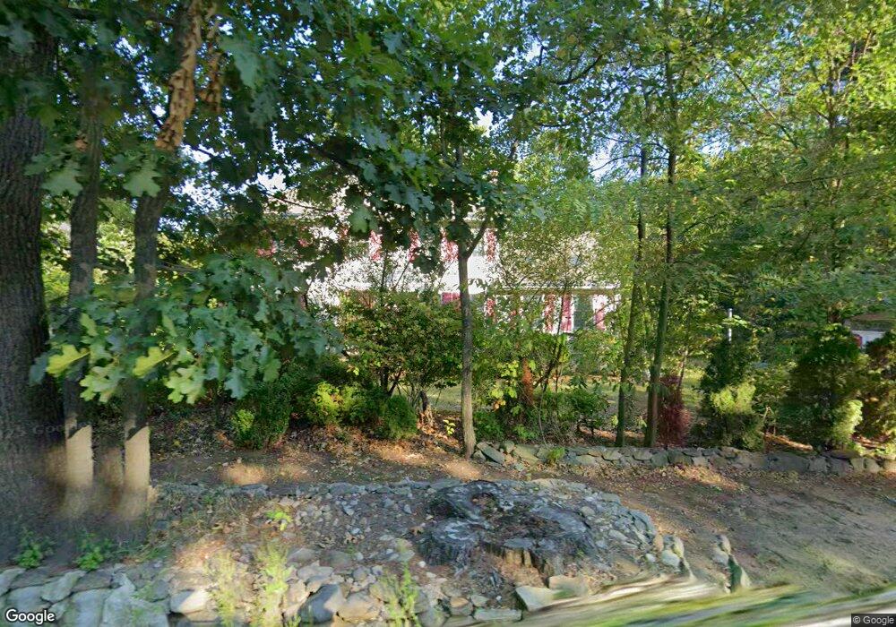
10 Swan Rd Tyngsboro, MA 01879
Estimated Value: $833,194 - $981,000
3
Beds
3
Baths
2,835
Sq Ft
$317/Sq Ft
Est. Value
About This Home
This home is located at 10 Swan Rd, Tyngsboro, MA 01879 and is currently estimated at $899,549, approximately $317 per square foot. 10 Swan Rd is a home located in Middlesex County with nearby schools including Tyngsborough Elementary School, Tyngsborough Middle School, and Tyngsborough High School.
Ownership History
Date
Name
Owned For
Owner Type
Purchase Details
Closed on
Sep 18, 1998
Sold by
Wre Dev Corp
Bought by
Hut Thirith and Tea Bosba
Current Estimated Value
Home Financials for this Owner
Home Financials are based on the most recent Mortgage that was taken out on this home.
Original Mortgage
$175,000
Interest Rate
6.9%
Mortgage Type
Purchase Money Mortgage
Create a Home Valuation Report for This Property
The Home Valuation Report is an in-depth analysis detailing your home's value as well as a comparison with similar homes in the area
Home Values in the Area
Average Home Value in this Area
Purchase History
| Date | Buyer | Sale Price | Title Company |
|---|---|---|---|
| Hut Thirith | $230,000 | -- |
Source: Public Records
Mortgage History
| Date | Status | Borrower | Loan Amount |
|---|---|---|---|
| Open | Hut Thirith | $150,000 | |
| Closed | Hut Thirith | $165,000 | |
| Closed | Hut Thirith | $35,000 | |
| Closed | Hut Thirith | $175,000 |
Source: Public Records
Tax History Compared to Growth
Tax History
| Year | Tax Paid | Tax Assessment Tax Assessment Total Assessment is a certain percentage of the fair market value that is determined by local assessors to be the total taxable value of land and additions on the property. | Land | Improvement |
|---|---|---|---|---|
| 2025 | $87 | $702,900 | $269,900 | $433,000 |
| 2024 | $8,702 | $684,100 | $263,200 | $420,900 |
| 2023 | $8,239 | $582,700 | $219,600 | $363,100 |
| 2022 | $7,915 | $529,800 | $191,300 | $338,500 |
| 2021 | $7,759 | $482,800 | $173,900 | $308,900 |
| 2020 | $7,638 | $470,000 | $165,200 | $304,800 |
| 2019 | $7,324 | $432,600 | $156,500 | $276,100 |
| 2018 | $7,231 | $422,600 | $156,500 | $266,100 |
| 2017 | $6,993 | $407,500 | $156,500 | $251,000 |
| 2016 | $6,843 | $389,700 | $156,500 | $233,200 |
| 2015 | $6,535 | $385,300 | $152,100 | $233,200 |
Source: Public Records
Map
Nearby Homes
- 160 Westford Rd
- 0 Dunstable Rd
- 76 Russells Way
- 23 Morrison Ln
- 454 Dunstable Rd
- 20 Highland Rd
- 22 Highland Rd
- 15 Stone Ridge Rd
- 10 Dickens Ln
- 11 Old Hickory Rd
- 9 Kayla Dr
- 24 Old Tyng Rd
- 10 Worden Rd
- 5 Stableford Ct Unit 11
- 14 Centercrest Dr Unit 14
- 20 Merrimac Way Unit 20E
- 46 Pawtucket Blvd Unit 37
- 5 Mission Rd Unit 107
- 1 Appian Way
- 0 Lowell St