10 Tamarisk Ct Basking Ridge, NJ 07920
Estimated Value: $1,468,198 - $1,663,000
--
Bed
--
Bath
3,526
Sq Ft
$448/Sq Ft
Est. Value
About This Home
This home is located at 10 Tamarisk Ct, Basking Ridge, NJ 07920 and is currently estimated at $1,581,050, approximately $448 per square foot. 10 Tamarisk Ct is a home located in Somerset County with nearby schools including Oak Street Elementary School, William Annin Middle School, and Ridge High School.
Ownership History
Date
Name
Owned For
Owner Type
Purchase Details
Closed on
Apr 29, 1998
Sold by
Herbert William P
Bought by
Paton Nigel M and Paton Constance B
Current Estimated Value
Home Financials for this Owner
Home Financials are based on the most recent Mortgage that was taken out on this home.
Original Mortgage
$125,000
Outstanding Balance
$24,275
Interest Rate
7.03%
Estimated Equity
$1,556,775
Create a Home Valuation Report for This Property
The Home Valuation Report is an in-depth analysis detailing your home's value as well as a comparison with similar homes in the area
Home Values in the Area
Average Home Value in this Area
Purchase History
| Date | Buyer | Sale Price | Title Company |
|---|---|---|---|
| Paton Nigel M | $580,000 | -- |
Source: Public Records
Mortgage History
| Date | Status | Borrower | Loan Amount |
|---|---|---|---|
| Open | Paton Nigel M | $125,000 |
Source: Public Records
Tax History Compared to Growth
Tax History
| Year | Tax Paid | Tax Assessment Tax Assessment Total Assessment is a certain percentage of the fair market value that is determined by local assessors to be the total taxable value of land and additions on the property. | Land | Improvement |
|---|---|---|---|---|
| 2025 | $21,843 | $1,321,700 | $408,600 | $913,100 |
| 2024 | $21,843 | $1,227,800 | $363,600 | $864,200 |
| 2023 | $20,141 | $1,067,900 | $345,600 | $722,300 |
| 2022 | $19,790 | $984,100 | $345,600 | $638,500 |
| 2021 | $19,866 | $941,500 | $345,600 | $595,900 |
| 2020 | $19,390 | $926,000 | $345,600 | $580,400 |
| 2019 | $19,569 | $962,100 | $356,400 | $605,700 |
| 2018 | $19,440 | $969,600 | $357,900 | $611,700 |
| 2017 | $19,297 | $970,200 | $353,400 | $616,800 |
| 2016 | $19,303 | $989,400 | $365,300 | $624,100 |
| 2015 | $18,647 | $968,000 | $373,000 | $595,000 |
| 2014 | $17,831 | $922,000 | $376,900 | $545,100 |
Source: Public Records
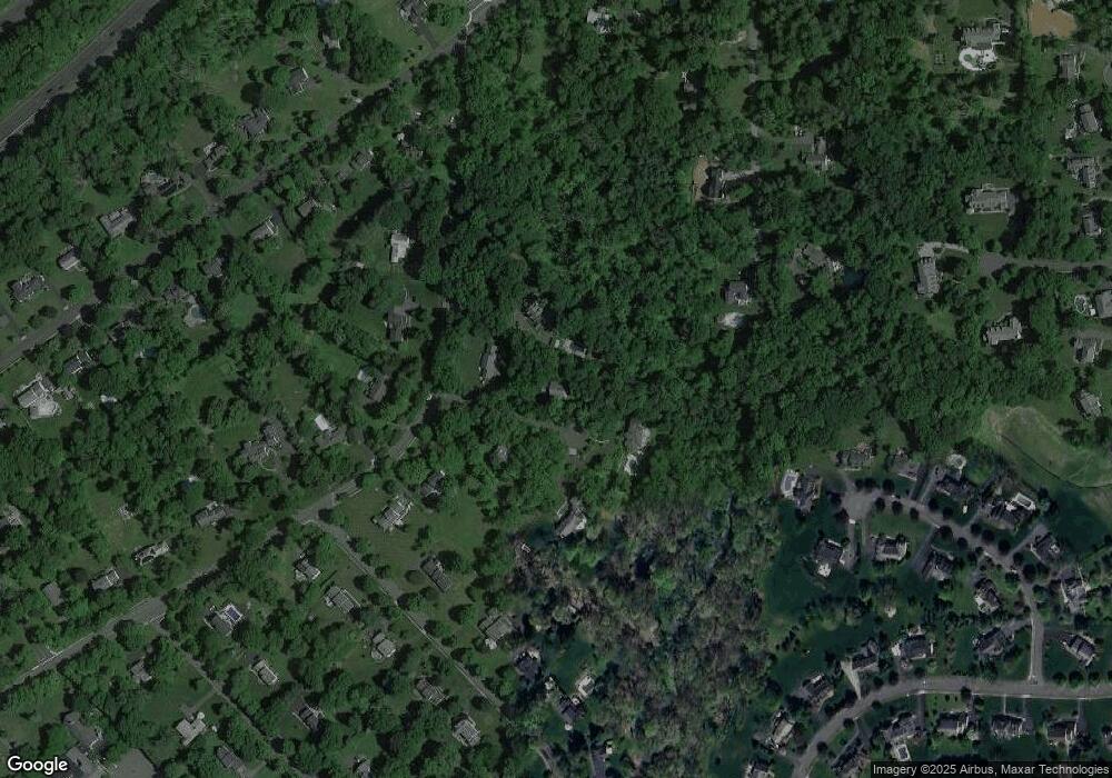
Map
Nearby Homes
- 12 Tamarisk Ct
- 209 Lake Rd
- 135 Woods End Dr
- 12 Wayne Terrace
- 247 Lyons Rd
- 92 Whitenack Rd
- 117 W Oak St
- 44 Manor Dr
- 19 Juniper Way
- 22 Dayton St
- 16 Dayton Crescent
- 374 S Maple Ave
- 23 Charlotte Hill Dr
- 50 Cherry Ln
- 19 Emily Rd
- 496 Mine Brook Rd
- 7 Chestnut Ct
- 453 Mine Brook Rd
- 227 Arrowood Way
- 101 Rippling Brook Way