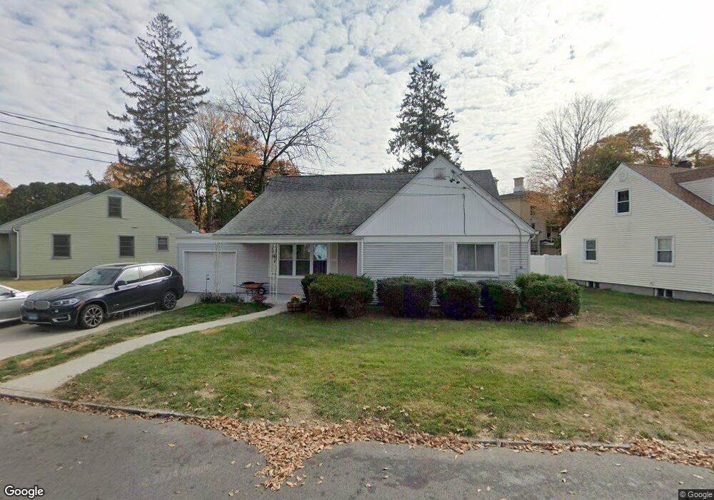
10 Taylor Dr Norwich, CT 06360
Central Norwich NeighborhoodEstimated Value: $321,000 - $1,020,000
3
Beds
2
Baths
2,488
Sq Ft
$201/Sq Ft
Est. Value
About This Home
This home is located at 10 Taylor Dr, Norwich, CT 06360 and is currently estimated at $501,006, approximately $201 per square foot. 10 Taylor Dr is a home located in New London County with nearby schools including Samuel Huntington Elementary School, Kelly STEAM Magnet Middle School, and Integrated Day Charter School.
Ownership History
Date
Name
Owned For
Owner Type
Purchase Details
Closed on
Apr 25, 2019
Sold by
Bransford-Larry Susan M
Bought by
Bransford-Ashley I M
Current Estimated Value
Purchase Details
Closed on
Sep 15, 1993
Sold by
Shaprio David S
Bought by
Cohen Harry J
Create a Home Valuation Report for This Property
The Home Valuation Report is an in-depth analysis detailing your home's value as well as a comparison with similar homes in the area
Home Values in the Area
Average Home Value in this Area
Purchase History
| Date | Buyer | Sale Price | Title Company |
|---|---|---|---|
| Bransford-Ashley I M | -- | -- | |
| Bransford-Ashley I M | -- | -- | |
| Cohen Harry J | $40,000 | -- | |
| Cohen Harry J | $40,000 | -- |
Source: Public Records
Mortgage History
| Date | Status | Borrower | Loan Amount |
|---|---|---|---|
| Previous Owner | Cohen Harry J | $15,000 | |
| Previous Owner | Cohen Harry J | $10,000 | |
| Previous Owner | Cohen Harry J | $124,000 |
Source: Public Records
Tax History
| Year | Tax Paid | Tax Assessment Tax Assessment Total Assessment is a certain percentage of the fair market value that is determined by local assessors to be the total taxable value of land and additions on the property. | Land | Improvement |
|---|---|---|---|---|
| 2025 | $8,122 | $200,700 | $33,900 | $166,800 |
| 2024 | $7,667 | $200,700 | $33,900 | $166,800 |
| 2023 | $6,596 | $135,600 | $28,800 | $106,800 |
| 2022 | $6,574 | $135,600 | $28,800 | $106,800 |
| 2021 | $6,596 | $135,600 | $28,800 | $106,800 |
| 2020 | $6,573 | $135,600 | $28,800 | $106,800 |
| 2019 | $6,507 | $135,600 | $28,800 | $106,800 |
| 2018 | $5,792 | $119,700 | $32,900 | $86,800 |
| 2017 | $5,834 | $119,700 | $32,900 | $86,800 |
| 2016 | $5,872 | $119,700 | $32,900 | $86,800 |
| 2015 | $5,753 | $119,700 | $32,900 | $86,800 |
| 2014 | $5,498 | $119,700 | $32,900 | $86,800 |
Source: Public Records
Map
Nearby Homes
- 150 Yantic St Unit 224
- 14 Sturtevant Ave
- 10 Rockwell St
- 34 Buckingham Ave
- 21 Buckingham Ave
- 121 Cedar St
- 28 Perkins Ave
- 40 Maple Grove Ave
- 78 Mckinley Ave
- 185 Broadway
- 9 Washington St
- 182 Broad St
- 110 Oneco St
- 220 Franklin St
- 15 Platt Ave
- 227 Rockwell St
- 33 Division St
- 254 Broad St
- 0 Vine St
- 22R Julian Terrace
Your Personal Tour Guide
Ask me questions while you tour the home.