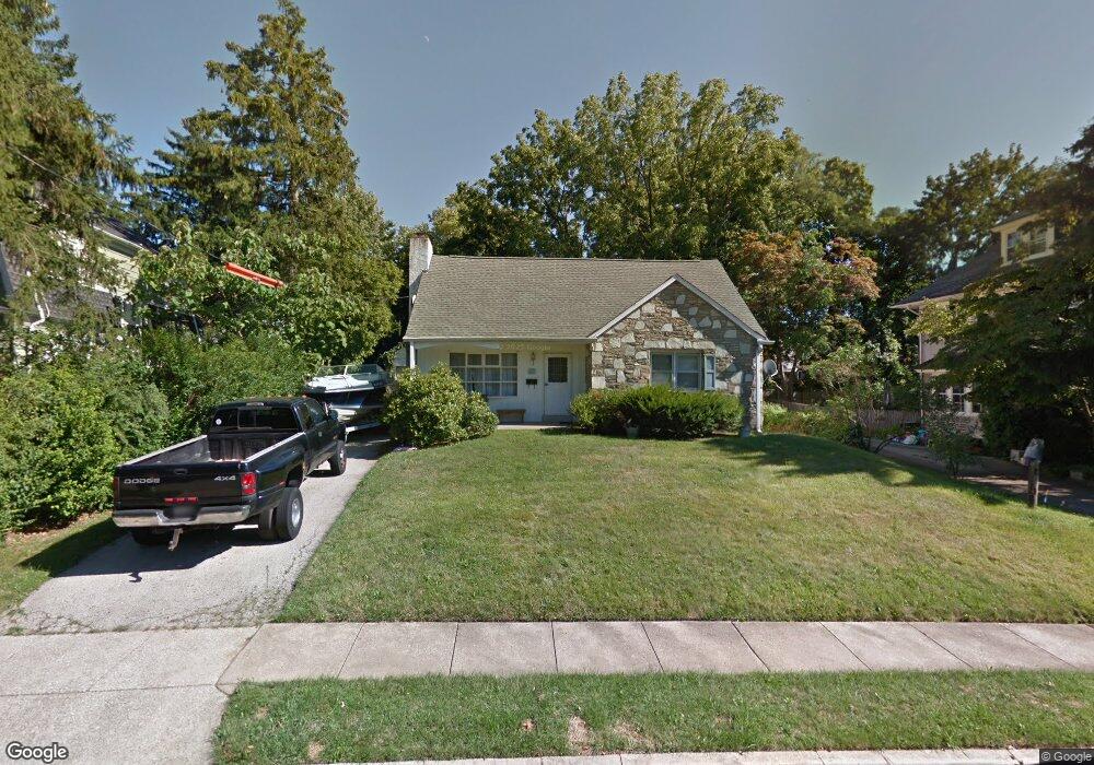
10 Terminal Ave Glenside, PA 19038
Estimated Value: $522,530 - $635,000
5
Beds
2
Baths
1,575
Sq Ft
$376/Sq Ft
Est. Value
About This Home
This home is located at 10 Terminal Ave, Glenside, PA 19038 and is currently estimated at $592,883, approximately $376 per square foot. 10 Terminal Ave is a home located in Montgomery County with nearby schools including Erdenheim Elementary School, Enfield Elementary School, and Springfield Township Middle School.
Ownership History
Date
Name
Owned For
Owner Type
Purchase Details
Closed on
May 31, 2018
Sold by
Spencer John B and Spencer Robert L
Bought by
Spencer John B
Current Estimated Value
Purchase Details
Closed on
Mar 27, 2013
Sold by
Spencer John B
Bought by
Spencer John B and Spencer Robert L
Create a Home Valuation Report for This Property
The Home Valuation Report is an in-depth analysis detailing your home's value as well as a comparison with similar homes in the area
Home Values in the Area
Average Home Value in this Area
Purchase History
| Date | Buyer | Sale Price | Title Company |
|---|---|---|---|
| Spencer John B | -- | None Available | |
| Spencer John B | -- | None Available |
Source: Public Records
Tax History
| Year | Tax Paid | Tax Assessment Tax Assessment Total Assessment is a certain percentage of the fair market value that is determined by local assessors to be the total taxable value of land and additions on the property. | Land | Improvement |
|---|---|---|---|---|
| 2025 | $6,457 | $137,100 | $46,070 | $91,030 |
| 2024 | $6,457 | $137,100 | $46,070 | $91,030 |
| 2023 | $6,232 | $137,100 | $46,070 | $91,030 |
| 2022 | $6,054 | $137,100 | $46,070 | $91,030 |
| 2021 | $5,896 | $137,100 | $46,070 | $91,030 |
| 2020 | $5,758 | $137,100 | $46,070 | $91,030 |
| 2019 | $5,670 | $137,100 | $46,070 | $91,030 |
Source: Public Records
Map
Nearby Homes
- 99 Rorer St
- 32 Windsor Rd
- 216 Heatherwood Rd
- 111 Chesney Ln
- 9402 Meadowbrook Ave
- 118 E Hillcrest Ave
- 305 Glenway Rd
- 8609 Trumbauer Dr Unit L57
- 116 E Chestnut Hill Ave
- 124 E Chestnut Hill Ave
- 8550 Trumbauer Dr Unit L35
- 418 Glenway Rd
- 28 Grove Ave
- 8408 Prospect Ave
- 300 Preston Rd
- 402 Pennybrook Ct
- 401 Pennybrook Ct Unit 1 REDFORD END
- 404 Pennybrook Ct Unit 15 REDFORD INTERIOR
- 30 Summit St
- 403 Pennybrook Ct Unit 2 REDFORD INTERIOR
Your Personal Tour Guide
Ask me questions while you tour the home.