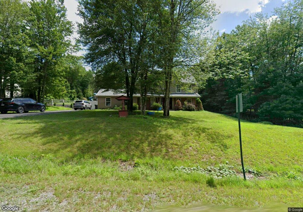
10 Tiffany Ct Kunkletown, PA 18058
Estimated Value: $472,000 - $558,000
4
Beds
3
Baths
2,900
Sq Ft
$176/Sq Ft
Est. Value
About This Home
This home is located at 10 Tiffany Ct, Kunkletown, PA 18058 and is currently estimated at $508,967, approximately $175 per square foot. 10 Tiffany Ct is a home located in Monroe County with nearby schools including Pleasant Valley Elementary School, Pleasant Valley Intermediate School, and Pleasant Valley Middle School.
Ownership History
Date
Name
Owned For
Owner Type
Purchase Details
Closed on
Apr 22, 2015
Sold by
Becht Charles and Becht Theresa
Bought by
Lasala Michael and Becht Samantha
Current Estimated Value
Home Financials for this Owner
Home Financials are based on the most recent Mortgage that was taken out on this home.
Original Mortgage
$216,800
Outstanding Balance
$167,018
Interest Rate
3.76%
Mortgage Type
New Conventional
Estimated Equity
$341,949
Purchase Details
Closed on
Jun 8, 2013
Sold by
Fannie Mae
Bought by
Becht Theresa and Becht Charles
Purchase Details
Closed on
Mar 1, 2013
Sold by
Andrews Thomas J and Andrews Frances L
Bought by
Federal National Mortgage Association
Create a Home Valuation Report for This Property
The Home Valuation Report is an in-depth analysis detailing your home's value as well as a comparison with similar homes in the area
Home Values in the Area
Average Home Value in this Area
Purchase History
| Date | Buyer | Sale Price | Title Company |
|---|---|---|---|
| Lasala Michael | $250,000 | None Available | |
| Becht Theresa | $147,202 | None Available | |
| Federal National Mortgage Association | $51,784 | None Available |
Source: Public Records
Mortgage History
| Date | Status | Borrower | Loan Amount |
|---|---|---|---|
| Open | Lasala Michael | $216,800 |
Source: Public Records
Tax History Compared to Growth
Tax History
| Year | Tax Paid | Tax Assessment Tax Assessment Total Assessment is a certain percentage of the fair market value that is determined by local assessors to be the total taxable value of land and additions on the property. | Land | Improvement |
|---|---|---|---|---|
| 2025 | $1,481 | $228,990 | $29,700 | $199,290 |
| 2024 | $1,053 | $228,990 | $29,700 | $199,290 |
| 2023 | $6,522 | $228,990 | $29,700 | $199,290 |
| 2022 | $6,334 | $228,990 | $29,700 | $199,290 |
| 2021 | $6,189 | $228,990 | $29,700 | $199,290 |
| 2020 | $5,822 | $228,990 | $29,700 | $199,290 |
| 2019 | $6,317 | $36,030 | $7,000 | $29,030 |
| 2018 | $6,245 | $36,030 | $7,000 | $29,030 |
| 2017 | $6,245 | $36,030 | $7,000 | $29,030 |
| 2016 | $921 | $36,030 | $7,000 | $29,030 |
| 2015 | -- | $36,030 | $7,000 | $29,030 |
| 2014 | -- | $36,030 | $7,000 | $29,030 |
Source: Public Records
Map
Nearby Homes
- 120 Upper Greenhill Rd
- 142 Pine Grove Rd
- CO Line Forest Dr
- 5138 Walnut St
- 0 Sr 209 Unit PM-130225
- 160 Grassy Rd
- Lot E 25 Pleasant View Dr
- 0 Pleasant View Dr
- 3036 Pleasant View Dr Unit 28
- 3315 Aspen Rd Unit PVL
- 0 Ashley Ct H15
- 0 Ashley Ct I
- 209 Floyd Dr
- Lr 45003 Gilbert Rd
- 0 Victoria Arms Cir Unit PM-133039
- Lot 32 Greenview Ct
- 376 H T Y Rd
- 131 Lobach Ln
- 0 Lr 45003 Unit PM-132004
- 376 Hty Rd