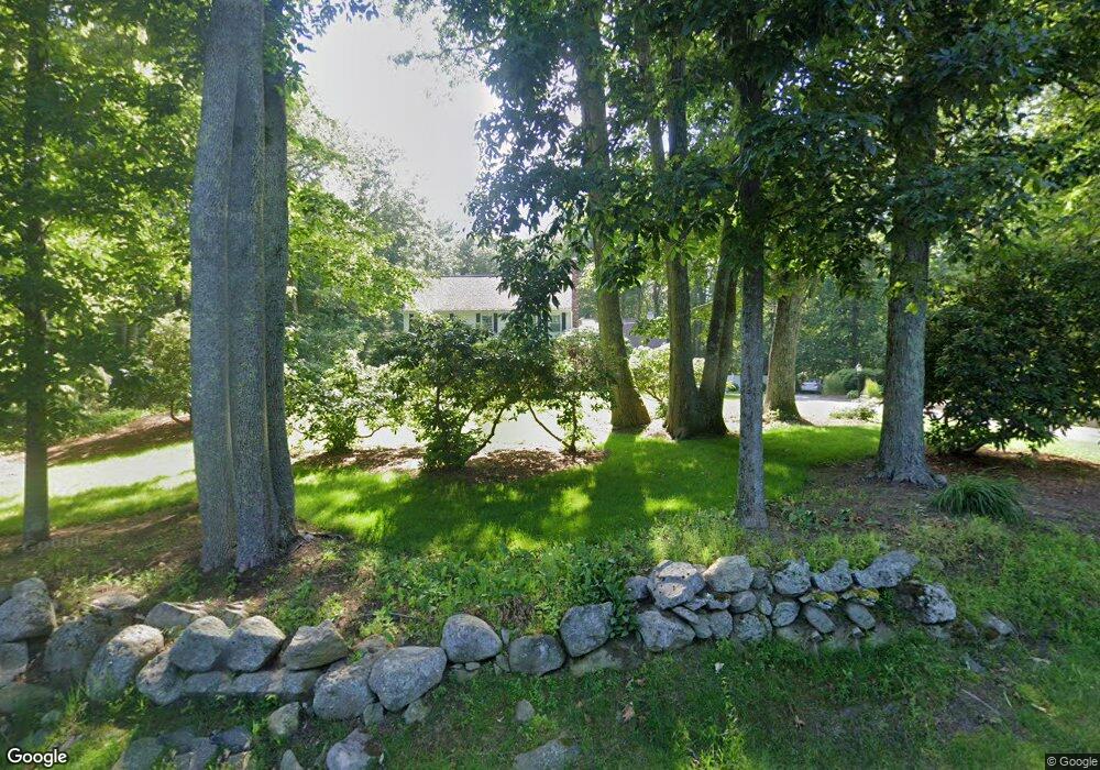
10 Tiot St Sharon, MA 02067
Estimated Value: $902,000 - $1,427,000
4
Beds
3
Baths
2,436
Sq Ft
$436/Sq Ft
Est. Value
About This Home
This home is located at 10 Tiot St, Sharon, MA 02067 and is currently estimated at $1,063,113, approximately $436 per square foot. 10 Tiot St is a home located in Norfolk County with nearby schools including Cottage Street Elementary School, Sharon Middle School, and Sharon High School.
Ownership History
Date
Name
Owned For
Owner Type
Purchase Details
Closed on
Jan 23, 2023
Sold by
Andler Douglas A
Bought by
Andler Ft
Current Estimated Value
Purchase Details
Closed on
Sep 27, 1993
Sold by
Kelfer Robert I
Bought by
Andler Douglas A
Create a Home Valuation Report for This Property
The Home Valuation Report is an in-depth analysis detailing your home's value as well as a comparison with similar homes in the area
Home Values in the Area
Average Home Value in this Area
Purchase History
| Date | Buyer | Sale Price | Title Company |
|---|---|---|---|
| Andler Ft | -- | None Available | |
| Andler Douglas A | $272,500 | -- |
Source: Public Records
Mortgage History
| Date | Status | Borrower | Loan Amount |
|---|---|---|---|
| Previous Owner | Andler Douglas A | $500,000 | |
| Previous Owner | Andler Douglas A | $320,350 | |
| Previous Owner | Andler Douglas A | $260,000 |
Source: Public Records
Tax History
| Year | Tax Paid | Tax Assessment Tax Assessment Total Assessment is a certain percentage of the fair market value that is determined by local assessors to be the total taxable value of land and additions on the property. | Land | Improvement |
|---|---|---|---|---|
| 2025 | $14,994 | $857,800 | $415,700 | $442,100 |
| 2024 | $14,414 | $819,900 | $381,400 | $438,500 |
| 2023 | $13,732 | $738,700 | $356,700 | $382,000 |
| 2022 | $13,069 | $661,700 | $297,100 | $364,600 |
| 2021 | $12,779 | $625,500 | $271,300 | $354,200 |
| 2020 | $11,712 | $616,400 | $262,200 | $354,200 |
| 2019 | $11,590 | $597,100 | $242,900 | $354,200 |
| 2018 | $11,469 | $592,100 | $237,900 | $354,200 |
| 2017 | $11,315 | $576,700 | $222,500 | $354,200 |
| 2016 | $10,968 | $545,400 | $222,500 | $322,900 |
| 2015 | $10,448 | $514,700 | $204,400 | $310,300 |
| 2014 | $9,681 | $471,100 | $185,800 | $285,300 |
Source: Public Records
Map
Nearby Homes
- 7 Cape Club Dr Unit 9
- 38 Cape Club Dr Unit 38
- 40 Cape Club Dr Unit 40
- 51-U:37 Cape Club Dr
- 272 Union St Unit 272
- Unit 11 Powder House Ln Unit 11
- 8 Powder House Ln Unit 2
- Unit 12 Powder House Ln Unit 12
- Unit 3 Powder House Ln Unit 3
- 0 Charlotte Rd
- 0 Quail Run
- 277 Everett St
- 0 Deerfield Rd
- 136 N Main St
- 265 Norfolk St
- 59 Walpole St Unit 116
- 59 Walpole St Unit 210
- 3 Trowel Shop Pond Rd Unit 3
- 20 Trowel Shop Pond Rd Unit 24
- 16 Trowel Shop Pond Rd Unit 16
- 6 Tiot St
- Eleven Gannett Terrace
- 22 Tiot St
- 17 Tiot St
- 18 Tiot St
- 3 Cape Club Dr Unit 3
- 5 Cape Club Dr Unit 5
- 5 Cape Club Dr Unit 8
- 178 Edge Hill Rd
- 172 Edge Hill Rd
- 13 Cape Club Dr Unit 9
- 11 Cape Club Dr Unit 9
- 11 Cape Club Dr
- 13 Cape Club Dr
- 13 Cape Club Dr Unit 13
- 11 Cape Club Dr Unit 11
- 12 Cape Club Dr Unit 9
- 10 Cape Club Dr Unit 1
- 10 Cape Club Dr
- 10 Cape Club Dr
Your Personal Tour Guide
Ask me questions while you tour the home.