10 Totten Ln Gloucester, MA 01930
West Gloucester NeighborhoodEstimated Value: $417,000 - $1,475,910
2
Beds
1
Bath
768
Sq Ft
$1,235/Sq Ft
Est. Value
About This Home
This home is located at 10 Totten Ln, Gloucester, MA 01930 and is currently estimated at $948,637, approximately $1,235 per square foot. 10 Totten Ln is a home located in Essex County with nearby schools including West Parish and Ralph B O'maley Middle School.
Create a Home Valuation Report for This Property
The Home Valuation Report is an in-depth analysis detailing your home's value as well as a comparison with similar homes in the area
Home Values in the Area
Average Home Value in this Area
Tax History Compared to Growth
Tax History
| Year | Tax Paid | Tax Assessment Tax Assessment Total Assessment is a certain percentage of the fair market value that is determined by local assessors to be the total taxable value of land and additions on the property. | Land | Improvement |
|---|---|---|---|---|
| 2025 | $13,835 | $1,423,400 | $1,324,100 | $99,300 |
| 2024 | $13,239 | $1,360,600 | $1,261,300 | $99,300 |
| 2023 | $12,349 | $1,166,100 | $1,075,400 | $90,700 |
| 2022 | $12,019 | $1,024,600 | $936,100 | $88,500 |
| 2021 | $11,641 | $935,800 | $851,700 | $84,100 |
| 2020 | $11,487 | $931,600 | $851,700 | $79,900 |
| 2019 | $11,220 | $884,200 | $812,100 | $72,100 |
| 2018 | $11,097 | $858,200 | $792,300 | $65,900 |
| 2017 | $10,779 | $817,200 | $753,900 | $63,300 |
| 2016 | $10,561 | $776,000 | $721,400 | $54,600 |
| 2015 | $10,369 | $759,600 | $705,000 | $54,600 |
Source: Public Records
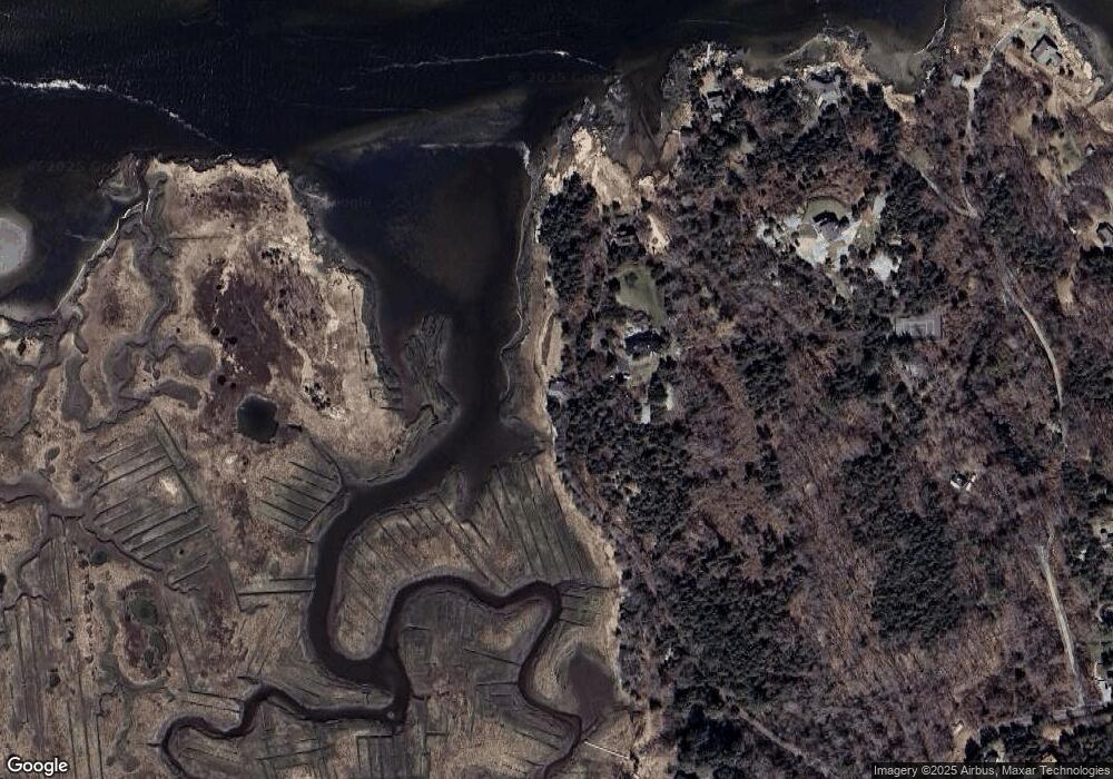
Map
Nearby Homes
- 30 Atlantic St
- 188 Atlantic St
- 11 Overlook Ave
- 226 Atlantic St
- 587 Essex Ave
- 139 Eastern Ave
- 368 Essex Ave
- 49 Thurston Point Rd
- 109 Riverview Rd
- 6 River Rd
- 5 Samoset Rd Unit A
- 227 Essex Ave
- 12 Woodward Ave
- 162 Main St
- 672 Washington St
- 53 Southern Ave
- 63 Southern Ave
- 90 Southern Ave Unit 90
- 145 Essex Ave Unit 610
- 1 Main St