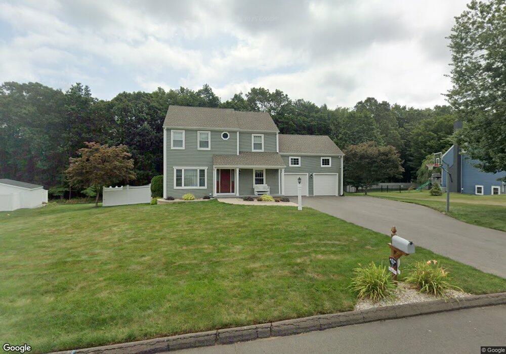
10 Trailside Dr Wallingford, CT 06492
Estimated Value: $647,000 - $755,000
3
Beds
3
Baths
2,056
Sq Ft
$335/Sq Ft
Est. Value
About This Home
This home is located at 10 Trailside Dr, Wallingford, CT 06492 and is currently estimated at $687,762, approximately $334 per square foot. 10 Trailside Dr is a home located in New Haven County with nearby schools including Highland Elementary School, Mary G. Fritz Elementary School, and James H. Moran Middle School.
Ownership History
Date
Name
Owned For
Owner Type
Purchase Details
Closed on
Jun 23, 2000
Sold by
Alexander Niki and Urquizu Robert T
Bought by
Melillo Michele L and Dellipoalli Thomas A
Current Estimated Value
Purchase Details
Closed on
Jan 31, 1994
Sold by
Ravenswood Dev Corp
Bought by
Urquizo Robert T and Alexander Niki
Create a Home Valuation Report for This Property
The Home Valuation Report is an in-depth analysis detailing your home's value as well as a comparison with similar homes in the area
Home Values in the Area
Average Home Value in this Area
Purchase History
| Date | Buyer | Sale Price | Title Company |
|---|---|---|---|
| Melillo Michele L | $256,900 | -- | |
| Melillo Michele L | $256,900 | -- | |
| Urquizo Robert T | $182,900 | -- | |
| Urquizo Robert T | $182,900 | -- |
Source: Public Records
Mortgage History
| Date | Status | Borrower | Loan Amount |
|---|---|---|---|
| Open | Urquizo Robert T | $170,300 | |
| Closed | Urquizo Robert T | $179,900 | |
| Closed | Urquizo Robert T | $204,500 |
Source: Public Records
Tax History
| Year | Tax Paid | Tax Assessment Tax Assessment Total Assessment is a certain percentage of the fair market value that is determined by local assessors to be the total taxable value of land and additions on the property. | Land | Improvement |
|---|---|---|---|---|
| 2025 | $9,158 | $379,700 | $117,200 | $262,500 |
| 2024 | $8,198 | $267,400 | $97,700 | $169,700 |
| 2023 | $7,825 | $266,700 | $97,700 | $169,000 |
| 2022 | $7,745 | $266,700 | $97,700 | $169,000 |
| 2021 | $7,606 | $266,700 | $97,700 | $169,000 |
| 2020 | $7,154 | $245,100 | $96,500 | $148,600 |
| 2019 | $7,154 | $245,100 | $96,500 | $148,600 |
| 2018 | $7,020 | $245,100 | $96,500 | $148,600 |
| 2017 | $6,998 | $245,100 | $96,500 | $148,600 |
| 2016 | $6,836 | $245,100 | $96,500 | $148,600 |
| 2015 | $6,716 | $244,500 | $96,500 | $148,000 |
| 2014 | $6,575 | $244,500 | $96,500 | $148,000 |
Source: Public Records
Map
Nearby Homes
- 4 Martin Trail
- 1095 Durham Rd
- 101 Grieb Rd
- 58 Grieb Rd
- 19 Perkins Dr
- 2 Twin Pines Dr
- 1 Dean Dr
- 39 Farm Hill Rd
- 65 Brooklawn Dr
- 570 N Main St
- 46 Walnut Ln
- 71 Cedar Ln
- 134 E Main St
- 46 Cliffside Dr
- 774 Murdock Ave
- 50 Carr St
- 147 Constitution St
- 924 E Center St
- 8 Whispering Pines Dr
- 70 Putter Dr Unit 211
Your Personal Tour Guide
Ask me questions while you tour the home.