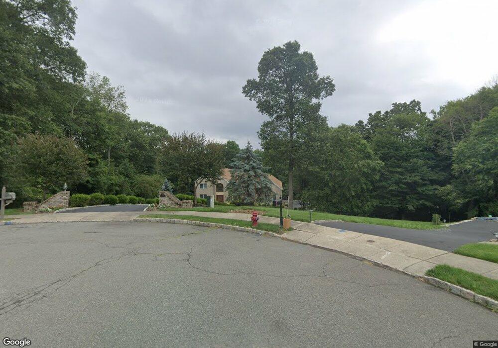
10 Tranquility Place Randolph, NJ 07869
Estimated Value: $1,181,000 - $1,261,643
--
Bed
--
Bath
3,764
Sq Ft
$325/Sq Ft
Est. Value
About This Home
This home is located at 10 Tranquility Place, Randolph, NJ 07869 and is currently estimated at $1,224,661, approximately $325 per square foot. 10 Tranquility Place is a home located in Morris County with nearby schools including Randolph High School, Randolph Middle School, and Apple Montessori Schools and Camps - Randolph.
Ownership History
Date
Name
Owned For
Owner Type
Purchase Details
Closed on
Feb 8, 2019
Sold by
Lamancuso John and Lamancuso Janet E
Bought by
Lamancuso Janet E
Current Estimated Value
Purchase Details
Closed on
Oct 16, 2000
Sold by
Falcone Louis J and Koutsoubos George
Bought by
Lamancuso John and Lamancuso Janet E
Home Financials for this Owner
Home Financials are based on the most recent Mortgage that was taken out on this home.
Original Mortgage
$475,000
Interest Rate
6.75%
Purchase Details
Closed on
Feb 5, 1999
Sold by
Shongum Developers Llc
Bought by
Falcone Louis J and Koutsoubos George
Home Financials for this Owner
Home Financials are based on the most recent Mortgage that was taken out on this home.
Original Mortgage
$422,800
Interest Rate
6.78%
Create a Home Valuation Report for This Property
The Home Valuation Report is an in-depth analysis detailing your home's value as well as a comparison with similar homes in the area
Home Values in the Area
Average Home Value in this Area
Purchase History
| Date | Buyer | Sale Price | Title Company |
|---|---|---|---|
| Lamancuso Janet E | $360,344 | None Available | |
| Lamancuso John | $775,000 | -- | |
| Falcone Louis J | $528,500 | -- |
Source: Public Records
Mortgage History
| Date | Status | Borrower | Loan Amount |
|---|---|---|---|
| Previous Owner | Lamancuso John | $475,000 | |
| Previous Owner | Falcone Louis J | $422,800 |
Source: Public Records
Tax History Compared to Growth
Tax History
| Year | Tax Paid | Tax Assessment Tax Assessment Total Assessment is a certain percentage of the fair market value that is determined by local assessors to be the total taxable value of land and additions on the property. | Land | Improvement |
|---|---|---|---|---|
| 2025 | $22,812 | $805,800 | $278,400 | $527,400 |
| 2024 | $22,240 | $805,800 | $278,400 | $527,400 |
| 2023 | $22,240 | $805,800 | $278,400 | $527,400 |
| 2022 | $21,370 | $805,800 | $278,400 | $527,400 |
| 2021 | $21,370 | $805,800 | $278,400 | $527,400 |
| 2020 | $21,152 | $805,800 | $278,400 | $527,400 |
| 2019 | $20,911 | $805,800 | $278,400 | $527,400 |
| 2018 | $20,645 | $805,800 | $278,400 | $527,400 |
| 2017 | $20,387 | $805,800 | $278,400 | $527,400 |
| 2016 | $19,753 | $539,700 | $163,400 | $376,300 |
| 2015 | $19,516 | $539,700 | $163,400 | $376,300 |
| 2014 | $19,213 | $539,700 | $163,400 | $376,300 |
Source: Public Records
Map
Nearby Homes
- 41 Shongum Rd
- 44 Shongum Rd
- 4 Waterview Ln
- 18 Rosewood Ln
- 82 Mountainside Dr
- 6 Knoll Top Ct
- 10 Robin Dr
- 29 Piersons Hill Rd
- 10 Campo Rd
- 9 Mary Farm Rd
- 20 Longhill Rd
- 13 Holly Dr
- 66 Fords Rd
- 6 Quarry Ct
- 21 Puddingstone Rd
- 41 Beverly St
- 86 New Jersey 10
- 215 Washington Ave
- 10 Cambridge Ct
- 76 Henning Terrace