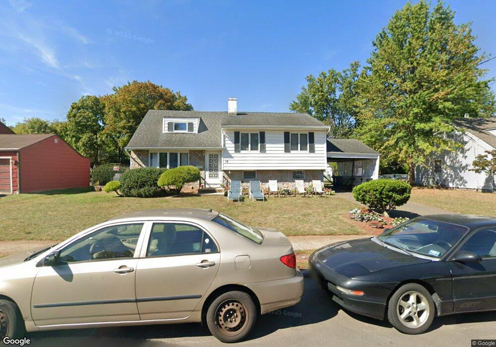
10 Ulysses Rd Somerset, NJ 08873
Estimated Value: $583,973 - $620,000
--
Bed
--
Bath
1,768
Sq Ft
$341/Sq Ft
Est. Value
About This Home
This home is located at 10 Ulysses Rd, Somerset, NJ 08873 and is currently estimated at $603,493, approximately $341 per square foot. 10 Ulysses Rd is a home located in Somerset County with nearby schools including Franklin High School, St. Frances Cabrini School, and Green Brook Academy.
Ownership History
Date
Name
Owned For
Owner Type
Purchase Details
Closed on
Jul 28, 2010
Sold by
Lahutsky Michael and Lahutsky Mary K
Bought by
Lahutsky Mary K
Current Estimated Value
Home Financials for this Owner
Home Financials are based on the most recent Mortgage that was taken out on this home.
Original Mortgage
$204,000
Outstanding Balance
$135,476
Interest Rate
4.63%
Mortgage Type
New Conventional
Estimated Equity
$468,017
Purchase Details
Closed on
Oct 26, 1990
Sold by
Nitka Daniel H and Nitka Linda A
Bought by
Lahutsky Michael and Lahutsky Mary K
Create a Home Valuation Report for This Property
The Home Valuation Report is an in-depth analysis detailing your home's value as well as a comparison with similar homes in the area
Home Values in the Area
Average Home Value in this Area
Purchase History
| Date | Buyer | Sale Price | Title Company |
|---|---|---|---|
| Lahutsky Mary K | -- | Fidelity Natl Title Ins Co | |
| Lahutsky Michael | $156,000 | -- |
Source: Public Records
Mortgage History
| Date | Status | Borrower | Loan Amount |
|---|---|---|---|
| Open | Lahutsky Mary K | $204,000 |
Source: Public Records
Tax History Compared to Growth
Tax History
| Year | Tax Paid | Tax Assessment Tax Assessment Total Assessment is a certain percentage of the fair market value that is determined by local assessors to be the total taxable value of land and additions on the property. | Land | Improvement |
|---|---|---|---|---|
| 2025 | $8,656 | $547,000 | $322,600 | $224,400 |
| 2024 | $8,656 | $476,100 | $322,600 | $153,500 |
| 2023 | $8,589 | $444,800 | $291,300 | $153,500 |
| 2022 | $8,250 | $404,800 | $251,300 | $153,500 |
| 2021 | $7,527 | $339,800 | $186,300 | $153,500 |
| 2020 | $7,693 | $339,800 | $186,300 | $153,500 |
| 2019 | $7,477 | $324,800 | $171,300 | $153,500 |
| 2018 | $7,206 | $309,800 | $156,300 | $153,500 |
| 2017 | $6,764 | $289,800 | $136,300 | $153,500 |
| 2016 | $6,555 | $278,800 | $125,300 | $153,500 |
| 2015 | $6,393 | $273,800 | $120,300 | $153,500 |
| 2014 | $6,188 | $268,800 | $115,300 | $153,500 |
Source: Public Records
Map
Nearby Homes
- 285 Maple Ave
- 71 Remsen St
- 3 Edgewood Terrace
- 8 Von Steuben Ln
- 535 Madison Ave
- 10 Maplehurst Ln
- 123 Elizabeth St
- 231 Beck Ave
- 15 Maplehurst Ln
- 20 Patriots Path
- 165 Prospect St
- 206 Bathgate Ave
- 63 Crestwood St
- 208 Sanders Ave
- 68 Owen Ct
- 112 East St
- 2 Drake St
- 1303 Fir Ct
- 205 Driscoll Ct
- 34 van Keuren Ave Unit 38