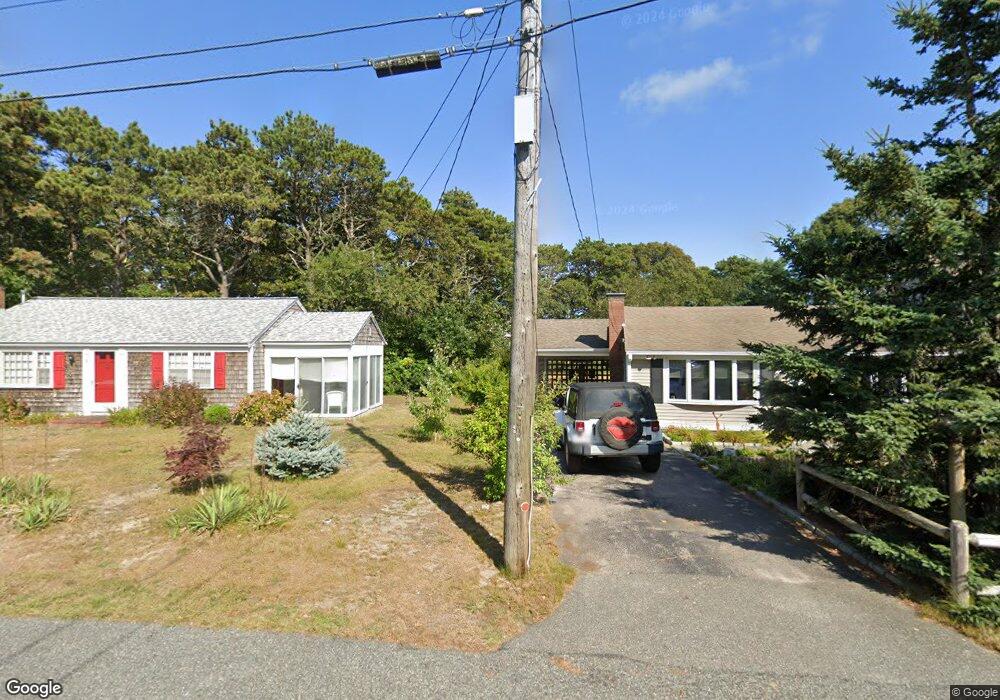
10 Uncle Zekes Rd West Dennis, MA 2670
West Dennis NeighborhoodEstimated Value: $765,000 - $2,266,813
3
Beds
5
Baths
3,152
Sq Ft
$577/Sq Ft
Est. Value
About This Home
This home is located at 10 Uncle Zekes Rd, West Dennis, MA 2670 and is currently estimated at $1,818,203, approximately $576 per square foot. 10 Uncle Zekes Rd is a home located in Barnstable County with nearby schools including Dennis-Yarmouth Regional High School and St. Pius X. School.
Ownership History
Date
Name
Owned For
Owner Type
Purchase Details
Closed on
Oct 22, 2024
Sold by
Stewart Carolyn K
Bought by
Carolyn K Stewart Lt and Stewart
Current Estimated Value
Purchase Details
Closed on
Jun 14, 2004
Sold by
Stewart Carolyn and Douglas Stewart R
Bought by
Stewart Carolyn K
Purchase Details
Closed on
May 19, 1999
Sold by
A & Jf Krivak Rt
Bought by
Stewart R Douglas and Stewart Carolyn
Home Financials for this Owner
Home Financials are based on the most recent Mortgage that was taken out on this home.
Original Mortgage
$150,000
Interest Rate
6.92%
Create a Home Valuation Report for This Property
The Home Valuation Report is an in-depth analysis detailing your home's value as well as a comparison with similar homes in the area
Home Values in the Area
Average Home Value in this Area
Purchase History
| Date | Buyer | Sale Price | Title Company |
|---|---|---|---|
| Carolyn K Stewart Lt | -- | None Available | |
| Carolyn K Stewart Lt | -- | None Available | |
| Carolyn K Stewart Lt | -- | None Available | |
| Stewart Carolyn K | -- | -- | |
| Stewart R Douglas | $150,000 | -- | |
| Stewart R Douglas R | $150,000 | -- |
Source: Public Records
Mortgage History
| Date | Status | Borrower | Loan Amount |
|---|---|---|---|
| Previous Owner | Stewart R Douglas R | $150,000 |
Source: Public Records
Tax History Compared to Growth
Tax History
| Year | Tax Paid | Tax Assessment Tax Assessment Total Assessment is a certain percentage of the fair market value that is determined by local assessors to be the total taxable value of land and additions on the property. | Land | Improvement |
|---|---|---|---|---|
| 2025 | $8,035 | $1,855,700 | $400,400 | $1,455,300 |
| 2024 | $4,586 | $1,044,700 | $385,000 | $659,700 |
| 2023 | $4,447 | $952,300 | $350,000 | $602,300 |
| 2022 | $3,652 | $652,200 | $315,300 | $336,900 |
| 2021 | $0 | $590,200 | $309,100 | $281,100 |
| 2020 | $3,502 | $574,100 | $309,100 | $265,000 |
| 2019 | $0 | $583,300 | $336,700 | $246,600 |
| 2018 | $3,541 | $558,500 | $320,600 | $237,900 |
| 2017 | $3,119 | $507,200 | $269,300 | $237,900 |
| 2016 | $3,179 | $486,900 | $282,100 | $204,800 |
| 2015 | $3,372 | $526,800 | $282,100 | $244,700 |
| 2014 | $3,313 | $521,700 | $282,100 | $239,600 |
Source: Public Records
Map
Nearby Homes
- 61 Trotters Ln
- 80 Michaels Ave
- 15 Woodside Park Rd
- 37 Ocean Dr Unit 2
- 6 Baker Way
- 12 Spoonbill Rd
- 64 Beaten Rd
- 19 Standish Way
- 112 Old Wharf Rd Unit E4
- 112 Old Wharf Rd Unit E1
- 31 Easy St
- 120 Old Wharf Rd Unit 11
- 71 Main St
- 467 Main St
- 154 Old Wharf Rd Unit 26
- 154 Old Wharf Rd Unit 14
- 4 Coffey Ln
- 26 Center St
- 178 School St
- 401 Main St Unit 201
- 20 Fletcher Ln
- 16 Fletcher Ln
- 17 Fletcher Ln
- 20 Uncle Zekes Rd
- 11 Fletcher Ln
- 20 Uncle Zekes Ln
- 10 Fletcher Ln
- 26 Elliot Dr
- 20 Elliot Dr
- 28 Elliot Dr
- 28 Elliott
- 6 Fletcher Ln
- 5 Fletcher Ln
- 23 Love Etta Ln
- 32 Elliot Dr
- 16 Elliot Dr
- 96 Swan River Rd
- 96 Swan River Rd Unit a
- 96 Swan River Rd Unit 96
- 96 Swan River Rd Unit 2