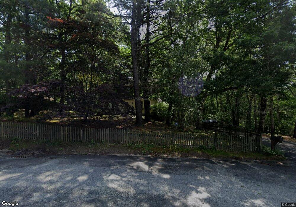
10 Unity Cir Plymouth, MA 02360
Estimated Value: $686,000 - $893,000
3
Beds
3
Baths
1,850
Sq Ft
$420/Sq Ft
Est. Value
About This Home
This home is located at 10 Unity Cir, Plymouth, MA 02360 and is currently estimated at $777,054, approximately $420 per square foot. 10 Unity Cir is a home located in Plymouth County with nearby schools including South Elementary School, Plymouth South Middle School, and Plymouth South High School.
Ownership History
Date
Name
Owned For
Owner Type
Purchase Details
Closed on
Jun 25, 1998
Sold by
Martin Robert J
Bought by
Mcloud Scott and Ferrigno Nancy
Current Estimated Value
Purchase Details
Closed on
Jun 13, 1996
Sold by
Roderick David and Roderick Dorothy
Bought by
Martin Robert J
Create a Home Valuation Report for This Property
The Home Valuation Report is an in-depth analysis detailing your home's value as well as a comparison with similar homes in the area
Home Values in the Area
Average Home Value in this Area
Purchase History
| Date | Buyer | Sale Price | Title Company |
|---|---|---|---|
| Mcloud Scott | $165,000 | -- | |
| Martin Robert J | $154,500 | -- |
Source: Public Records
Mortgage History
| Date | Status | Borrower | Loan Amount |
|---|---|---|---|
| Open | Martin Robert J | $10,000 | |
| Open | Martin Robert J | $160,000 |
Source: Public Records
Tax History Compared to Growth
Tax History
| Year | Tax Paid | Tax Assessment Tax Assessment Total Assessment is a certain percentage of the fair market value that is determined by local assessors to be the total taxable value of land and additions on the property. | Land | Improvement |
|---|---|---|---|---|
| 2025 | $8,049 | $634,300 | $286,000 | $348,300 |
| 2024 | $7,488 | $581,800 | $262,000 | $319,800 |
| 2023 | $7,247 | $528,600 | $228,400 | $300,200 |
| 2022 | $6,667 | $432,100 | $209,800 | $222,300 |
| 2021 | $6,470 | $400,400 | $209,800 | $190,600 |
| 2020 | $6,417 | $392,500 | $205,800 | $186,700 |
| 2019 | $6,078 | $367,500 | $180,800 | $186,700 |
| 2018 | $6,018 | $365,600 | $180,800 | $184,800 |
| 2017 | $5,649 | $340,700 | $173,800 | $166,900 |
| 2016 | $5,374 | $330,300 | $161,800 | $168,500 |
| 2015 | $5,159 | $332,000 | $161,800 | $170,200 |
| 2014 | $4,884 | $322,800 | $161,800 | $161,000 |
Source: Public Records
Map
Nearby Homes
- 14 Anchor Dr
- 48 Haven Rd
- 11 Oar And Line Rd
- 54 Bowsprit Ln
- 7 Broadleaf Unit 3
- Hager Plan at Broadleaf - The Pinehills
- Davis Plan at Broadleaf - The Pinehills
- David Plan at Broadleaf - The Pinehills
- 11 Station Dr Unit 33
- 11 Cobblestone
- 12 Birdsong
- 11 Pine Cobble
- 7 Bridge Gate
- 68 Bentgrass Mist Unit 68
- 55 Bentgrass Mist Unit 55
- 26 Portico Way Unit 26
- 40 Great Kame
- 3 Heartwood
- 48 Great Kame
- 18 Great Kame
- 6 Unity Cir
- 6 Unity Cir Unit Down
- 6 Unity Cir Unit LOWER
- 14 Unity Cir
- 9 Unity Cir
- 20 Unity Cir
- 2 Unity Cir
- 537 Long Pond Rd
- 1 Unity Cir
- 18 Tower Hill Farm Rd
- 539 Long Pond Rd
- 4 Anchor Dr
- 2 Anchor Dr
- 6 Anchor Dr
- 525 Long Pond Rd
- 18 Independence St
- 545 Long Pond Rd
- 12 Independence St
- 6 Independence St
- 8 Independence St