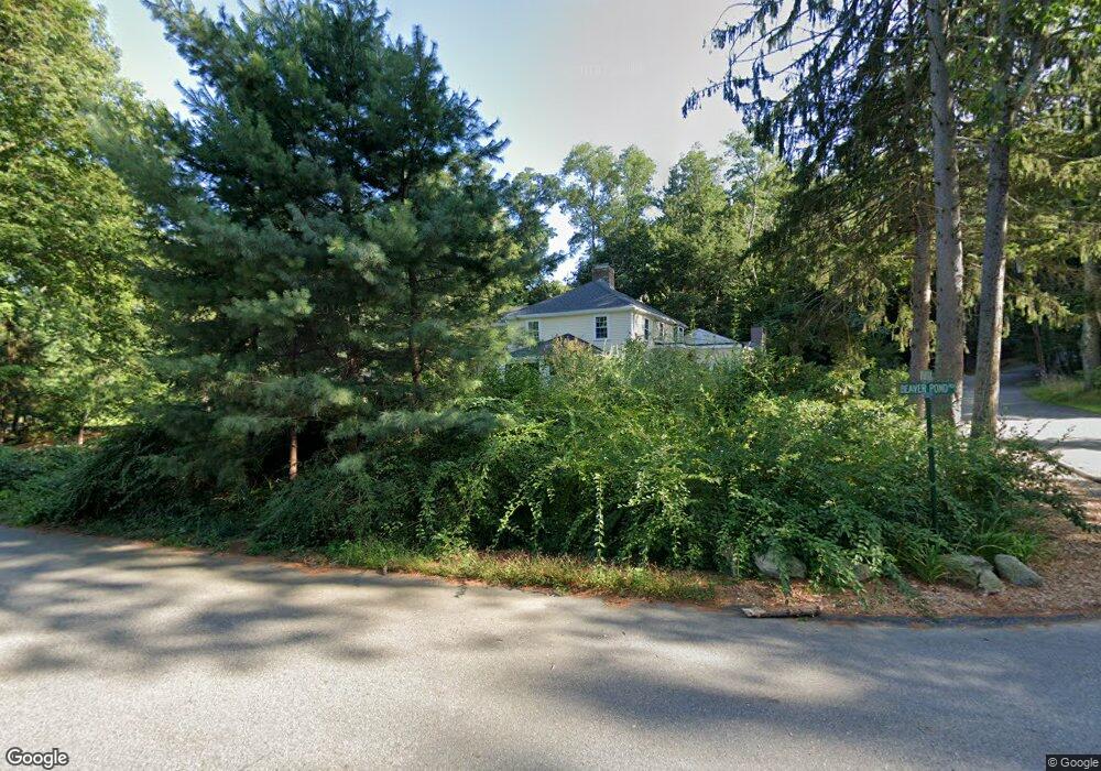
10 Upland Field Rd Lincoln, MA 01773
Estimated Value: $1,209,000 - $1,815,000
5
Beds
4
Baths
3,297
Sq Ft
$458/Sq Ft
Est. Value
About This Home
This home is located at 10 Upland Field Rd, Lincoln, MA 01773 and is currently estimated at $1,510,197, approximately $458 per square foot. 10 Upland Field Rd is a home located in Middlesex County with nearby schools including Lincoln-Sudbury Regional High School, Our Lady's Academy, and Tremont School.
Ownership History
Date
Name
Owned For
Owner Type
Purchase Details
Closed on
May 3, 2021
Sold by
Wang Thomas C and Wang Jacqueline S
Bought by
T & J Ft
Current Estimated Value
Purchase Details
Closed on
Aug 16, 1984
Bought by
Wang Thomas C and Wang Jacqueline S
Create a Home Valuation Report for This Property
The Home Valuation Report is an in-depth analysis detailing your home's value as well as a comparison with similar homes in the area
Home Values in the Area
Average Home Value in this Area
Purchase History
| Date | Buyer | Sale Price | Title Company |
|---|---|---|---|
| T & J Ft | -- | None Available | |
| Wang Thomas C | $315,000 | -- |
Source: Public Records
Mortgage History
| Date | Status | Borrower | Loan Amount |
|---|---|---|---|
| Previous Owner | Wang Thomas C | $338,400 | |
| Previous Owner | Wang Thomas C | $315,000 | |
| Previous Owner | Wang Thomas C | $315,000 |
Source: Public Records
Tax History
| Year | Tax Paid | Tax Assessment Tax Assessment Total Assessment is a certain percentage of the fair market value that is determined by local assessors to be the total taxable value of land and additions on the property. | Land | Improvement |
|---|---|---|---|---|
| 2025 | $159 | $1,243,700 | $816,900 | $426,800 |
| 2024 | $15,762 | $1,222,800 | $800,800 | $422,000 |
| 2023 | $14,120 | $1,014,400 | $649,800 | $364,600 |
| 2022 | $13,861 | $928,400 | $601,300 | $327,100 |
| 2021 | $13,495 | $869,500 | $562,000 | $307,500 |
| 2020 | $13,600 | $885,400 | $583,000 | $302,400 |
| 2019 | $12,170 | $867,400 | $567,600 | $299,800 |
| 2018 | $11,797 | $867,400 | $567,600 | $299,800 |
| 2017 | $11,768 | $859,000 | $562,000 | $297,000 |
| 2016 | $11,756 | $840,300 | $545,800 | $294,500 |
Source: Public Records
Map
Nearby Homes
- 22 Lincoln Rd
- 8 Silver Hill Rd
- 23 Bedford Rd
- 44 Baker Bridge Rd
- 130 Tower Rd
- 45 Winter St
- 89 Lexington Rd
- 9 Garland Rd
- 6 Clifford Ln
- 77 Old County Rd
- 69 Page Rd
- 16 Old Cambridge Turnpike
- 84 Davison Dr
- 192 Concord Rd
- 46 Blackburnian Rd
- 416 Conant Rd
- 10 Reiling Pond Rd
- 93 Old Sudbury Rd
- 15 Myles Standish Rd
- 646 Cambridge Turnpike
- 9 Upland Field Rd
- 8 Upland Field Rd
- 10 Beaver Pond Rd
- 7 Upland Field Rd
- 14 Beaver Pond Rd
- 15 Beaver Pond Rd
- 2 Beaver Pond Rd
- 18 Beaver Pond Rd
- 38 Lincoln Rd
- 32 Lincoln Rd
- 28 Lincoln Rd
- 36 Lincoln Rd
- 23 Beaver Pond Rd
- 4 Tower Rd
- 10 Tower Rd
- 26 Lincoln Rd
- 24 Beaver Pond Rd
- 37 Lincoln Rd
- 29 Lincoln Rd
- 20 Beaver Pond Rd
Your Personal Tour Guide
Ask me questions while you tour the home.