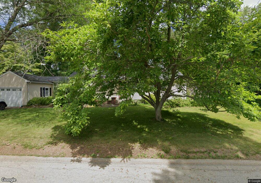
10 Upland St Auburn, MA 01501
Pakachoag NeighborhoodEstimated Value: $448,000 - $526,000
3
Beds
2
Baths
1,287
Sq Ft
$374/Sq Ft
Est. Value
About This Home
This home is located at 10 Upland St, Auburn, MA 01501 and is currently estimated at $481,133, approximately $373 per square foot. 10 Upland St is a home located in Worcester County with nearby schools including Auburn Senior High School and Shrewsbury Montessori School - Auburn Campus.
Ownership History
Date
Name
Owned For
Owner Type
Purchase Details
Closed on
Jul 3, 2013
Sold by
Christensen Barbara E and Bylund Joyce
Bought by
Bylund Joyce
Current Estimated Value
Purchase Details
Closed on
Feb 4, 2011
Sold by
Christensen Barbara E
Bought by
Christensen Barbara E and Christensen Barbara E
Purchase Details
Closed on
Apr 29, 1983
Bought by
Bylund Joyce
Create a Home Valuation Report for This Property
The Home Valuation Report is an in-depth analysis detailing your home's value as well as a comparison with similar homes in the area
Home Values in the Area
Average Home Value in this Area
Purchase History
| Date | Buyer | Sale Price | Title Company |
|---|---|---|---|
| Bylund Joyce | -- | -- | |
| Christensen Barbara E | -- | -- | |
| Bylund Joyce | -- | -- |
Source: Public Records
Tax History Compared to Growth
Tax History
| Year | Tax Paid | Tax Assessment Tax Assessment Total Assessment is a certain percentage of the fair market value that is determined by local assessors to be the total taxable value of land and additions on the property. | Land | Improvement |
|---|---|---|---|---|
| 2025 | $60 | $420,400 | $119,000 | $301,400 |
| 2024 | $5,957 | $399,000 | $114,600 | $284,400 |
| 2023 | $5,668 | $356,900 | $104,200 | $252,700 |
| 2022 | $5,270 | $313,300 | $104,200 | $209,100 |
| 2021 | $2,330 | $278,700 | $92,000 | $186,700 |
| 2020 | $7,322 | $278,700 | $92,000 | $186,700 |
| 2019 | $3,793 | $257,700 | $91,200 | $166,500 |
| 2018 | $88 | $245,100 | $85,300 | $159,800 |
| 2017 | $4,348 | $237,100 | $77,300 | $159,800 |
| 2016 | $4,090 | $226,100 | $79,700 | $146,400 |
| 2015 | $3,766 | $218,200 | $79,700 | $138,500 |
| 2014 | $3,460 | $200,100 | $75,800 | $124,300 |
Source: Public Records
Map
Nearby Homes
- 204-212 Hampton St
- 61 Elmwood St
- 22 Lesley Ave
- 37 Elmwood St
- 6 Newton St
- 2 Breezy Bend
- 3 Lower Windbrook Dr
- 30 Davenport St
- 72 Sophia Dr
- 47 Washington St Unit 26
- 55 Tennyson St
- 29 Steele St
- 2 Mystic St
- 10 Steele St
- 326 Pakachoag St
- 557 SW Cutoff Unit 107
- 557 SW Cutoff Unit 17
- 557 SW Cutoff Unit 79
- 557 SW Cutoff Unit 35
- 17 Thenius St
- 8 Upland St
- 11 Upland St
- 9 Upland St
- 137 Pakachoag St
- 147 Pakachoag St
- 6 Upland St
- 149 Pakachoag St
- 3 Saybrook Way
- 7 Upland St
- 135 Pakachoag St
- 4 Upland St
- 151 Pakachoag St
- 5 Saybrook Way
- 4 Saybrook Way
- 133 Pakachoag St
- 148 Pakachoag St
- 153 Pakachoag St
- 150 Pakachoag St
- 7 Saybrook Way
- 6 Saybrook Way