10 Valentine Ln Westport Point, MA 02791
Westport Point NeighborhoodEstimated Value: $843,968 - $1,248,000
2
Beds
--
Bath
805
Sq Ft
$1,249/Sq Ft
Est. Value
About This Home
This home is located at 10 Valentine Ln, Westport Point, MA 02791 and is currently estimated at $1,005,656, approximately $1,249 per square foot. 10 Valentine Ln is a home with nearby schools including Alice A. Macomber Primary School, Westport Elementary School, and Westport Middle-High School.
Ownership History
Date
Name
Owned For
Owner Type
Purchase Details
Closed on
Apr 14, 2015
Sold by
Derenzo Suzanne B and Behrman Robert J
Bought by
10 Valentine Lane Rt
Current Estimated Value
Purchase Details
Closed on
Sep 19, 2014
Sold by
R J Behrman Ft
Bought by
Behrman 2Nd Robert J and Derenzo Suzanne B
Purchase Details
Closed on
Oct 1, 2010
Sold by
Behrman Joan B
Bought by
Joan B Behrman Ret
Create a Home Valuation Report for This Property
The Home Valuation Report is an in-depth analysis detailing your home's value as well as a comparison with similar homes in the area
Home Values in the Area
Average Home Value in this Area
Purchase History
| Date | Buyer | Sale Price | Title Company |
|---|---|---|---|
| 10 Valentine Lane Rt | -- | -- | |
| Behrman 2Nd Robert J | -- | -- | |
| Joan B Behrman Ret | -- | -- |
Source: Public Records
Tax History Compared to Growth
Tax History
| Year | Tax Paid | Tax Assessment Tax Assessment Total Assessment is a certain percentage of the fair market value that is determined by local assessors to be the total taxable value of land and additions on the property. | Land | Improvement |
|---|---|---|---|---|
| 2025 | $5,811 | $780,000 | $615,700 | $164,300 |
| 2024 | $5,607 | $725,300 | $570,500 | $154,800 |
| 2023 | $5,228 | $640,700 | $525,400 | $115,300 |
| 2022 | $4,756 | $560,800 | $477,600 | $83,200 |
| 2021 | $4,179 | $484,800 | $401,600 | $83,200 |
| 2020 | $3,952 | $468,800 | $385,600 | $83,200 |
| 2019 | $4,257 | $514,800 | $437,700 | $77,100 |
| 2018 | $3,896 | $476,900 | $407,700 | $69,200 |
| 2017 | $3,787 | $475,200 | $407,700 | $67,500 |
| 2016 | $5,337 | $674,700 | $607,200 | $67,500 |
| 2015 | -- | $607,900 | $551,000 | $56,900 |
Source: Public Records
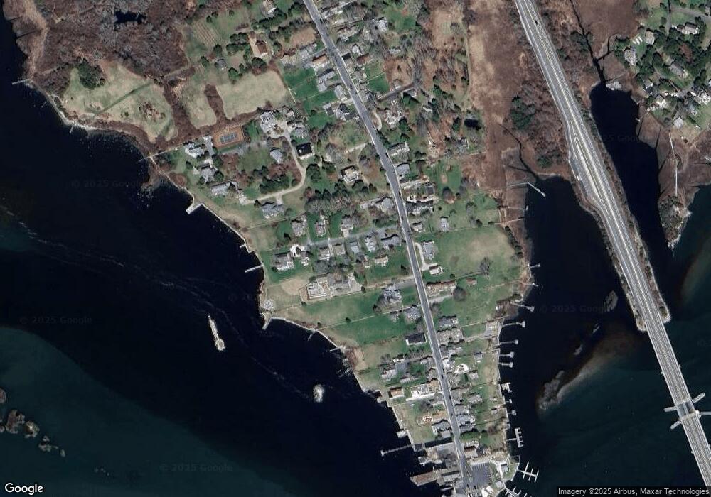
Map
Nearby Homes
- 1881 Main Rd
- 0 Reed Rd (Ss)
- 1749 Main Rd
- 1702J Drift Rd
- 1702 Drift Rd
- 1580 Main Rd
- 19 Seabury Ln
- 238-242 E Beach Rd
- 99 Sylvia Ln
- 1346 Main Rd Unit B
- 189 Brayton Point Rd
- 304 Brayton Point Rd
- 255 John Dyer Rd
- Lot 2 Horseneck Rd
- 245 John Dyer Rd
- 225 Hixbridge Rd
- 17 Quail Trail
- 920 Drift Rd
- 101 Adamsville Rd
- Lot 2E Horseneck Rd
- 6 Valentine Ln
- 14 Valentine Ln
- 11 Valentine Ln
- 2011 Main Rd
- 16 Valentine Ln
- 2009 Main Hwy
- 17 Valentine Ln
- 2015 Main Rd
- 2 Mellows Way
- 2001 Main Rd
- 2004 Main Rd
- 21 Valentine Ln
- 2019 Main Hwy
- 2006 Main Rd Unit Winter
- 2006 Main Rd
- 2002 Main Rd
- 24 Valentine Ln
- 2028 Main Rd
- 1991 Main Rd Unit WINTER '22
- 2010 Main Rd