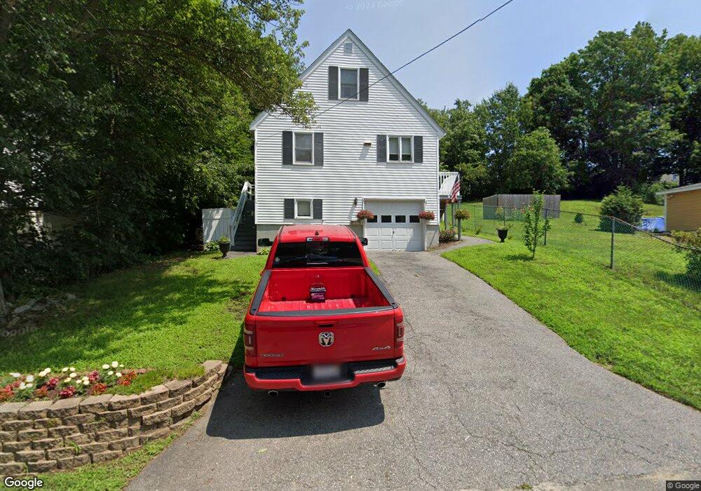
10 Verndale St Haverhill, MA 01835
Central Bradford NeighborhoodEstimated Value: $467,000 - $600,000
3
Beds
2
Baths
1,037
Sq Ft
$518/Sq Ft
Est. Value
About This Home
This home is located at 10 Verndale St, Haverhill, MA 01835 and is currently estimated at $537,424, approximately $518 per square foot. 10 Verndale St is a home located in Essex County with nearby schools including Greenleaf Academy, Bradford Elementary School, and Haverhill High School.
Ownership History
Date
Name
Owned For
Owner Type
Purchase Details
Closed on
Jun 14, 2010
Sold by
Quinlan Denise and Quinlan Fhlmc
Bought by
Fhlmc
Current Estimated Value
Purchase Details
Closed on
Oct 30, 1992
Sold by
Fed Natl Mtg Assoc
Bought by
Quinlan Thomas J and Quinlan Denise
Purchase Details
Closed on
Jun 18, 1992
Sold by
Morrow Cheryl J
Bought by
Boston 5C Sb
Create a Home Valuation Report for This Property
The Home Valuation Report is an in-depth analysis detailing your home's value as well as a comparison with similar homes in the area
Home Values in the Area
Average Home Value in this Area
Purchase History
| Date | Buyer | Sale Price | Title Company |
|---|---|---|---|
| Fhlmc | $148,175 | -- | |
| Quinlan Thomas J | $93,500 | -- | |
| Boston 5C Sb | $90,000 | -- |
Source: Public Records
Mortgage History
| Date | Status | Borrower | Loan Amount |
|---|---|---|---|
| Previous Owner | Boston 5C Sb | $73,000 | |
| Previous Owner | Boston 5C Sb | $103,500 |
Source: Public Records
Tax History Compared to Growth
Tax History
| Year | Tax Paid | Tax Assessment Tax Assessment Total Assessment is a certain percentage of the fair market value that is determined by local assessors to be the total taxable value of land and additions on the property. | Land | Improvement |
|---|---|---|---|---|
| 2025 | $4,512 | $421,300 | $166,900 | $254,400 |
| 2023 | $4,171 | $374,100 | $166,900 | $207,200 |
| 2022 | $4,036 | $317,300 | $151,600 | $165,700 |
| 2021 | $3,888 | $289,300 | $137,800 | $151,500 |
| 2020 | $3,872 | $284,700 | $133,200 | $151,500 |
| 2019 | $3,822 | $274,000 | $122,500 | $151,500 |
| 2018 | $3,679 | $258,000 | $116,400 | $141,600 |
| 2017 | $3,454 | $230,400 | $98,000 | $132,400 |
| 2016 | $3,494 | $227,500 | $98,000 | $129,500 |
| 2015 | $3,445 | $224,400 | $94,900 | $129,500 |
Source: Public Records
Map
Nearby Homes
- 496 S Main St
- 552 S Main St Unit 2
- 21 Twin Brooks Cir Unit U21
- 374 River St
- 15 Blossom St
- 219 River St
- 39 Ayer St
- 11 Villa St Unit 106
- 78 Lamoille Ave
- 455 Washington St
- 2 Marion St
- 1 Marion St
- 1 New Hampshire Ave
- 72 River St Unit 4
- 72 River St Unit 7
- 72 River St Unit 2
- 72 River St Unit 6
- 72 River St Unit 3
- 204 Wilson St Unit 204
- 80/88 River St
- 8 Verndale St
- 14 Verndale St
- 17 Germain Ave
- 19 Germain Ave
- 15 Germain Ave
- 16 Verndale St
- 21 Germain Ave
- 13 Germain Ave
- 9 Verndale St
- 11 Verndale St
- 7 Verndale St
- 13 Verndale St
- 18 Verndale St
- 4 Verndale St
- 5 Verndale St
- 15 Verndale St
- 11 Germain Ave
- 23 Germain Ave
- 23 Germain Ave Unit 2
- 23 Germain Ave Unit 1