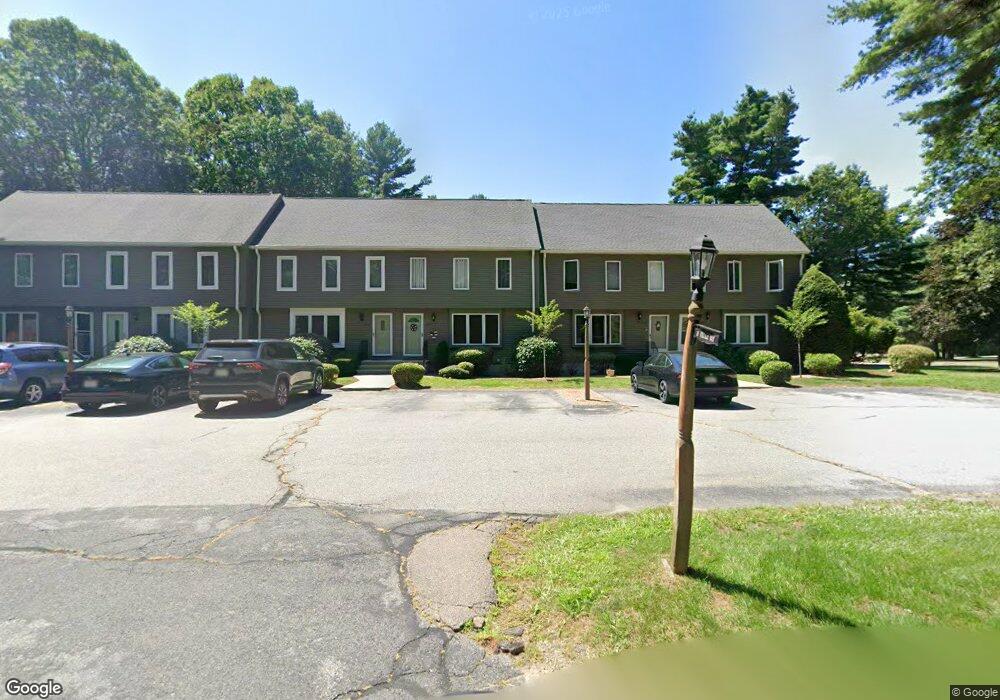
10 Village Way Unit B Norton, MA 02766
Estimated Value: $371,913 - $388,000
2
Beds
2
Baths
1,397
Sq Ft
$273/Sq Ft
Est. Value
About This Home
This home is located at 10 Village Way Unit B, Norton, MA 02766 and is currently estimated at $380,728, approximately $272 per square foot. 10 Village Way Unit B is a home located in Bristol County with nearby schools including J.C. Solmonese Elementary School, Henri A. Yelle Elementary School, and Norton Middle School.
Ownership History
Date
Name
Owned For
Owner Type
Purchase Details
Closed on
Feb 16, 2017
Sold by
Donaldson Katherine J and Vasialka Giselle A
Bought by
Dv Ret
Current Estimated Value
Purchase Details
Closed on
Jan 29, 2001
Sold by
Gray Stephanie L and Gray Robert J
Bought by
Donaldson Katherine J and Vasialka Giselle A
Home Financials for this Owner
Home Financials are based on the most recent Mortgage that was taken out on this home.
Original Mortgage
$101,500
Interest Rate
7.39%
Mortgage Type
Purchase Money Mortgage
Purchase Details
Closed on
Dec 1, 1997
Sold by
Gillis Maria and Carpenter Mria
Bought by
Gray Stephanie L and Gray Robert J
Home Financials for this Owner
Home Financials are based on the most recent Mortgage that was taken out on this home.
Original Mortgage
$99,450
Interest Rate
7.26%
Mortgage Type
Purchase Money Mortgage
Purchase Details
Closed on
Jan 4, 1995
Sold by
Robert G Nosky
Bought by
Colonial Natl Bk Usa
Purchase Details
Closed on
Nov 16, 1990
Sold by
Lkannigan Jeffrey P
Bought by
Nosky Robert
Create a Home Valuation Report for This Property
The Home Valuation Report is an in-depth analysis detailing your home's value as well as a comparison with similar homes in the area
Home Values in the Area
Average Home Value in this Area
Purchase History
| Date | Buyer | Sale Price | Title Company |
|---|---|---|---|
| Dv Ret | -- | -- | |
| Donaldson Katherine J | $145,000 | -- | |
| Gray Stephanie L | $104,000 | -- | |
| Colonial Natl Bk Usa | $23,114 | -- | |
| Nosky Robert | $121,150 | -- |
Source: Public Records
Mortgage History
| Date | Status | Borrower | Loan Amount |
|---|---|---|---|
| Previous Owner | Nosky Robert | $101,500 | |
| Previous Owner | Nosky Robert | $99,450 | |
| Previous Owner | Nosky Robert | $15,000 | |
| Previous Owner | Nosky Robert | $37,700 |
Source: Public Records
Tax History Compared to Growth
Tax History
| Year | Tax Paid | Tax Assessment Tax Assessment Total Assessment is a certain percentage of the fair market value that is determined by local assessors to be the total taxable value of land and additions on the property. | Land | Improvement |
|---|---|---|---|---|
| 2025 | $3,936 | $303,500 | $0 | $303,500 |
| 2024 | $3,860 | $298,100 | $0 | $298,100 |
| 2023 | $3,463 | $266,600 | $0 | $266,600 |
| 2022 | $3,371 | $236,400 | $0 | $236,400 |
| 2021 | $3,308 | $221,600 | $0 | $221,600 |
| 2020 | $3,218 | $217,400 | $0 | $217,400 |
| 2019 | $2,807 | $188,400 | $0 | $188,400 |
| 2018 | $2,761 | $182,100 | $0 | $182,100 |
| 2017 | $2,671 | $173,800 | $0 | $173,800 |
| 2016 | $2,662 | $170,500 | $0 | $170,500 |
| 2015 | $2,707 | $175,900 | $0 | $175,900 |
| 2014 | $2,656 | $172,800 | $0 | $172,800 |
Source: Public Records
Map
Nearby Homes
- 4 Village Way Unit F
- 19 Precourt Ln
- 933 Pleasant St
- 14 Country Club Way
- 180 Pike Ave
- 9 Larson Farm Dr
- 16 Park Ln
- 53 Sturdy St
- 293 Pike Ave
- 55 Sturdy St
- 19 Cherry Tree Ln
- 136 Lindsey St
- 0 Sunflower Dr
- 451R Gilbert St
- 37 Oakleaf Dr
- 64 Ridgehill Rd
- 108 S Worcester St
- 366 & 0 Pike Ave
- 2 Oak St Unit 2D
- 2 Oak St Unit 2A
- 10 Village Way Unit 3
- 10 Village Way Unit F
- 10 Village Way Unit E
- 10 Village Way Unit D
- 10 Village Way Unit C
- 10 Village Way Unit A
- 10 Village Way Unit 10
- 10 Village Way Unit 10 E,10
- 10 Village Way Unit 10 C
- 10 A Village Way Unit 10A
- 12 Village Way Unit E
- 12 Village Way Unit D
- 12 Village Way Unit C
- 12 Village Way Unit B
- 12 Village Way Unit A
- 12 Village Way Unit A-17
- 12 Village Way Unit 12c,12
- 8 Village Way Unit F
- 8 Village Way Unit E
- 8 Village Way Unit D