10 Vine Brook Way Woburn, MA 01801
Cummingsville NeighborhoodEstimated Value: $879,000 - $1,002,000
2
Beds
3
Baths
1,916
Sq Ft
$487/Sq Ft
Est. Value
About This Home
This home is located at 10 Vine Brook Way, Woburn, MA 01801 and is currently estimated at $932,540, approximately $486 per square foot. 10 Vine Brook Way is a home located in Middlesex County with nearby schools including Reeves Elementary School, Daniel L. Joyce Middle School, and Woburn High School.
Ownership History
Date
Name
Owned For
Owner Type
Purchase Details
Closed on
Jun 24, 2024
Sold by
Gilgun Dorothy E Est and Gilgun
Bought by
Armstrong Joseph H and Armstrong Marion A
Current Estimated Value
Purchase Details
Closed on
Sep 27, 2007
Sold by
Bain Adeline J
Bought by
Gilgun Dorothy E and Gilgun Frederick V
Purchase Details
Closed on
Nov 26, 2003
Sold by
Bain Adeline J and Bain Paul J
Bought by
Bain Adeline J
Create a Home Valuation Report for This Property
The Home Valuation Report is an in-depth analysis detailing your home's value as well as a comparison with similar homes in the area
Home Values in the Area
Average Home Value in this Area
Purchase History
| Date | Buyer | Sale Price | Title Company |
|---|---|---|---|
| Armstrong Joseph H | $940,000 | None Available | |
| Armstrong Joseph H | $940,000 | None Available | |
| Gilgun Dorothy E | $652,500 | -- | |
| Gilgun Dorothy E | $652,500 | -- | |
| Bain Adeline J | -- | -- | |
| Bain Adeline J | -- | -- |
Source: Public Records
Tax History Compared to Growth
Tax History
| Year | Tax Paid | Tax Assessment Tax Assessment Total Assessment is a certain percentage of the fair market value that is determined by local assessors to be the total taxable value of land and additions on the property. | Land | Improvement |
|---|---|---|---|---|
| 2025 | $6,636 | $777,100 | $0 | $777,100 |
| 2024 | $6,023 | $747,300 | $0 | $747,300 |
| 2023 | $7,013 | $806,100 | $0 | $806,100 |
| 2022 | $7,167 | $767,300 | $0 | $767,300 |
| 2021 | $6,946 | $744,500 | $0 | $744,500 |
| 2020 | $6,870 | $737,100 | $0 | $737,100 |
| 2019 | $6,559 | $690,400 | $0 | $690,400 |
| 2018 | $6,543 | $661,600 | $0 | $661,600 |
| 2017 | $6,112 | $614,900 | $0 | $614,900 |
| 2016 | $5,685 | $565,700 | $0 | $565,700 |
| 2015 | $5,813 | $571,600 | $0 | $571,600 |
| 2014 | $5,746 | $550,400 | $0 | $550,400 |
Source: Public Records
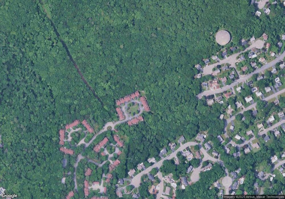
Map
Nearby Homes
- 14 Saw Mill Brook Way
- 15 Crescent Rd
- 2 Howard Ct
- 14 Liana St
- 49 Duren Ave
- 92 Muller Rd
- 162 North St
- 123 Cambridge Rd Unit 4
- 185 Lexington St
- 36 Cambridge Rd Unit 40
- 192 Lexington St
- 23 Thoreau Rd
- 19 Hammond Place Unit 19
- 23 Burroughs Rd
- 68 Hammond Place Unit 68
- 212 Cambridge Rd
- 7 Grace Rd
- 1 Maureen Rd
- 6 Maureen Rd
- 500 Lexington St Unit 6
- 17 Vine Brook Way
- 16 Vine Brook Way
- 15 Vine Brook Way
- 14 Vine Brook Way
- 13 Vine Brook Way
- 12 Vine Brook Way
- 11 Vine Brook Way
- 9 Vine Brook Way
- 8 Vine Brook Way
- 7 Vine Brook Way
- 6 Vine Brook Way
- 5 Vine Brook Way
- 4 Vine Brook Way
- 3 Vine Brook Way
- 2 Vine Brook Way
- 1 Vine Brook Way
- 17 Saw Mill Brook Way
- 16 Saw Mill Brook Way
- 15 Saw Mill Brook Way
- 13 Saw Mill Brook Way