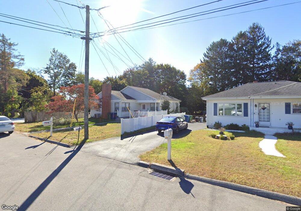
10 Vivian Ct Waterford, CT 06385
Estimated Value: $331,000 - $408,000
3
Beds
1
Bath
1,200
Sq Ft
$298/Sq Ft
Est. Value
About This Home
This home is located at 10 Vivian Ct, Waterford, CT 06385 and is currently estimated at $358,163, approximately $298 per square foot. 10 Vivian Ct is a home located in New London County with nearby schools including Clark Lane Middle School, Waterford High School, and New London High School Multi-Magnet Campus.
Ownership History
Date
Name
Owned For
Owner Type
Purchase Details
Closed on
Mar 25, 2014
Sold by
Mitchell Lisa M
Bought by
Mitchell John E
Current Estimated Value
Purchase Details
Closed on
Feb 28, 1997
Sold by
Damon Joan
Bought by
Mitchell John E and Mitchell Lisa M
Home Financials for this Owner
Home Financials are based on the most recent Mortgage that was taken out on this home.
Original Mortgage
$115,400
Interest Rate
7.78%
Mortgage Type
Purchase Money Mortgage
Create a Home Valuation Report for This Property
The Home Valuation Report is an in-depth analysis detailing your home's value as well as a comparison with similar homes in the area
Home Values in the Area
Average Home Value in this Area
Purchase History
| Date | Buyer | Sale Price | Title Company |
|---|---|---|---|
| Mitchell John E | -- | -- | |
| Mitchell John E | $116,000 | -- |
Source: Public Records
Mortgage History
| Date | Status | Borrower | Loan Amount |
|---|---|---|---|
| Previous Owner | Mitchell John E | $30,000 | |
| Previous Owner | Mitchell John E | $115,400 |
Source: Public Records
Tax History Compared to Growth
Tax History
| Year | Tax Paid | Tax Assessment Tax Assessment Total Assessment is a certain percentage of the fair market value that is determined by local assessors to be the total taxable value of land and additions on the property. | Land | Improvement |
|---|---|---|---|---|
| 2025 | $3,644 | $156,000 | $59,300 | $96,700 |
| 2024 | $3,479 | $156,000 | $59,300 | $96,700 |
| 2023 | $3,307 | $156,000 | $59,300 | $96,700 |
| 2022 | $3,327 | $120,720 | $43,830 | $76,890 |
| 2021 | $3,337 | $120,720 | $43,830 | $76,890 |
| 2020 | $3,364 | $120,720 | $43,830 | $76,890 |
| 2019 | $3,378 | $120,720 | $43,830 | $76,890 |
| 2018 | $3,310 | $120,720 | $43,830 | $76,890 |
| 2017 | $3,216 | $118,980 | $46,410 | $72,570 |
| 2016 | $3,186 | $118,980 | $46,410 | $72,570 |
| 2015 | $3,073 | $118,980 | $46,410 | $72,570 |
| 2014 | $3,073 | $118,980 | $46,410 | $72,570 |
Source: Public Records
Map
Nearby Homes
- 68 Clark Ln
- 213 Boston Post Rd
- 54 Rope Ferry Rd Unit C55
- 54 Rope Ferry Rd Unit D72
- 54 Rope Ferry Rd Unit C45
- 24 Pine St
- 35 Pine St
- 12 Pine St
- 5 Windy Ridge Place Unit 5
- 270 Boston Post Rd Unit 22
- 270 Boston Post Rd Unit TRLR 6
- 34 Ivy Hill Rd
- 7 Ivy Hill Rd
- 11 Ivy Hill Rd Unit 11
- 26 Ivy Hill Rd
- 2 Faye St
- 77 Colman St
- 18 W Pleasant St
- 27 Mullen Hill Rd
- 152 Blydenburg Ave