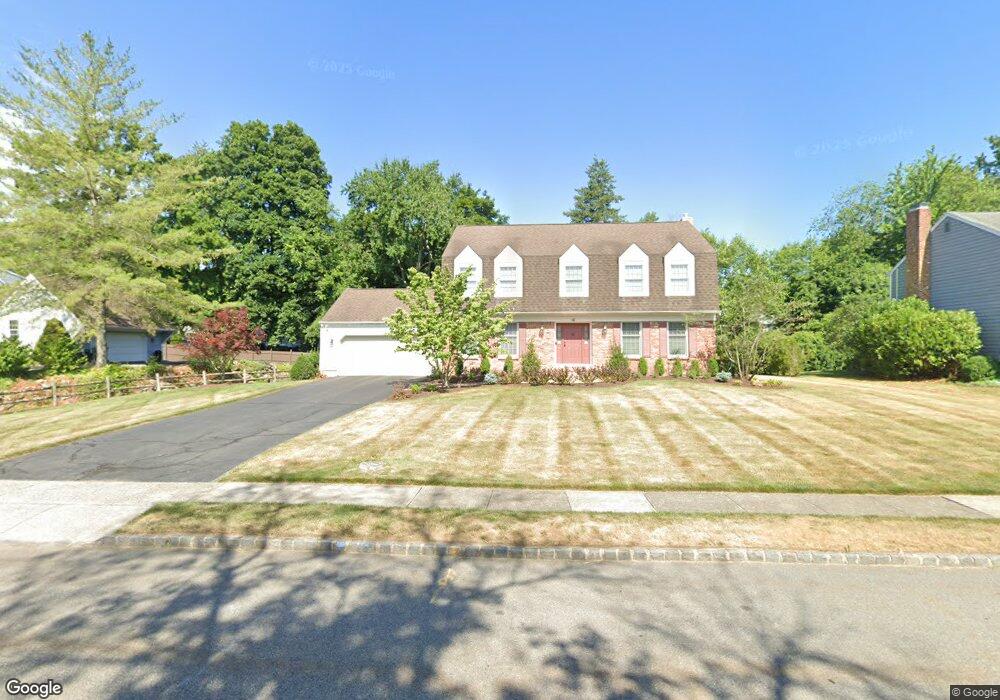
10 Vom Eigen Dr Morristown, NJ 07960
Estimated Value: $839,000 - $1,083,000
4
Beds
3
Baths
2,463
Sq Ft
$388/Sq Ft
Est. Value
About This Home
This home is located at 10 Vom Eigen Dr, Morristown, NJ 07960 and is currently estimated at $955,067, approximately $387 per square foot. 10 Vom Eigen Dr is a home located in Morris County with nearby schools including Hillcrest School, Thomas Jefferson School, and Alfred Vail School.
Ownership History
Date
Name
Owned For
Owner Type
Purchase Details
Closed on
Jul 16, 1996
Sold by
Thomas Tommy L and Thomas Carla L
Bought by
Caloia Thomas and Caloia Joann M
Current Estimated Value
Home Financials for this Owner
Home Financials are based on the most recent Mortgage that was taken out on this home.
Original Mortgage
$150,000
Outstanding Balance
$10,883
Interest Rate
8.28%
Estimated Equity
$944,184
Create a Home Valuation Report for This Property
The Home Valuation Report is an in-depth analysis detailing your home's value as well as a comparison with similar homes in the area
Home Values in the Area
Average Home Value in this Area
Purchase History
| Date | Buyer | Sale Price | Title Company |
|---|---|---|---|
| Caloia Thomas | $375,000 | Chicago Title Insurance Co |
Source: Public Records
Mortgage History
| Date | Status | Borrower | Loan Amount |
|---|---|---|---|
| Open | Caloia Thomas | $150,000 |
Source: Public Records
Tax History
| Year | Tax Paid | Tax Assessment Tax Assessment Total Assessment is a certain percentage of the fair market value that is determined by local assessors to be the total taxable value of land and additions on the property. | Land | Improvement |
|---|---|---|---|---|
| 2025 | $11,886 | $593,700 | $282,400 | $311,300 |
| 2024 | $11,904 | $593,700 | $282,400 | $311,300 |
| 2023 | $11,904 | $593,700 | $282,400 | $311,300 |
| 2022 | $11,102 | $593,700 | $282,400 | $311,300 |
| 2021 | $11,102 | $593,700 | $282,400 | $311,300 |
| 2020 | $11,055 | $593,700 | $282,400 | $311,300 |
| 2019 | $10,883 | $593,700 | $282,400 | $311,300 |
| 2018 | $10,764 | $593,700 | $282,400 | $311,300 |
| 2017 | $10,693 | $593,700 | $282,400 | $311,300 |
| 2016 | $10,526 | $593,700 | $282,400 | $311,300 |
| 2015 | $11,203 | $451,600 | $192,200 | $259,400 |
| 2014 | $11,054 | $451,600 | $192,200 | $259,400 |
Source: Public Records
Map
Nearby Homes
- 201 Monroe Ct
- 601 Monroe Ct
- 17 Hilltop Cir
- 8 Oak Park Dr
- 3 Fillmore Dr
- 39 Deerfield Rd
- 27 Wilson Dr
- 29 Wilson Dr
- 68 Fairchild Place
- 2903 Appleton Way Unit 2903
- 22 Arrowhead Rd
- 231 Vista Dr
- 104 Ridgedale Ave
- 15 S Belair Ave
- 20 Farview Ave
- 18 Harding Terrace
- 3 Vanderbilt Blvd Unit 406
- 218 Pitney Place Unit 218
- 323 Pitney Place
- 71 Village Dr
Your Personal Tour Guide
Ask me questions while you tour the home.