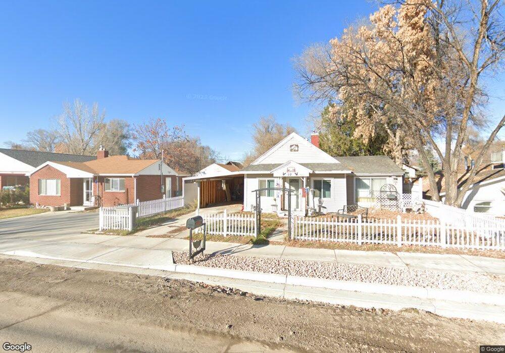
10 W 200 S American Fork, UT 84003
Estimated Value: $352,000 - $392,000
3
Beds
1
Bath
1,080
Sq Ft
$337/Sq Ft
Est. Value
About This Home
This home is located at 10 W 200 S, American Fork, UT 84003 and is currently estimated at $364,212, approximately $337 per square foot. 10 W 200 S is a home located in Utah County with nearby schools including Greenwood Elementary School, American Fork Junior High School, and American Fork High School.
Ownership History
Date
Name
Owned For
Owner Type
Purchase Details
Closed on
May 20, 2005
Sold by
Tee M Up Enterprises Inc
Bought by
Monson Jay L and Monson Shellie K
Current Estimated Value
Purchase Details
Closed on
Aug 27, 2004
Sold by
Federal National Mortgage Association
Bought by
Tee M Up Enterprises Inc
Purchase Details
Closed on
Jul 15, 2004
Sold by
Cisneros Erasmo and Cisneros Maria
Bought by
Federal National Mortgage Association
Purchase Details
Closed on
Mar 20, 1997
Sold by
Zimmerman Steve P
Bought by
Cisneros Erasmo and Cisneros Maria
Create a Home Valuation Report for This Property
The Home Valuation Report is an in-depth analysis detailing your home's value as well as a comparison with similar homes in the area
Home Values in the Area
Average Home Value in this Area
Purchase History
| Date | Buyer | Sale Price | Title Company |
|---|---|---|---|
| Monson Jay L | -- | Utah First Title Insurance | |
| Tee M Up Enterprises Inc | -- | Empire Land Title Company | |
| Federal National Mortgage Association | $72,259 | -- | |
| Cisneros Erasmo | -- | Timp Title |
Source: Public Records
Tax History Compared to Growth
Tax History
| Year | Tax Paid | Tax Assessment Tax Assessment Total Assessment is a certain percentage of the fair market value that is determined by local assessors to be the total taxable value of land and additions on the property. | Land | Improvement |
|---|---|---|---|---|
| 2025 | $1,391 | $169,125 | $182,500 | $125,000 |
| 2024 | $1,391 | $154,550 | $0 | $0 |
| 2023 | $1,294 | $152,405 | $0 | $0 |
| 2022 | $1,462 | $169,950 | $0 | $0 |
| 2021 | $1,241 | $225,400 | $130,900 | $94,500 |
| 2020 | $1,156 | $203,600 | $116,900 | $86,700 |
| 2019 | $996 | $181,500 | $100,200 | $81,300 |
| 2018 | $924 | $160,900 | $90,200 | $70,700 |
| 2017 | $868 | $81,620 | $0 | $0 |
| 2016 | $830 | $72,490 | $0 | $0 |
| 2015 | $875 | $72,490 | $0 | $0 |
| 2014 | $864 | $70,620 | $0 | $0 |
Source: Public Records
Map
Nearby Homes
- 195 S Center St
- 171 S Center St
- 65 E 400 S Unit 8
- 368 S Storrs Ct Unit 107
- 271 S Barratt Cir
- 126 S 300 E
- 129 W Pacific Dr
- 336 S 300 E
- 105 N 100 W
- 429 S Storrs Ave
- 115 S 300 E
- 351 Washington Ave
- 316 W 390 S
- 382 W 330 S
- 428 S 300 E
- 148 N 100 E
- 82 S Lincoln Ave
- 365 W 370 S
- 146 N Grant Ave
- 161 N Grant Ave