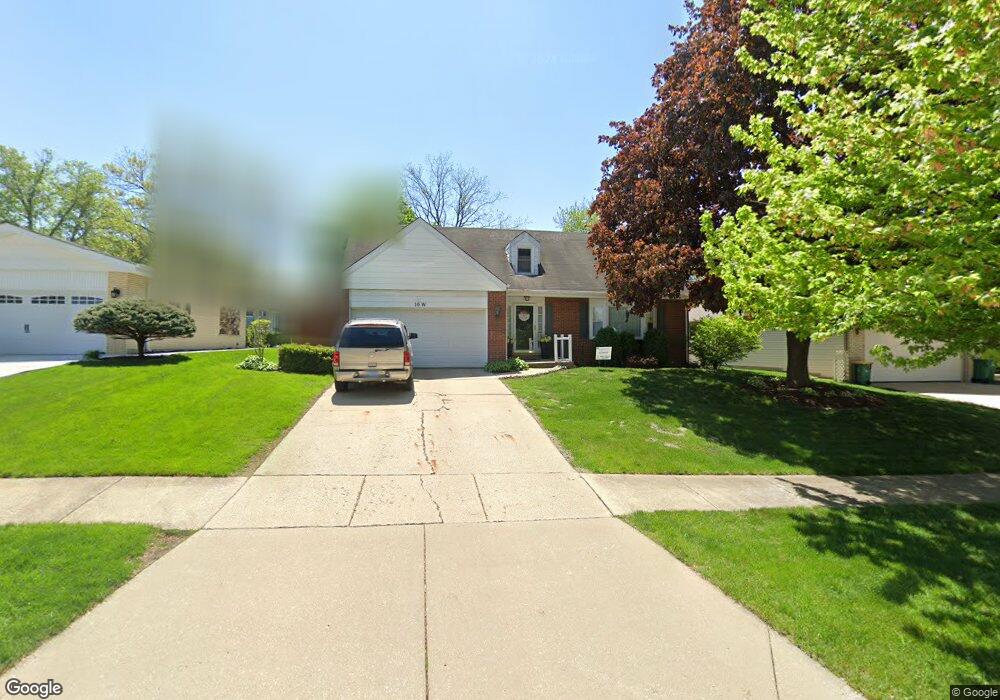
10 W Custer St Lemont, IL 60439
West Lemont NeighborhoodEstimated Value: $444,000 - $487,000
4
Beds
3
Baths
1,536
Sq Ft
$301/Sq Ft
Est. Value
About This Home
This home is located at 10 W Custer St, Lemont, IL 60439 and is currently estimated at $462,595, approximately $301 per square foot. 10 W Custer St is a home located in Cook County with nearby schools including Oakwood School, River Valley School, and Old Quarry Middle School.
Ownership History
Date
Name
Owned For
Owner Type
Purchase Details
Closed on
Jun 18, 1998
Sold by
Tribe Charles J and Tribe Sharon A
Bought by
Kraker Kevin and Kraker Gayle
Current Estimated Value
Home Financials for this Owner
Home Financials are based on the most recent Mortgage that was taken out on this home.
Original Mortgage
$177,225
Outstanding Balance
$33,139
Interest Rate
7.27%
Estimated Equity
$429,456
Create a Home Valuation Report for This Property
The Home Valuation Report is an in-depth analysis detailing your home's value as well as a comparison with similar homes in the area
Home Values in the Area
Average Home Value in this Area
Purchase History
| Date | Buyer | Sale Price | Title Company |
|---|---|---|---|
| Kraker Kevin | $208,500 | -- |
Source: Public Records
Mortgage History
| Date | Status | Borrower | Loan Amount |
|---|---|---|---|
| Open | Kraker Kevin | $177,225 |
Source: Public Records
Tax History
| Year | Tax Paid | Tax Assessment Tax Assessment Total Assessment is a certain percentage of the fair market value that is determined by local assessors to be the total taxable value of land and additions on the property. | Land | Improvement |
|---|---|---|---|---|
| 2025 | $7,416 | $39,000 | $6,370 | $32,630 |
| 2024 | $7,416 | $39,000 | $6,370 | $32,630 |
| 2023 | $6,314 | $39,000 | $6,370 | $32,630 |
| 2022 | $6,314 | $29,428 | $5,635 | $23,793 |
| 2021 | $6,142 | $29,428 | $5,635 | $23,793 |
| 2020 | $6,261 | $29,428 | $5,635 | $23,793 |
| 2019 | $6,077 | $29,703 | $5,635 | $24,068 |
| 2018 | $5,976 | $29,703 | $5,635 | $24,068 |
| 2017 | $5,900 | $29,703 | $5,635 | $24,068 |
| 2016 | $4,570 | $21,854 | $4,655 | $17,199 |
| 2015 | $4,608 | $21,854 | $4,655 | $17,199 |
| 2014 | $4,666 | $21,854 | $4,655 | $17,199 |
| 2013 | $5,116 | $25,137 | $4,655 | $20,482 |
Source: Public Records
Map
Nearby Homes
- 724 Ridge Rd
- 705 State St
- 51 Evergreen Dr
- 1009 Walter St
- 1012 Warner Ave
- 400 Mccarthy Rd Unit 421
- 1023 Walter St
- 1025 Walter St
- 332 River St Unit 4504
- 342 River St Unit 3402
- 700 Czacki St
- 614 Czacki St
- 904 Hillview Dr
- 523 Talcott Ave
- 11174 Tuscany Ln
- 508 Keepataw Dr
- 15500 E 127th St
- 12755 Saint Andrews Ct Unit 302
- 1268 Durham Ln
- 1200 Prairie Ln Unit 1-A
Your Personal Tour Guide
Ask me questions while you tour the home.