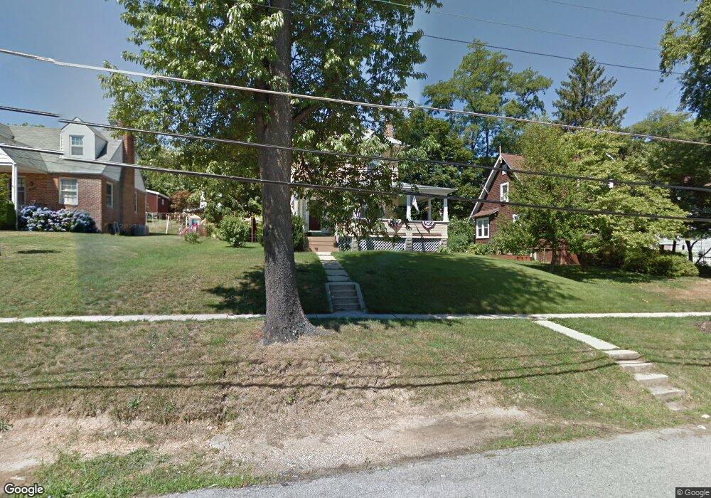
10 Wade Ave Catonsville, MD 21228
Estimated Value: $334,918 - $361,000
--
Bed
1
Bath
1,300
Sq Ft
$269/Sq Ft
Est. Value
About This Home
This home is located at 10 Wade Ave, Catonsville, MD 21228 and is currently estimated at $349,730, approximately $269 per square foot. 10 Wade Ave is a home located in Baltimore County with nearby schools including Catonsville Elementary School, Arbutus Middle School, and Catonsville High School.
Ownership History
Date
Name
Owned For
Owner Type
Purchase Details
Closed on
Aug 6, 2018
Sold by
Conrov Patrick R and Conroy Patrick C
Bought by
Cain Ronn R and Cain Linda C
Current Estimated Value
Home Financials for this Owner
Home Financials are based on the most recent Mortgage that was taken out on this home.
Original Mortgage
$125,000
Outstanding Balance
$108,557
Interest Rate
4.5%
Mortgage Type
New Conventional
Estimated Equity
$241,173
Purchase Details
Closed on
Jun 11, 1974
Sold by
Reuter Michael S
Bought by
Cain Ronn R and Cain Linda C
Create a Home Valuation Report for This Property
The Home Valuation Report is an in-depth analysis detailing your home's value as well as a comparison with similar homes in the area
Home Values in the Area
Average Home Value in this Area
Purchase History
| Date | Buyer | Sale Price | Title Company |
|---|---|---|---|
| Cain Ronn R | $2,000 | Advantage Title Co Llc | |
| Cain Ronn R | $28,500 | -- |
Source: Public Records
Mortgage History
| Date | Status | Borrower | Loan Amount |
|---|---|---|---|
| Open | Cain Ronn R | $125,000 |
Source: Public Records
Tax History Compared to Growth
Tax History
| Year | Tax Paid | Tax Assessment Tax Assessment Total Assessment is a certain percentage of the fair market value that is determined by local assessors to be the total taxable value of land and additions on the property. | Land | Improvement |
|---|---|---|---|---|
| 2025 | $3,470 | $260,533 | -- | -- |
| 2024 | $3,470 | $251,200 | $132,500 | $118,700 |
| 2023 | $1,636 | $232,167 | $0 | $0 |
| 2022 | $3,088 | $213,133 | $0 | $0 |
| 2021 | $2,973 | $194,100 | $92,500 | $101,600 |
| 2020 | $2,973 | $186,433 | $0 | $0 |
| 2019 | $2,951 | $178,767 | $0 | $0 |
| 2018 | $2,748 | $171,100 | $77,500 | $93,600 |
| 2017 | $2,491 | $166,367 | $0 | $0 |
| 2016 | $2,014 | $161,633 | $0 | $0 |
| 2015 | $2,014 | $156,900 | $0 | $0 |
| 2014 | $2,014 | $156,900 | $0 | $0 |
Source: Public Records
Map
Nearby Homes
- 36 Darrow Dr
- 14 Glenwood Ave
- 214 Shady Nook Ct
- 6618 Altamont Ave
- 19 Dunmore Rd
- 72 N Prospect Ave
- 49 Briarwood Rd
- 19 Somerset Rd
- 119 S Symington Ave
- 30 Nunnery Ln
- 15 Edmondson Ridge Rd
- 312 Small Ct
- 38A Winters Ln
- 4 Holmes Ave
- 42 Winters Ln
- 6222 Frederick Rd
- 322 Whitfield Rd
- 325 Whitfield Rd
- 518 Ingleside Ave
- 4 N Belle Grove Rd