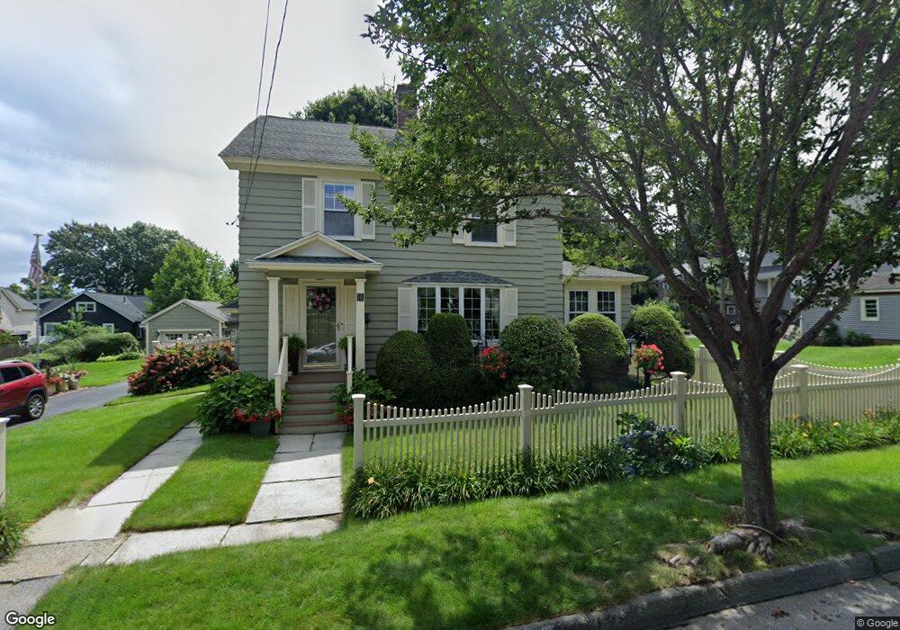
10 Wahnita Rd Worcester, MA 01606
Burncoat NeighborhoodEstimated Value: $490,000 - $562,000
3
Beds
3
Baths
2,040
Sq Ft
$254/Sq Ft
Est. Value
About This Home
This home is located at 10 Wahnita Rd, Worcester, MA 01606 and is currently estimated at $519,175, approximately $254 per square foot. 10 Wahnita Rd is a home located in Worcester County with nearby schools including Jacob Hiatt Magnet School, Chandler Magnet, and Thorndyke Road School.
Create a Home Valuation Report for This Property
The Home Valuation Report is an in-depth analysis detailing your home's value as well as a comparison with similar homes in the area
Home Values in the Area
Average Home Value in this Area
Tax History Compared to Growth
Tax History
| Year | Tax Paid | Tax Assessment Tax Assessment Total Assessment is a certain percentage of the fair market value that is determined by local assessors to be the total taxable value of land and additions on the property. | Land | Improvement |
|---|---|---|---|---|
| 2025 | $5,616 | $425,800 | $118,800 | $307,000 |
| 2024 | $5,506 | $400,400 | $118,800 | $281,600 |
| 2023 | $5,291 | $369,000 | $103,300 | $265,700 |
| 2022 | $4,888 | $321,400 | $82,600 | $238,800 |
| 2021 | $4,796 | $294,600 | $66,100 | $228,500 |
| 2020 | $4,653 | $273,700 | $66,100 | $207,600 |
| 2019 | $4,487 | $249,300 | $59,600 | $189,700 |
| 2018 | $4,467 | $236,200 | $59,600 | $176,600 |
| 2017 | $4,300 | $223,700 | $59,600 | $164,100 |
| 2016 | $4,277 | $207,500 | $43,800 | $163,700 |
| 2015 | $4,165 | $207,500 | $43,800 | $163,700 |
| 2014 | $4,055 | $207,500 | $43,800 | $163,700 |
Source: Public Records
Map
Nearby Homes
- 113 Bay State Rd
- 3 Granville Ave
- 18 Claffey Ave
- 120 Bay State Rd
- 95 Saint Nicholas Ave
- 15 Inwood Rd
- 134 Whitmarsh Ave
- 276 Saint Nicholas Ave
- 40 Francis St
- 13 Fatima Ln
- 304 Saint Nicholas Ave
- 2206 Halcyon Dr Unit 2206
- 8 Cherry Blossom Cir Unit 50
- 14 Mary Ann Dr
- 2 Maria Ln Unit 2
- 23 Viele Ave
- 34 King Philip Rd
- 31 Enaya Cir Unit 31
- 29 E Mountain
- 15 Ericsson St