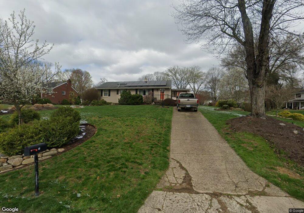
10 Walnut Ave Carnegie, PA 15106
Estimated Value: $249,313 - $311,000
3
Beds
2
Baths
1,092
Sq Ft
$246/Sq Ft
Est. Value
About This Home
This home is located at 10 Walnut Ave, Carnegie, PA 15106 and is currently estimated at $268,828, approximately $246 per square foot. 10 Walnut Ave is a home located in Allegheny County with nearby schools including Chartiers Valley Primary School, Chartiers Valley Intermediate School, and Chartiers Valley Middle School.
Ownership History
Date
Name
Owned For
Owner Type
Purchase Details
Closed on
Sep 3, 2013
Sold by
Tedde Cynthia M
Bought by
Bunecicky Clarence
Current Estimated Value
Home Financials for this Owner
Home Financials are based on the most recent Mortgage that was taken out on this home.
Original Mortgage
$166,500
Outstanding Balance
$123,952
Interest Rate
4.34%
Mortgage Type
New Conventional
Estimated Equity
$144,876
Purchase Details
Closed on
Jun 28, 1999
Sold by
Jessloski Kathryn and Pacella Judith J
Bought by
Tedde Thomas and Tedde Cynthia M
Create a Home Valuation Report for This Property
The Home Valuation Report is an in-depth analysis detailing your home's value as well as a comparison with similar homes in the area
Home Values in the Area
Average Home Value in this Area
Purchase History
| Date | Buyer | Sale Price | Title Company |
|---|---|---|---|
| Bunecicky Clarence | $185,000 | -- | |
| Tedde Thomas | $120,000 | -- |
Source: Public Records
Mortgage History
| Date | Status | Borrower | Loan Amount |
|---|---|---|---|
| Open | Bunecicky Clarence | $166,500 |
Source: Public Records
Tax History
| Year | Tax Paid | Tax Assessment Tax Assessment Total Assessment is a certain percentage of the fair market value that is determined by local assessors to be the total taxable value of land and additions on the property. | Land | Improvement |
|---|---|---|---|---|
| 2025 | $3,221 | $111,000 | $40,000 | $71,000 |
| 2024 | $3,221 | $111,000 | $40,000 | $71,000 |
| 2023 | $3,133 | $111,000 | $40,000 | $71,000 |
| 2022 | $3,062 | $111,000 | $40,000 | $71,000 |
| 2021 | $3,001 | $111,000 | $40,000 | $71,000 |
| 2020 | $3,404 | $111,000 | $40,000 | $71,000 |
| 2019 | $3,341 | $129,000 | $40,000 | $89,000 |
| 2017 | $3,156 | $129,000 | $40,000 | $89,000 |
Source: Public Records
Map
Nearby Homes
- 1405 Cambridge Dr
- 807 Cambridge Dr
- 805 Timber Trail
- 51 Mcmichael Rd
- 168 Firenze Dr
- 1021 Livorno Dr
- 4040 Breckenridge Dr
- 1070 Saint Mellion Dr
- 5027 Thoms Run Rd
- 0 Thoms Run Rd
- 5016 Parkside Dr
- 5010 Parkside Dr
- 307 Champions Way
- 5008 Parkside Dr
- 5006 Parkside Dr
- 5004 Parkside Dr
- 5002 Parkside Dr
- 5009 Parkside Dr
- 5007 Parkside Dr
- 5003 Parkside Dr
Your Personal Tour Guide
Ask me questions while you tour the home.