Estimated Value: $919,000 - $1,346,410
4
Beds
3
Baths
2,332
Sq Ft
$525/Sq Ft
Est. Value
About This Home
This home is located at 10 Walter's Way Rd, Newry, ME 04261 and is currently estimated at $1,224,853, approximately $525 per square foot. 10 Walter's Way Rd is a home located in Oxford County with nearby schools including Telstar Middle School and Telstar High School.
Ownership History
Date
Name
Owned For
Owner Type
Purchase Details
Closed on
May 23, 2025
Sold by
Happy Trail Llc
Bought by
Bernard Andrea E and Bernard Timbre W
Current Estimated Value
Home Financials for this Owner
Home Financials are based on the most recent Mortgage that was taken out on this home.
Original Mortgage
$808,200
Outstanding Balance
$804,637
Interest Rate
5.5%
Mortgage Type
Purchase Money Mortgage
Estimated Equity
$420,216
Purchase Details
Closed on
May 23, 2016
Sold by
Oconnell William M
Bought by
Happy Trail Llc
Create a Home Valuation Report for This Property
The Home Valuation Report is an in-depth analysis detailing your home's value as well as a comparison with similar homes in the area
Home Values in the Area
Average Home Value in this Area
Purchase History
| Date | Buyer | Sale Price | Title Company |
|---|---|---|---|
| Bernard Andrea E | -- | None Available | |
| Bernard Andrea E | -- | None Available | |
| Happy Trail Llc | -- | -- | |
| Happy Trail Llc | -- | -- |
Source: Public Records
Mortgage History
| Date | Status | Borrower | Loan Amount |
|---|---|---|---|
| Open | Bernard Andrea E | $808,200 | |
| Closed | Bernard Andrea E | $808,200 |
Source: Public Records
Tax History Compared to Growth
Tax History
| Year | Tax Paid | Tax Assessment Tax Assessment Total Assessment is a certain percentage of the fair market value that is determined by local assessors to be the total taxable value of land and additions on the property. | Land | Improvement |
|---|---|---|---|---|
| 2024 | $4,339 | $818,700 | $211,900 | $606,800 |
| 2023 | $4,088 | $480,900 | $169,600 | $311,300 |
| 2022 | $4,016 | $480,900 | $169,600 | $311,300 |
| 2021 | $3,847 | $480,900 | $169,600 | $311,300 |
| 2020 | $3,667 | $342,700 | $96,000 | $246,700 |
| 2019 | $3,667 | $342,700 | $96,000 | $246,700 |
| 2018 | $3,701 | $342,700 | $96,000 | $246,700 |
| 2017 | $3,321 | $342,700 | $96,000 | $246,700 |
| 2016 | $3,187 | $342,700 | $96,000 | $246,700 |
| 2015 | $3,245 | $342,700 | $96,000 | $246,700 |
| 2014 | $3,101 | $342,700 | $96,000 | $246,700 |
| 2013 | $3,074 | $342,700 | $96,000 | $246,700 |
Source: Public Records
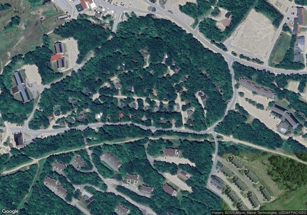
Map
Nearby Homes
- 23 White Cap Village Rd Unit A202/203
- 16 Roadrunner Dr Unit A108
- 16 Roadrunner Dr Unit A308
- 10 Brookside Dr Unit 1A306
- 10 Brookside Dr Unit 1B408
- 8 Cascade Dr Unit C17
- 8 Sunrise Dr Unit A108
- 8 Sunrise Dr Unit A115
- 8 Sunrise Dr Unit C122
- Lot 9 Pond Rd
- 8 Fall Line Dr Unit S214
- 8 Fall Line Dr Unit N211
- 8 Fall Line Dr Unit N201
- 8 Fall Line Dr Unit N105
- 376 Skiway Rd Unit 107
- 372 Skiway Rd Unit II204
- 27 Crosby Ln Unit 14
- 23 Skiway Rd
- Lot 23/24 Coombs Rd
- 102 Coombs Rd
- 10 Walters
- 12 Walter's Way
- 49 Barker Mountain Rd
- 9 Walters Way
- 53 Barker Mountain Rd
- 45 Barker Mountain Rd
- 5 Walters Way
- 20 Walters Way
- 10 Viking Village Rd
- 57 Barker Mountain Rd
- 18 Viking Village Rd
- 43 Barker Mountain Rd
- 17 Walter's Way
- 38 Viking Village Rd
- 32 Viking Village Rd
- 61 Barker Mountain Rd
- 22 Viking Village Rd
- 1 Viking Village
- 1 Viking Village Rd
- 42 Viking Village Rd