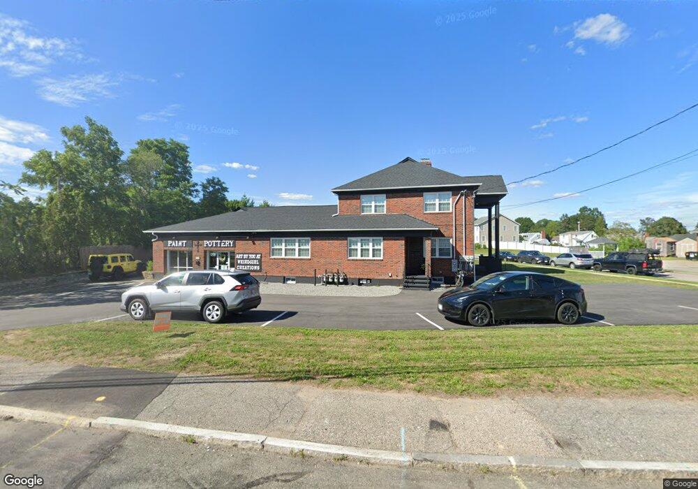
10 Wampanoag Trail Riverside, RI 02915
Kent Heights NeighborhoodEstimated Value: $586,000 - $708,000
3
Beds
3
Baths
4,392
Sq Ft
$142/Sq Ft
Est. Value
About This Home
This home is located at 10 Wampanoag Trail, Riverside, RI 02915 and is currently estimated at $622,145, approximately $141 per square foot. 10 Wampanoag Trail is a home located in Providence County with nearby schools including East Providence High School, St Mary Academy-Bay View, and The Gordon School.
Ownership History
Date
Name
Owned For
Owner Type
Purchase Details
Closed on
Oct 11, 2022
Sold by
Decosta Deborah Est and Decosta
Bought by
C & C Investing Group Llc
Current Estimated Value
Purchase Details
Closed on
Sep 11, 2017
Sold by
Morris Manuel R
Bought by
Decosta Joseph and Decosta Deborah A
Purchase Details
Closed on
Jan 26, 2004
Sold by
Morris Manuel
Bought by
Mateus Luis
Create a Home Valuation Report for This Property
The Home Valuation Report is an in-depth analysis detailing your home's value as well as a comparison with similar homes in the area
Home Values in the Area
Average Home Value in this Area
Purchase History
| Date | Buyer | Sale Price | Title Company |
|---|---|---|---|
| C & C Investing Group Llc | $450,000 | None Available | |
| C & C Investing Group Llc | $450,000 | None Available | |
| Decosta Joseph | -- | -- | |
| Mateus Luis | $120,000 | -- | |
| Decosta Joseph | -- | -- | |
| Mateus Luis | $120,000 | -- |
Source: Public Records
Tax History Compared to Growth
Tax History
| Year | Tax Paid | Tax Assessment Tax Assessment Total Assessment is a certain percentage of the fair market value that is determined by local assessors to be the total taxable value of land and additions on the property. | Land | Improvement |
|---|---|---|---|---|
| 2025 | $7,202 | $551,000 | $0 | $551,000 |
| 2024 | $8,447 | $551,000 | $120,300 | $430,700 |
| 2023 | $8,133 | $551,000 | $120,300 | $430,700 |
| 2022 | $9,872 | $451,600 | $73,200 | $378,400 |
| 2021 | $9,709 | $451,600 | $68,700 | $382,900 |
| 2020 | $9,298 | $451,600 | $68,700 | $382,900 |
| 2019 | $9,041 | $451,600 | $68,700 | $382,900 |
| 2018 | $10,136 | $443,000 | $70,700 | $372,300 |
| 2017 | $9,910 | $443,000 | $70,700 | $372,300 |
| 2016 | $9,861 | $443,000 | $70,700 | $372,300 |
| 2015 | $9,671 | $421,400 | $62,400 | $359,000 |
| 2014 | $9,671 | $421,400 | $62,400 | $359,000 |
Source: Public Records
Map
Nearby Homes
- 53 Wampanoag Trail
- 36 Gerald St
- 10 Fairfield Ave
- 108 Ivan Ave
- 180 Grassmere Ave
- 59 Merritt Rd
- 87 Vincent Ave
- 25 Ide Ave
- 74 Brookhaven Dr
- 50 Kettle Point Ave Unit 50
- 740 Veterans Memorial Pkwy
- 1463 S Broadway
- 14 Waterview Ave Unit 16
- 26 Mayflower St
- 75 Belmont Ave
- 132 S Rose St
- 17 Brown St Unit 19
- 400 Juniper St Unit A
- 400 Juniper St Unit B
- 400 Juniper St Unit C
- 10 Wampanoag Trail
- 10 Wampanoag Trail Unit 3
- 10 Wampanoag Trail
- 10 Wampanoag Trail Unit 2
- 0 Wampanoag Trail
- 21 Ashburton Rd
- 9 Wampanoag Trail
- 15 Wampanoag Trail
- 22 Wampanoag Trail
- 2796 Pawtucket Ave
- 30 Wampanoag Trail
- 2800 Pawtucket Ave
- 19 Ashburton Rd
- 20 Ashburton Rd
- 18 Ashburton Rd
- 15 Ashburton Rd
- 31 Wampanoag Trail
- 2799 Pawtucket Ave Unit 4
- 2799 Pawtucket Ave Unit 2
- 2799 Pawtucket Ave Unit 3