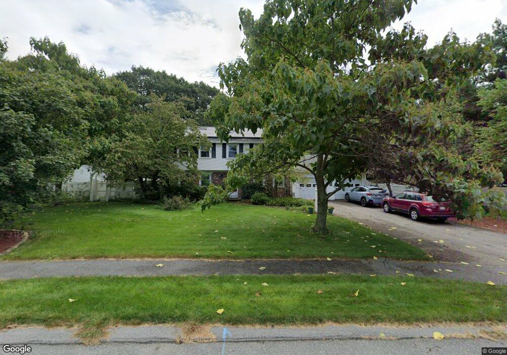
10 Warren Dr Wrentham, MA 02093
Estimated Value: $680,486 - $854,000
4
Beds
3
Baths
1,968
Sq Ft
$393/Sq Ft
Est. Value
About This Home
This home is located at 10 Warren Dr, Wrentham, MA 02093 and is currently estimated at $774,372, approximately $393 per square foot. 10 Warren Dr is a home located in Norfolk County with nearby schools including Delaney Elementary School and Charles E Roderick.
Ownership History
Date
Name
Owned For
Owner Type
Purchase Details
Closed on
Jan 5, 2017
Sold by
Kerr Charles R
Bought by
Charles Kerr T
Current Estimated Value
Purchase Details
Closed on
Jul 22, 1991
Sold by
Sullivan Laurence W
Bought by
Collinson Denise B
Home Financials for this Owner
Home Financials are based on the most recent Mortgage that was taken out on this home.
Original Mortgage
$157,000
Interest Rate
9.36%
Mortgage Type
Purchase Money Mortgage
Create a Home Valuation Report for This Property
The Home Valuation Report is an in-depth analysis detailing your home's value as well as a comparison with similar homes in the area
Purchase History
| Date | Buyer | Sale Price | Title Company |
|---|---|---|---|
| Charles Kerr T | -- | -- | |
| Collinson Denise B | $174,500 | -- |
Source: Public Records
Mortgage History
| Date | Status | Borrower | Loan Amount |
|---|---|---|---|
| Previous Owner | Collinson Denise B | $175,000 | |
| Previous Owner | Collinson Denise B | $15,000 | |
| Previous Owner | Collinson Denise B | $156,000 | |
| Previous Owner | Collinson Denise B | $157,000 |
Source: Public Records
Tax History
| Year | Tax Paid | Tax Assessment Tax Assessment Total Assessment is a certain percentage of the fair market value that is determined by local assessors to be the total taxable value of land and additions on the property. | Land | Improvement |
|---|---|---|---|---|
| 2025 | $6,909 | $596,100 | $303,000 | $293,100 |
| 2024 | $6,668 | $555,700 | $303,000 | $252,700 |
| 2023 | $6,334 | $501,900 | $275,400 | $226,500 |
| 2022 | $6,124 | $448,000 | $256,900 | $191,100 |
| 2021 | $5,631 | $400,200 | $224,300 | $175,900 |
| 2020 | $5,505 | $386,300 | $199,500 | $186,800 |
| 2019 | $5,335 | $377,800 | $199,500 | $178,300 |
| 2018 | $5,393 | $378,700 | $199,700 | $179,000 |
| 2017 | $5,076 | $356,200 | $195,900 | $160,300 |
| 2016 | $4,989 | $349,400 | $190,200 | $159,200 |
| 2015 | $4,834 | $322,700 | $182,800 | $139,900 |
| 2014 | $4,757 | $310,700 | $175,900 | $134,800 |
Source: Public Records
Map
Nearby Homes
- 45 Joshua Rd
- 287 Park St
- 50 Reed Fulton Ave Unit Lot 61
- 246 Forest Grove Ave
- 500 Franklin St
- 9 Elliot Mills Unit 5
- 8 Elliot Mills Unit 30
- 5 Elliot Mills Unit 3
- 7 Elliot Mills Unit 4
- 10 Elliot Mills Unit 29
- 14 Waites Crossing
- 20 Waites Crossing
- 19 Waites Crossing
- 13 Waites Crossing
- 8 Ridgefield Rd
- 23 Fredrickson Rd
- 0 W Birch Rd
- 75 Jordan Rd
- 10 Nature View Dr
- 15 Nature View Dr
- 16 Lot 16 Warren Dr
- 20 Warren Dr
- 19 Lot 19 Warren Dr
- 25 Warren Dr
- 30 Warren Dr
- 364 Park St
- 15 Farrington Ave
- 23 Farrington Ave
- 35 Warren Dr
- 376 Park St
- 352 Park St
- 31 Farrington Ave
- 400 Park St
- 7 Farrington Ave
- 45 Warren Dr
- 340 Park St
- 40 Warren Dr
- 16 Farrington Ave
- 24 Farrington Ave
- 39 Farrington Ave
Your Personal Tour Guide
Ask me questions while you tour the home.