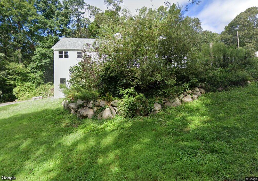
10 Watrous Rd Clinton, CT 06413
Estimated Value: $341,834 - $435,000
2
Beds
1
Bath
1,439
Sq Ft
$269/Sq Ft
Est. Value
About This Home
This home is located at 10 Watrous Rd, Clinton, CT 06413 and is currently estimated at $387,209, approximately $269 per square foot. 10 Watrous Rd is a home located in Middlesex County with nearby schools including Lewin G. Joel Jr. School, The Morgan School, and Our Lady of Mercy Preparatory Academy.
Ownership History
Date
Name
Owned For
Owner Type
Purchase Details
Closed on
Apr 5, 1999
Sold by
Stone Eugene E
Bought by
Warner Jerome and Warner Concetta G
Current Estimated Value
Purchase Details
Closed on
Jul 19, 1996
Sold by
Duffy Martin N and Duffy Helen
Bought by
Stone Eugene E
Purchase Details
Closed on
Jul 29, 1988
Sold by
Duhaime Marshall D
Bought by
Erno Steven M
Create a Home Valuation Report for This Property
The Home Valuation Report is an in-depth analysis detailing your home's value as well as a comparison with similar homes in the area
Home Values in the Area
Average Home Value in this Area
Purchase History
| Date | Buyer | Sale Price | Title Company |
|---|---|---|---|
| Warner Jerome | $136,000 | -- | |
| Warner Jerome | $136,000 | -- | |
| Stone Eugene E | $73,000 | -- | |
| Stone Eugene E | $73,000 | -- | |
| Erno Steven M | $116,500 | -- |
Source: Public Records
Mortgage History
| Date | Status | Borrower | Loan Amount |
|---|---|---|---|
| Open | Erno Steven M | $196,200 | |
| Closed | Erno Steven M | $194,600 |
Source: Public Records
Tax History Compared to Growth
Tax History
| Year | Tax Paid | Tax Assessment Tax Assessment Total Assessment is a certain percentage of the fair market value that is determined by local assessors to be the total taxable value of land and additions on the property. | Land | Improvement |
|---|---|---|---|---|
| 2025 | $4,649 | $149,300 | $45,900 | $103,400 |
| 2024 | $4,518 | $149,300 | $45,900 | $103,400 |
| 2023 | $4,454 | $149,300 | $45,900 | $103,400 |
| 2022 | $4,454 | $149,300 | $45,900 | $103,400 |
| 2021 | $4,272 | $143,200 | $45,900 | $97,300 |
| 2020 | $4,475 | $143,200 | $45,900 | $97,300 |
| 2019 | $4,475 | $143,200 | $45,900 | $97,300 |
| 2018 | $4,373 | $143,200 | $45,900 | $97,300 |
| 2017 | $4,283 | $143,200 | $45,900 | $97,300 |
| 2016 | $3,886 | $143,200 | $45,900 | $97,300 |
| 2015 | $3,973 | $148,400 | $51,000 | $97,400 |
| 2014 | $3,898 | $148,400 | $51,000 | $97,400 |
Source: Public Records
Map
Nearby Homes
- 4 Columbia Rd
- 3 Jamaica Rd
- 4 Van Dyke Ln
- 318 Horse Pond Rd
- 97 Kelsey Springs Dr
- 141 Duck Hole Rd
- 0 Skytop Dr
- 73 Airline Rd
- 5 Kings Grant Rd
- 454 Horse Pond Rd Unit B
- 454 Horse Pond Rd Unit D
- 454 Horse Pond Rd Unit C
- 18 Kelsey Springs Dr
- 71 Madison Springs Dr
- 462 Horse Pond Rd
- 20 Strawberry Hill Rd
- 60 Robin Ridge Dr
- 16 Yankee Peddler Path
- 42 Wildcat Rd
- 129 Acorn Rd