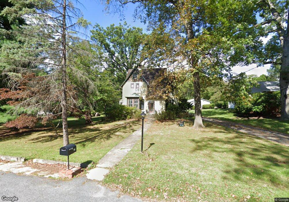
10 Waugh Ave Reisterstown, MD 21136
Estimated Value: $497,000 - $841,000
--
Bed
2
Baths
2,848
Sq Ft
$223/Sq Ft
Est. Value
About This Home
This home is located at 10 Waugh Ave, Reisterstown, MD 21136 and is currently estimated at $634,377, approximately $222 per square foot. 10 Waugh Ave is a home located in Baltimore County with nearby schools including Franklin Elementary School, Franklin Middle, and Franklin High.
Ownership History
Date
Name
Owned For
Owner Type
Purchase Details
Closed on
Jul 24, 2001
Sold by
Snider Michael L
Bought by
Wroe Clark Lee and Wroe Robyn L
Current Estimated Value
Purchase Details
Closed on
Mar 13, 1998
Sold by
Burns Roberta C
Bought by
Snider Michael L and Snider Robin L
Purchase Details
Closed on
Sep 23, 1997
Sold by
Burns Roberta C
Bought by
Burns Roberta C and Burns Paul Barry
Purchase Details
Closed on
Jul 27, 1995
Sold by
Nayden Matthew W
Bought by
Burns Roberta C
Home Financials for this Owner
Home Financials are based on the most recent Mortgage that was taken out on this home.
Original Mortgage
$203,150
Interest Rate
7.56%
Create a Home Valuation Report for This Property
The Home Valuation Report is an in-depth analysis detailing your home's value as well as a comparison with similar homes in the area
Home Values in the Area
Average Home Value in this Area
Purchase History
| Date | Buyer | Sale Price | Title Company |
|---|---|---|---|
| Wroe Clark Lee | $260,000 | -- | |
| Snider Michael L | $229,000 | -- | |
| Burns Roberta C | -- | -- | |
| Burns Roberta C | $215,000 | -- |
Source: Public Records
Mortgage History
| Date | Status | Borrower | Loan Amount |
|---|---|---|---|
| Previous Owner | Burns Roberta C | $203,150 |
Source: Public Records
Tax History Compared to Growth
Tax History
| Year | Tax Paid | Tax Assessment Tax Assessment Total Assessment is a certain percentage of the fair market value that is determined by local assessors to be the total taxable value of land and additions on the property. | Land | Improvement |
|---|---|---|---|---|
| 2025 | $5,013 | $409,400 | -- | -- |
| 2024 | $5,013 | $388,200 | $122,700 | $265,500 |
| 2023 | $2,462 | $380,233 | $0 | $0 |
| 2022 | $4,775 | $372,267 | $0 | $0 |
| 2021 | $4,553 | $364,300 | $122,700 | $241,600 |
| 2020 | $4,553 | $353,200 | $0 | $0 |
| 2019 | $4,399 | $342,100 | $0 | $0 |
| 2018 | $4,247 | $331,000 | $122,700 | $208,300 |
| 2017 | $4,172 | $331,000 | $0 | $0 |
| 2016 | $3,706 | $331,000 | $0 | $0 |
| 2015 | $3,706 | $335,500 | $0 | $0 |
| 2014 | $3,706 | $335,500 | $0 | $0 |
Source: Public Records
Map
Nearby Homes
- 2 Bowers Ln
- 341 Central Ave
- 13943 B Old Hanover Rd
- 13943 C Old Hanover Rd
- 13943 D Old Hanover Rd
- 7 Butler Rd
- 1 Forest Glen Ct
- 27 Farm Gate Way
- 710 Saint Paul Ave
- 409 Fox View Ct
- 12 Greensborough Rd
- 209 Bentley Hill Dr
- 10 Greensborough Rd
- 4 Wolf Ave
- 15 Gloucester Ct
- 12406 Old Grey Mare Ct
- 13304 Old Hanover Rd
- 65A Bond Ave
- 225 Northway Rd
- 13312 Hanover Pike