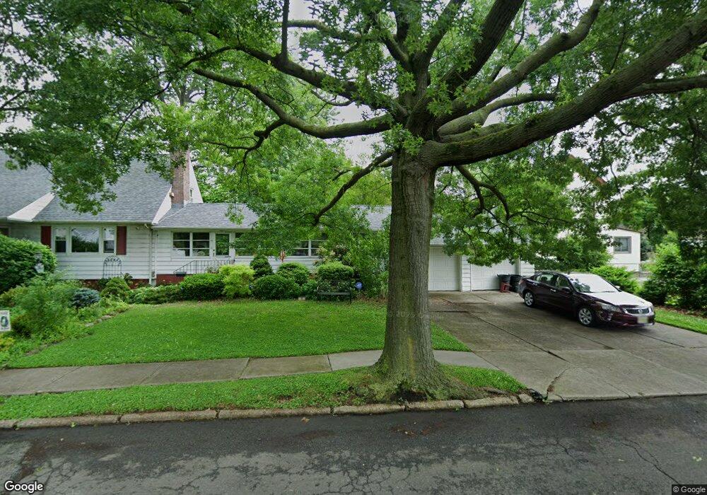
10 Werneking Place Unit 20 Little Ferry, NJ 07643
Estimated Value: $597,601 - $677,000
--
Bed
--
Bath
1,872
Sq Ft
$338/Sq Ft
Est. Value
About This Home
This home is located at 10 Werneking Place Unit 20, Little Ferry, NJ 07643 and is currently estimated at $632,650, approximately $337 per square foot. 10 Werneking Place Unit 20 is a home located in Bergen County with nearby schools including Memorial Middle School, Academy of Greatness & Excellence, and George Washington School.
Ownership History
Date
Name
Owned For
Owner Type
Purchase Details
Closed on
Oct 15, 1996
Sold by
Rodriguez Mona
Bought by
Kostroun William M
Current Estimated Value
Home Financials for this Owner
Home Financials are based on the most recent Mortgage that was taken out on this home.
Original Mortgage
$214,000
Outstanding Balance
$19,876
Interest Rate
8.22%
Mortgage Type
Purchase Money Mortgage
Estimated Equity
$612,774
Create a Home Valuation Report for This Property
The Home Valuation Report is an in-depth analysis detailing your home's value as well as a comparison with similar homes in the area
Home Values in the Area
Average Home Value in this Area
Purchase History
| Date | Buyer | Sale Price | Title Company |
|---|---|---|---|
| Kostroun William M | $229,000 | -- |
Source: Public Records
Mortgage History
| Date | Status | Borrower | Loan Amount |
|---|---|---|---|
| Open | Kostroun William M | $214,000 |
Source: Public Records
Tax History Compared to Growth
Tax History
| Year | Tax Paid | Tax Assessment Tax Assessment Total Assessment is a certain percentage of the fair market value that is determined by local assessors to be the total taxable value of land and additions on the property. | Land | Improvement |
|---|---|---|---|---|
| 2025 | $10,413 | $444,700 | $234,700 | $210,000 |
| 2024 | $10,120 | $415,700 | $209,700 | $206,000 |
| 2023 | $10,147 | $368,400 | $177,200 | $191,200 |
| 2022 | $10,147 | $344,800 | $164,700 | $180,100 |
| 2021 | $9,471 | $320,100 | $154,700 | $165,400 |
| 2020 | $10,274 | $316,700 | $152,700 | $164,000 |
| 2019 | $10,161 | $311,700 | $150,700 | $161,000 |
| 2018 | $10,177 | $308,300 | $148,700 | $159,600 |
| 2017 | $10,147 | $303,700 | $147,200 | $156,500 |
| 2016 | $10,063 | $300,200 | $144,700 | $155,500 |
| 2015 | $9,803 | $292,700 | $139,700 | $153,000 |
| 2014 | $12,026 | $456,400 | $283,600 | $172,800 |
Source: Public Records
Map
Nearby Homes
- 70 Main St Unit 1
- 78 Poplar Ave
- 25 Poplar Ave
- 48 Main St Unit 1
- 14 Park St
- 46 Grand St
- 23 Grand St
- 12 Brandt St
- 180 Main St
- 10 Ludwig St Unit HM
- 17 Chamberlain Ave Unit B
- 37 Riverside Ave
- 189 Washington Ave
- 28 Niehaus Ave
- 89 Liberty St
- 468a Liberty St Unit 101
- 16 Abend St Unit HM
- 462 Liberty St Unit 462A Unit 101
- 26 Christina St
- 460 Liberty St Unit 460 B Unit 308
- 36 Werneking Place
- 86 Main St
- 88 Main St
- 70 Main St Unit 3
- 70 Main St Unit 6
- 70 Main St Unit 5
- 70 Main St Unit 4
- 70 Main St Unit 2
- 70 Main St
- 92 Main St
- 32 Werneking Place
- 78 Main St
- 82 Main St
- 55 Poplar Ave
- 35 Werneking Place
- 49 Petersilge Dr
- 51 Poplar Ave
- 53 Petersilge Dr
- 31 Werneking Place
- 47 Poplar Ave