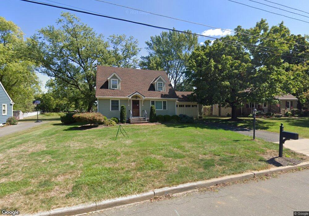
10 West Rd Flemington, NJ 08822
Estimated Value: $434,000 - $520,000
Studio
--
Bath
1,344
Sq Ft
$354/Sq Ft
Est. Value
About This Home
This home is located at 10 West Rd, Flemington, NJ 08822 and is currently estimated at $475,117, approximately $353 per square foot. 10 West Rd is a home located in Hunterdon County with nearby schools including Robert Hunter Elementary School, Reading Fleming Intermediate School, and J.P. Case Middle School.
Ownership History
Date
Name
Owned For
Owner Type
Purchase Details
Closed on
Jul 23, 2019
Sold by
Baker Jordan and Baker Jennifer
Bought by
Baker Donald
Current Estimated Value
Purchase Details
Closed on
Nov 30, 2006
Sold by
Baker Donald and Baker Mary B
Bought by
Baker Jordan
Home Financials for this Owner
Home Financials are based on the most recent Mortgage that was taken out on this home.
Original Mortgage
$228,000
Interest Rate
6.36%
Mortgage Type
Purchase Money Mortgage
Purchase Details
Closed on
Apr 2, 2004
Sold by
Baker Clarence W and Baker Edith
Bought by
Baker Donald and Baker Mary B
Purchase Details
Closed on
Jun 19, 1995
Sold by
Ronquist Robert
Bought by
M Reddington & Associates Inc
Create a Home Valuation Report for This Property
The Home Valuation Report is an in-depth analysis detailing your home's value as well as a comparison with similar homes in the area
Home Values in the Area
Average Home Value in this Area
Purchase History
| Date | Buyer | Sale Price | Title Company |
|---|---|---|---|
| Baker Donald | $360,000 | None Available | |
| Baker Jordan | $285,000 | None Available | |
| Baker Donald | $156,000 | -- | |
| M Reddington & Associates Inc | $100,000 | -- |
Source: Public Records
Mortgage History
| Date | Status | Borrower | Loan Amount |
|---|---|---|---|
| Previous Owner | Baker Jordan | $228,000 |
Source: Public Records
Tax History
| Year | Tax Paid | Tax Assessment Tax Assessment Total Assessment is a certain percentage of the fair market value that is determined by local assessors to be the total taxable value of land and additions on the property. | Land | Improvement |
|---|---|---|---|---|
| 2025 | $10,687 | $415,400 | $150,500 | $264,900 |
| 2024 | $10,382 | $379,500 | $131,400 | $248,100 |
Source: Public Records
Map
Nearby Homes
- 12 Corcoran St
- 92 Park Ave
- 30 Capner St
- 123 Thatchers Hill Rd
- 312 George Wilson Blvd
- 23 N Main St
- 52 Park Ave
- 31 E Main St
- 20 Chesterfield Ct
- 25 Park Ave
- 13 William St
- 0 Hardscrabble Hill Rd
- 1 Vinson Dr
- 1 Walters Ln
- 4 Ashton Ct
- 237A S Main St Unit A
- 237A S Main St
- 237B S Main St
- 9 Donna Dr
- 102 Clark Cir
Your Personal Tour Guide
Ask me questions while you tour the home.