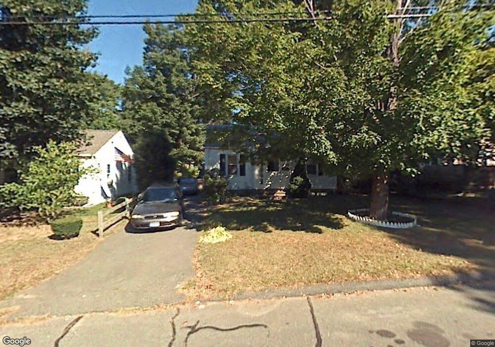
10 Westchester Dr Bristol, CT 06010
Forestville NeighborhoodEstimated Value: $237,000 - $280,000
2
Beds
1
Bath
816
Sq Ft
$317/Sq Ft
Est. Value
About This Home
This home is located at 10 Westchester Dr, Bristol, CT 06010 and is currently estimated at $258,355, approximately $316 per square foot. 10 Westchester Dr is a home located in Hartford County with nearby schools including Northeast Middle School, Bristol Eastern High School, and St Matthew School.
Ownership History
Date
Name
Owned For
Owner Type
Purchase Details
Closed on
Mar 30, 1989
Sold by
Klimkiewicz Richard
Bought by
Sibbach Richard M
Current Estimated Value
Home Financials for this Owner
Home Financials are based on the most recent Mortgage that was taken out on this home.
Original Mortgage
$115,900
Interest Rate
10.63%
Create a Home Valuation Report for This Property
The Home Valuation Report is an in-depth analysis detailing your home's value as well as a comparison with similar homes in the area
Home Values in the Area
Average Home Value in this Area
Purchase History
| Date | Buyer | Sale Price | Title Company |
|---|---|---|---|
| Sibbach Richard M | $122,000 | -- |
Source: Public Records
Mortgage History
| Date | Status | Borrower | Loan Amount |
|---|---|---|---|
| Closed | Sibbach Richard M | $23,000 | |
| Closed | Sibbach Richard M | $115,900 | |
| Previous Owner | Sibbach Richard M | $53,600 |
Source: Public Records
Tax History Compared to Growth
Tax History
| Year | Tax Paid | Tax Assessment Tax Assessment Total Assessment is a certain percentage of the fair market value that is determined by local assessors to be the total taxable value of land and additions on the property. | Land | Improvement |
|---|---|---|---|---|
| 2025 | $4,021 | $119,140 | $41,440 | $77,700 |
| 2024 | $3,775 | $118,510 | $41,440 | $77,070 |
| 2023 | $3,597 | $118,510 | $41,440 | $77,070 |
| 2022 | $3,471 | $90,510 | $33,670 | $56,840 |
| 2021 | $3,471 | $90,510 | $33,670 | $56,840 |
| 2020 | $3,471 | $90,510 | $33,670 | $56,840 |
| 2019 | $3,444 | $90,510 | $33,670 | $56,840 |
| 2018 | $3,338 | $90,510 | $33,670 | $56,840 |
| 2017 | $2,986 | $82,880 | $29,260 | $53,620 |
| 2016 | $2,986 | $82,880 | $29,260 | $53,620 |
| 2015 | $2,868 | $82,880 | $29,260 | $53,620 |
| 2014 | $2,868 | $82,880 | $29,260 | $53,620 |
Source: Public Records
Map
Nearby Homes
- 48 Morningside Dr E
- 16 Westchester Dr
- 38 Harper Ct
- 20 Westchester Dr
- 9 Westchester Dr
- 45 Morningside Dr E
- 26 Westchester Dr
- 5 Matilda Dr
- 58 Morningside Dr E
- 51 Morningside Dr E
- 32 Westchester Dr
- 26 Harper Ct
- 57 Morningside Dr E
- 37 Harper Ct
- 13 Matilda Dr
- 25 Westchester Dr
- 61 Morningside Dr E
- 10 Matilda Dr
- 36 Westchester Dr
- 66 Morningside Dr E