10 Wheatland Rd Rangeley, ME 04970
Estimated Value: $546,000
Studio
--
Bath
1,976
Sq Ft
$276/Sq Ft
Est. Value
About This Home
This home is located at 10 Wheatland Rd, Rangeley, ME 04970 and is currently estimated at $546,000, approximately $276 per square foot. 10 Wheatland Rd is a home with nearby schools including Rangeley Lakes Regional School.
Ownership History
Date
Name
Owned For
Owner Type
Purchase Details
Closed on
Oct 2, 2019
Sold by
Sokol H Nancy
Bought by
Andrews Peter F and Andrews Sandra M
Current Estimated Value
Home Financials for this Owner
Home Financials are based on the most recent Mortgage that was taken out on this home.
Original Mortgage
$264,000
Outstanding Balance
$228,708
Interest Rate
3.5%
Mortgage Type
New Conventional
Estimated Equity
$317,292
Purchase Details
Closed on
Apr 19, 2012
Sold by
Jessen John M
Bought by
Sokol H N
Create a Home Valuation Report for This Property
The Home Valuation Report is an in-depth analysis detailing your home's value as well as a comparison with similar homes in the area
Purchase History
| Date | Buyer | Sale Price | Title Company |
|---|---|---|---|
| Andrews Peter F | -- | -- | |
| Andrews Peter F | -- | -- | |
| Sokol H N | -- | -- |
Source: Public Records
Mortgage History
| Date | Status | Borrower | Loan Amount |
|---|---|---|---|
| Open | Andrews Peter F | $264,000 | |
| Closed | Andrews Peter F | $264,000 |
Source: Public Records
Tax History
| Year | Tax Paid | Tax Assessment Tax Assessment Total Assessment is a certain percentage of the fair market value that is determined by local assessors to be the total taxable value of land and additions on the property. | Land | Improvement |
|---|---|---|---|---|
| 2024 | $5,336 | $436,300 | $170,200 | $266,100 |
| 2023 | $5,336 | $436,300 | $170,200 | $266,100 |
| 2022 | $4,703 | $312,300 | $122,200 | $190,100 |
| 2021 | $4,631 | $312,300 | $122,200 | $190,100 |
| 2020 | $4,109 | $296,900 | $122,200 | $174,700 |
| 2019 | $4,142 | $296,900 | $122,200 | $174,700 |
| 2018 | $4,008 | $296,900 | $122,200 | $174,700 |
| 2017 | $3,762 | $296,900 | $122,200 | $174,700 |
| 2016 | $3,539 | $296,900 | $122,200 | $174,700 |
| 2015 | $3,400 | $296,900 | $122,200 | $174,700 |
| 2014 | $3,429 | $296,900 | $122,200 | $174,700 |
| 2013 | $3,474 | $296,900 | $122,200 | $174,700 |
Source: Public Records
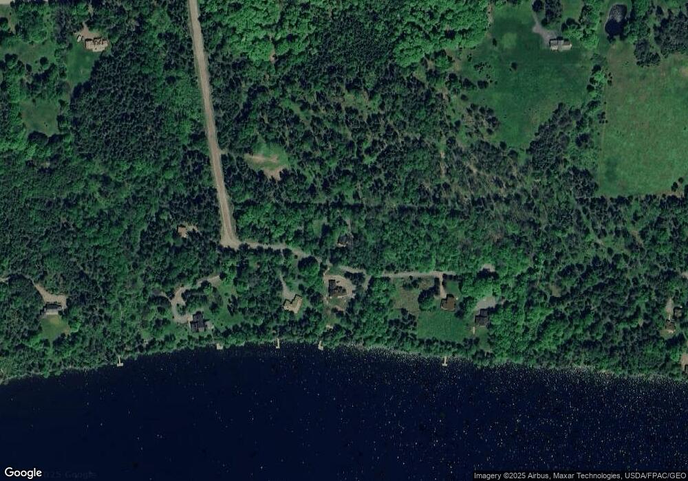
Map
Nearby Homes
- 41 Stone Hedge Ln
- 378 Mingo Loop Rd
- Lot 7 Sanctuary Dr
- 30 Spotted Fawn Ln
- 574 Mingo Loop Rd
- 642 Mingo Loop Rd
- 658 Mingo Loop Rd
- 747 S South Shore Dr Unit 25
- 62 Loon Lake Rd
- 157 S Shore Rd
- 27-12 Winter Rd
- 11 High St
- Lot 11 Errol Haley Way
- 26 Quimby Farm Rd
- Lot 6 Wheeler Rd
- 2388 Main St
- 92 Birds Eye Rd
- Lot 8 Margaret Ln
- 49 Field Way
- 3935 Main St
- 9 Wheatland Rd
- 17 Wheatland Rd
- Lot 6 Wheatland Dr
- 20 Vista Ln
- 20 Vista Ln
- 174 Mingo Loop Rd
- 106 Mingo Loop Rd
- 173 Dorset Rd
- 51 Alpine Way
- 112 Lakeside Lodges Rd
- 193 Mingo Loop Rd
- 38 Alpine Way
- 164-168 Dorset Rd
- Lot 19 Alpine Way
- 168 Dorset Rd
- 126 Lakeside Lodges Rd
- 78 McCard Rd
- 110 Lakeside Lodges Rd
- 114 Lakeside Lodges Rd
- 0 Lakeside Lodges Rd
Your Personal Tour Guide
Ask me questions while you tour the home.