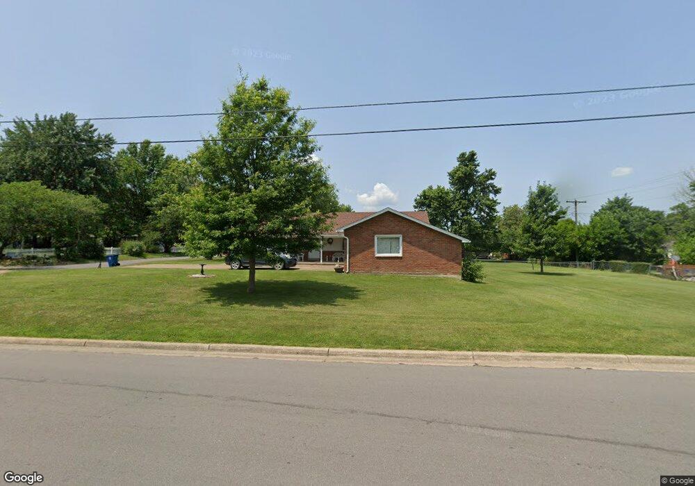
10 Willow Ln Lebanon, MO 65536
Estimated Value: $150,299 - $180,000
2
Beds
--
Bath
1,641
Sq Ft
$98/Sq Ft
Est. Value
About This Home
This home is located at 10 Willow Ln, Lebanon, MO 65536 and is currently estimated at $161,575, approximately $98 per square foot. 10 Willow Ln is a home located in Laclede County with nearby schools including Joe D. Esther Elementary School, Maplecrest Elementary School, and Boswell Elementary School.
Ownership History
Date
Name
Owned For
Owner Type
Purchase Details
Closed on
May 19, 2020
Sold by
Humphreys Sandra and Humphreys Jerald
Bought by
Humphreys Sandra and Mcdowell Rebecca
Current Estimated Value
Purchase Details
Closed on
Apr 29, 2020
Sold by
Mondo Enterprises Llc
Bought by
Graham Monica L
Purchase Details
Closed on
Apr 27, 2020
Sold by
Graham Monica L and Graham Billy L
Bought by
2G Enterprises Llc
Purchase Details
Closed on
Dec 11, 2012
Sold by
Us Bank National Association
Bought by
Nathan Cole Estate Llc
Home Financials for this Owner
Home Financials are based on the most recent Mortgage that was taken out on this home.
Original Mortgage
$21,600
Interest Rate
3.41%
Mortgage Type
Future Advance Clause Open End Mortgage
Purchase Details
Closed on
Sep 24, 2009
Sold by
Bowman Correll Barbara E
Bought by
Humphreys Sandra
Create a Home Valuation Report for This Property
The Home Valuation Report is an in-depth analysis detailing your home's value as well as a comparison with similar homes in the area
Home Values in the Area
Average Home Value in this Area
Purchase History
| Date | Buyer | Sale Price | Title Company |
|---|---|---|---|
| Humphreys Sandra | -- | None Available | |
| Graham Monica L | -- | None Available | |
| 2G Enterprises Llc | -- | None Available | |
| Nathan Cole Estate Llc | -- | None Available | |
| Humphreys Sandra | -- | None Available |
Source: Public Records
Mortgage History
| Date | Status | Borrower | Loan Amount |
|---|---|---|---|
| Previous Owner | Nathan Cole Estate Llc | $21,600 |
Source: Public Records
Tax History
| Year | Tax Paid | Tax Assessment Tax Assessment Total Assessment is a certain percentage of the fair market value that is determined by local assessors to be the total taxable value of land and additions on the property. | Land | Improvement |
|---|---|---|---|---|
| 2025 | $704 | $13,910 | $0 | $0 |
| 2024 | $704 | $12,350 | $0 | $0 |
| 2023 | $726 | $12,350 | $0 | $0 |
| 2022 | $676 | $12,350 | $0 | $0 |
| 2021 | $745 | $12,350 | $1,900 | $10,450 |
| 2020 | $748 | $12,350 | $1,900 | $10,450 |
| 2019 | $717 | $12,350 | $1,900 | $10,450 |
| 2018 | $673 | $12,350 | $1,900 | $10,450 |
| 2017 | $638 | $12,350 | $0 | $0 |
| 2016 | $638 | $12,350 | $0 | $0 |
| 2015 | $638 | $12,350 | $0 | $0 |
| 2014 | $638 | $12,350 | $0 | $0 |
| 2013 | -- | $12,350 | $0 | $0 |
Source: Public Records
Map
Nearby Homes
- 100 State Highway 32
- 14300 State Highway 32
- O State Highway 32
- 000 State Highway 32
- 22781 U S Route 66
- 000 #25 U S Route 66
- 000-#72 U S Route 66
- 000#72 U S Route 66
- 000#25 U S Route 66
- 1161 Enfield Dr
- 406 Perry St
- 545 W Pierce St
- 5-Tbd Utah St
- 113 Cedar Crest Dr
- 000 U S Route 66
- 1507 Finn Dr
- 490 Texas Ave
- 480 Texas Ave
- 1900 Highland St
- 1 Ice Cream Way