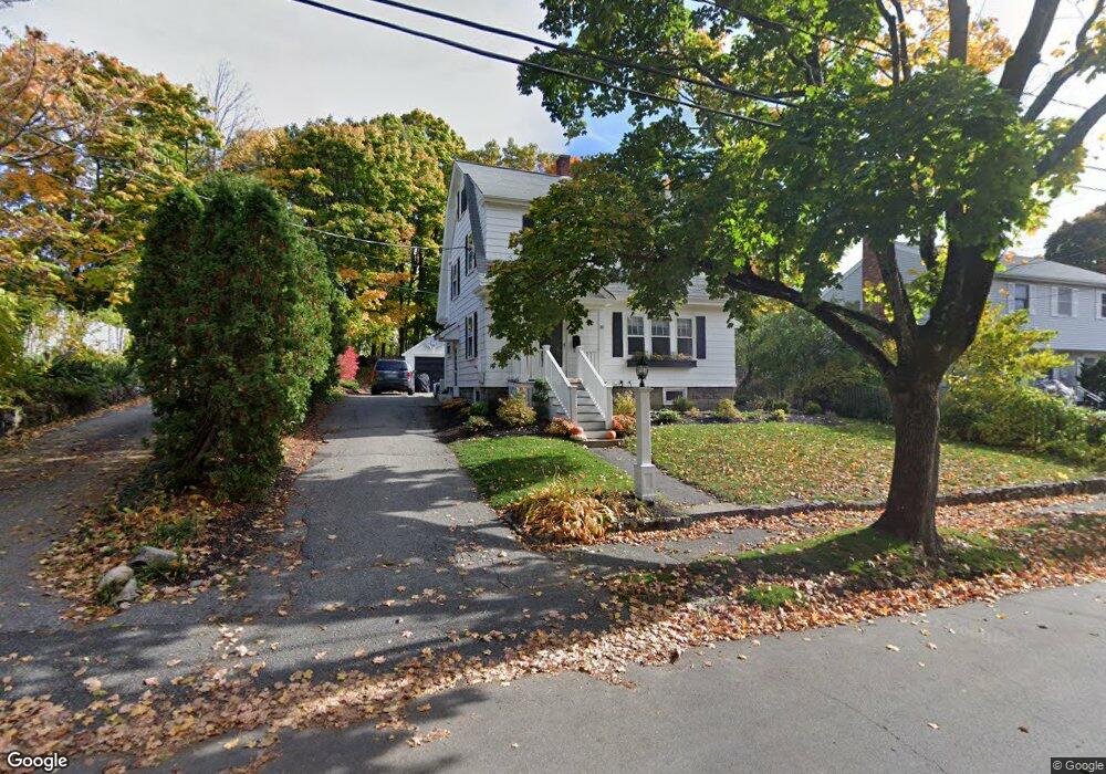
10 Wilson St Reading, MA 01867
Estimated Value: $766,000 - $821,000
3
Beds
2
Baths
1,484
Sq Ft
$539/Sq Ft
Est. Value
About This Home
This home is located at 10 Wilson St, Reading, MA 01867 and is currently estimated at $800,314, approximately $539 per square foot. 10 Wilson St is a home located in Middlesex County with nearby schools including J. Warren Killam Elementary School, Walter S. Parker Middle School, and Reading Memorial High School.
Ownership History
Date
Name
Owned For
Owner Type
Purchase Details
Closed on
Jun 12, 2025
Sold by
Keaveney Kristi L and Keaveney Brian E
Bought by
Keaveney
Current Estimated Value
Purchase Details
Closed on
Oct 31, 2001
Sold by
Chasse Alan C and Chasse Lauren B
Bought by
Keaveney Kristi I and Keaveney Brian E
Purchase Details
Closed on
Feb 12, 1987
Sold by
Anderson F H
Bought by
Chasse Alan
Create a Home Valuation Report for This Property
The Home Valuation Report is an in-depth analysis detailing your home's value as well as a comparison with similar homes in the area
Home Values in the Area
Average Home Value in this Area
Purchase History
| Date | Buyer | Sale Price | Title Company |
|---|---|---|---|
| Keaveney | -- | -- | |
| Keaveney | -- | -- | |
| Keaveney Kristi I | $344,400 | -- | |
| Keaveney Kristi I | $344,400 | -- | |
| Chasse Alan | $165,000 | -- |
Source: Public Records
Mortgage History
| Date | Status | Borrower | Loan Amount |
|---|---|---|---|
| Previous Owner | Chasse Alan | $333,000 | |
| Previous Owner | Chasse Alan | $272,600 |
Source: Public Records
Tax History
| Year | Tax Paid | Tax Assessment Tax Assessment Total Assessment is a certain percentage of the fair market value that is determined by local assessors to be the total taxable value of land and additions on the property. | Land | Improvement |
|---|---|---|---|---|
| 2025 | $8,702 | $764,000 | $412,600 | $351,400 |
| 2024 | $8,424 | $718,800 | $388,000 | $330,800 |
| 2023 | $8,264 | $656,400 | $354,100 | $302,300 |
| 2022 | $7,617 | $571,400 | $307,900 | $263,500 |
| 2021 | $7,268 | $526,300 | $282,100 | $244,200 |
| 2020 | $23,899 | $501,100 | $268,500 | $232,600 |
| 2019 | $132 | $478,000 | $256,000 | $222,000 |
| 2018 | $131 | $446,700 | $239,100 | $207,600 |
| 2017 | $124 | $425,200 | $227,500 | $197,700 |
| 2016 | $6,221 | $429,000 | $260,600 | $168,400 |
| 2015 | $5,831 | $396,700 | $240,800 | $155,900 |
| 2014 | $5,651 | $383,400 | $232,600 | $150,800 |
Source: Public Records
Map
Nearby Homes
- 41 Winter St
- 48 Village St Unit 1001
- 141 Belmont St
- 27 Audubon Rd
- 44 Grandview Rd
- 50 Quannapowitt Pkwy
- 5 Washington St Unit D4
- 5 Washington St Unit A5
- 269 Main St Unit 4001
- 90 Sunnyside Ave
- 20 Pinevale Ave
- 241 Main St Unit C3
- 18 Symonds Way
- 50 Forest St
- 1 Pennsylvania Ave
- 0 Charles St Unit 72374573
- 101 King St Unit 101
- 270 Lowell St
- 1 Summit Dr Unit 57
- 1014 Gazebo Cir Unit 1014
Your Personal Tour Guide
Ask me questions while you tour the home.