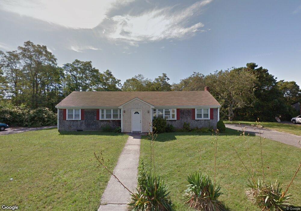
10 Windswept Rd Unit 10B East Falmouth, MA 02536
Estimated Value: $592,128 - $914,000
2
Beds
1
Bath
750
Sq Ft
$956/Sq Ft
Est. Value
About This Home
This home is located at 10 Windswept Rd Unit 10B, East Falmouth, MA 02536 and is currently estimated at $717,282, approximately $956 per square foot. 10 Windswept Rd Unit 10B is a home located in Barnstable County with nearby schools including Teaticket Elementary School, Morse Pond School, and Lawrence School.
Ownership History
Date
Name
Owned For
Owner Type
Purchase Details
Closed on
Dec 18, 1998
Sold by
Pimental Margaret V
Bought by
Meserve Timothy and Meserve Deborah A
Current Estimated Value
Home Financials for this Owner
Home Financials are based on the most recent Mortgage that was taken out on this home.
Original Mortgage
$68,950
Interest Rate
6.85%
Mortgage Type
Purchase Money Mortgage
Create a Home Valuation Report for This Property
The Home Valuation Report is an in-depth analysis detailing your home's value as well as a comparison with similar homes in the area
Home Values in the Area
Average Home Value in this Area
Purchase History
| Date | Buyer | Sale Price | Title Company |
|---|---|---|---|
| Meserve Timothy | $98,500 | -- |
Source: Public Records
Mortgage History
| Date | Status | Borrower | Loan Amount |
|---|---|---|---|
| Open | Meserve Timothy | $147,500 | |
| Closed | Meserve Timothy | $68,950 |
Source: Public Records
Tax History Compared to Growth
Tax History
| Year | Tax Paid | Tax Assessment Tax Assessment Total Assessment is a certain percentage of the fair market value that is determined by local assessors to be the total taxable value of land and additions on the property. | Land | Improvement |
|---|---|---|---|---|
| 2025 | $3,316 | $564,900 | $182,400 | $382,500 |
| 2024 | $2,996 | $477,000 | $165,000 | $312,000 |
| 2023 | $2,443 | $353,000 | $165,000 | $188,000 |
| 2022 | $2,336 | $290,200 | $103,900 | $186,300 |
| 2021 | $2,314 | $272,200 | $99,300 | $172,900 |
| 2020 | $2,261 | $263,200 | $90,300 | $172,900 |
| 2019 | $2,196 | $256,500 | $90,300 | $166,200 |
| 2018 | $2,115 | $245,900 | $90,300 | $155,600 |
| 2017 | $2,032 | $238,200 | $90,300 | $147,900 |
| 2016 | $1,994 | $238,200 | $90,300 | $147,900 |
| 2015 | $1,951 | $238,200 | $90,300 | $147,900 |
| 2014 | $2,011 | $246,700 | $94,900 | $151,800 |
Source: Public Records
Map
Nearby Homes
- 25 Mill Farm Way Unit 25
- 25 Mill Farm Way
- 22 Mill Farm Way Unit 22
- 22 Mill Farm Way Unit 2
- 67 Vidal Ave
- 336 Old Barnstable Rd
- 14 Old Meeting House Rd
- 25 Mill Pond Way
- 24 Putter Dr
- 14 Sharon Dr
- 0 Elsies Way Unit 73443603
- 0 Elsies Way Unit 22505181
- 35 Old Barnstable Rd
- 33 John Parker Rd
- 16 Annette Ave
- 27 Emerald Ln
- 45 Green Pond Rd
- 28 Chilmark Dr
- 33 Chilmark Dr Unit 33
- 8 Dylans Way
- 10 Windswept Rd
- 15 Pine Ridge Rd
- 12 Windswept Rd
- 21 Pine Ridge Rd
- 11 Pine Ridge Rd
- 206 Old Barnstable Rd
- 5 Windswept Rd
- 17 Windswept Rd
- 14 Windswept Rd
- 3 Pine Ridge Rd
- 26 Pine Ridge Rd
- 39 Crocker Rd
- 222 Old Barnstable Rd
- 203 Old Barnstable Rd
- 16 Windswept Rd
- 34 Pineridge Rd
- 23 Windswept Rd
- 34 Pine Ridge Rd
- 0 Old Waquoit Rd
- 195 Old Barnstable Rd