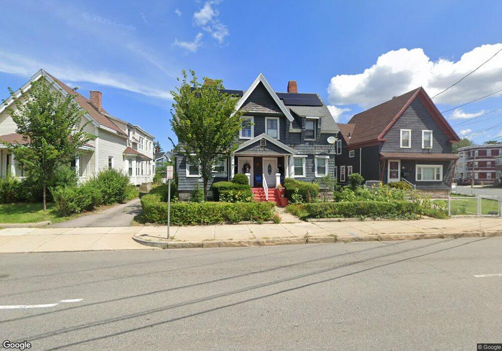
10 Winthrop Ave Unit 12 Lawrence, MA 01843
South Common NeighborhoodEstimated Value: $510,002 - $914,000
6
Beds
4
Baths
2,736
Sq Ft
$273/Sq Ft
Est. Value
About This Home
This home is located at 10 Winthrop Ave Unit 12, Lawrence, MA 01843 and is currently estimated at $747,251, approximately $273 per square foot. 10 Winthrop Ave Unit 12 is a home located in Essex County with nearby schools including John Breen School, South Lawrence East Elementary School, and School For Exceptional Studies.
Ownership History
Date
Name
Owned For
Owner Type
Purchase Details
Closed on
Oct 24, 2011
Sold by
Est Gallant Mary L and Loosigian Peter
Bought by
Cespedes Belen
Current Estimated Value
Home Financials for this Owner
Home Financials are based on the most recent Mortgage that was taken out on this home.
Original Mortgage
$215,397
Outstanding Balance
$147,968
Interest Rate
4.25%
Mortgage Type
FHA
Estimated Equity
$599,283
Create a Home Valuation Report for This Property
The Home Valuation Report is an in-depth analysis detailing your home's value as well as a comparison with similar homes in the area
Home Values in the Area
Average Home Value in this Area
Purchase History
| Date | Buyer | Sale Price | Title Company |
|---|---|---|---|
| Cespedes Belen | $221,000 | -- |
Source: Public Records
Mortgage History
| Date | Status | Borrower | Loan Amount |
|---|---|---|---|
| Open | Cespedes Belen | $215,397 |
Source: Public Records
Tax History
| Year | Tax Paid | Tax Assessment Tax Assessment Total Assessment is a certain percentage of the fair market value that is determined by local assessors to be the total taxable value of land and additions on the property. | Land | Improvement |
|---|---|---|---|---|
| 2025 | $5,485 | $623,300 | $123,800 | $499,500 |
| 2024 | $5,524 | $597,200 | $134,000 | $463,200 |
| 2023 | $5,487 | $540,100 | $124,300 | $415,800 |
| 2022 | $5,222 | $456,500 | $112,700 | $343,800 |
| 2021 | $4,971 | $405,100 | $112,700 | $292,400 |
| 2020 | $4,782 | $384,700 | $106,800 | $277,900 |
| 2019 | $4,960 | $362,600 | $88,700 | $273,900 |
| 2018 | $4,667 | $325,900 | $84,000 | $241,900 |
| 2017 | $4,208 | $274,300 | $79,400 | $194,900 |
| 2016 | $3,569 | $230,100 | $65,300 | $164,800 |
| 2015 | $3,500 | $231,500 | $65,300 | $166,200 |
Source: Public Records
Map
Nearby Homes
- 31 Garfield St
- 46-46A Dorchester St
- 27-29 Dorchester St
- 356-360 S Union St
- 183 Farnham St Unit 189
- 100 Bailey St Unit 1
- 100 Bailey St Unit 3
- 161-167 S Union St
- 151-153 Bailey St
- 119 Andover St
- 91-93 Andover St
- 82 S Broadway
- 49 Bowdoin St Unit 51
- 341 S Broadway- Parcel II
- 24 Inman St Unit 4
- 87-87A Brookfield St
- 91-93 Newton St
- 11 W Hawley St
- 33-35 Coolidge St
- 543 Andover St Unit 6
- 12 Winthrop Ave
- 14 Winthrop Ave
- 6 Winthrop Ave
- 169 Boxford St
- 169 Boxford St Unit 175
- 271 Andover St
- 265 Andover St
- 259 Andover St
- 161 Boxford St Unit 163
- 18 Winthrop Ave
- 180 Boxford St
- 11-15 Winthrop Ave
- 11 Winthrop Ave Unit 15
- 17 Winthrop Ave Unit 19
- 19 Winthrop Ave
- 155 Boxford St Unit 157
- 170 Boxford St Unit 172
- 192 Boxford St
- 192 Boxford St Unit 1
- 251 Andover St Unit 253
Your Personal Tour Guide
Ask me questions while you tour the home.