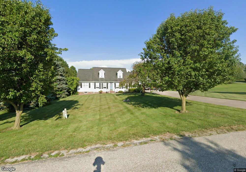
10 Woodcrest Cir Unit 19A Littlestown, PA 17340
Estimated Value: $409,000 - $513,000
3
Beds
2
Baths
2,529
Sq Ft
$178/Sq Ft
Est. Value
About This Home
This home is located at 10 Woodcrest Cir Unit 19A, Littlestown, PA 17340 and is currently estimated at $450,154, approximately $177 per square foot. 10 Woodcrest Cir Unit 19A is a home located in Adams County with nearby schools including Rolling Acres El School, Maple Avenue Middle School, and Littlestown Senior High School.
Ownership History
Date
Name
Owned For
Owner Type
Purchase Details
Closed on
May 29, 2007
Sold by
Vannoy Howard H and Vannoy Mary B
Bought by
Poseno Roger L and Poseno Lois M
Current Estimated Value
Home Financials for this Owner
Home Financials are based on the most recent Mortgage that was taken out on this home.
Original Mortgage
$80,000
Outstanding Balance
$48,952
Interest Rate
6.19%
Mortgage Type
New Conventional
Estimated Equity
$401,202
Create a Home Valuation Report for This Property
The Home Valuation Report is an in-depth analysis detailing your home's value as well as a comparison with similar homes in the area
Home Values in the Area
Average Home Value in this Area
Purchase History
| Date | Buyer | Sale Price | Title Company |
|---|---|---|---|
| Poseno Roger L | $320,000 | -- |
Source: Public Records
Mortgage History
| Date | Status | Borrower | Loan Amount |
|---|---|---|---|
| Open | Poseno Roger L | $80,000 |
Source: Public Records
Tax History Compared to Growth
Tax History
| Year | Tax Paid | Tax Assessment Tax Assessment Total Assessment is a certain percentage of the fair market value that is determined by local assessors to be the total taxable value of land and additions on the property. | Land | Improvement |
|---|---|---|---|---|
| 2025 | $5,391 | $284,800 | $76,000 | $208,800 |
| 2024 | $5,153 | $284,800 | $76,000 | $208,800 |
| 2023 | $5,051 | $284,800 | $76,000 | $208,800 |
| 2022 | $5,048 | $284,800 | $76,000 | $208,800 |
| 2021 | $4,870 | $284,800 | $76,000 | $208,800 |
| 2020 | $4,800 | $284,800 | $76,000 | $208,800 |
| 2019 | $4,698 | $284,800 | $76,000 | $208,800 |
| 2018 | $4,596 | $284,800 | $76,000 | $208,800 |
| 2017 | $4,437 | $284,800 | $76,000 | $208,800 |
| 2016 | -- | $284,800 | $76,000 | $208,800 |
| 2015 | -- | $284,800 | $76,000 | $208,800 |
| 2014 | -- | $284,800 | $76,000 | $208,800 |
Source: Public Records
Map
Nearby Homes
- LOT 9 Mehring Rd
- 1175 Bollinger Rd
- 567 Lumber St
- 559 Lumber St
- 535 Lumber St
- 43 Ashfield Dr Unit 14
- 128 Pine Grove Rd Unit 3
- 1 Hickory Ln
- 2100 Blacks School House Rd
- 241 M St
- 41 Smith Cir
- 61 E King St
- 106 E King St
- 22 Cemetery St
- 700 Pine Grove Rd
- 115 Charles St
- 117 Charles St
- 1555 Humbert Schoolhouse Rd
- 893 Georgetown Rd
- 15 Yorktowne Ct Unit 97
- 115 Valleyview Dr
- 20 Woodcrest Cir Unit 26
- 60 Juniper Dr Unit 18
- 15 Woodcrest Cir Unit 20
- 25 Woodcrest Cir
- 40 Juniper Dr Unit 17
- 30 Woodcrest Cir Unit 25
- 120 Valleyview Dr Unit 13
- 110 Valleyview Dr Unit 12
- 35 Woodcrest Cir Unit 24
- 45 Valleyview Dr Unit 21
- 155 Valleyview Dr
- 45 Juniper Dr Unit 16
- 610 Bollinger Rd Unit 8
- 620 Bollinger Rd Unit 9
- 150 Valleyview Dr Unit 14
- 596 Bollinger Rd
- 590 Bollinger Rd Unit 3
- 650 Bollinger Rd
- 670 Mehring Rd