10 Woods Ln Unit 10 Simsbury, CT 06070
Estimated Value: $316,000 - $363,000
2
Beds
2
Baths
1,248
Sq Ft
$272/Sq Ft
Est. Value
About This Home
This home is located at 10 Woods Ln Unit 10, Simsbury, CT 06070 and is currently estimated at $339,749, approximately $272 per square foot. 10 Woods Ln Unit 10 is a home located in Hartford County with nearby schools including Central School, Henry James Memorial School, and Simsbury High School.
Ownership History
Date
Name
Owned For
Owner Type
Purchase Details
Closed on
Jun 17, 2021
Sold by
Milka Terrence M and Milka Rebecca A
Bought by
Edwards Allison
Current Estimated Value
Purchase Details
Closed on
Aug 30, 1993
Sold by
Volle Robert and Volle Beth
Bought by
Milka Terrance and Milka Rebecca
Create a Home Valuation Report for This Property
The Home Valuation Report is an in-depth analysis detailing your home's value as well as a comparison with similar homes in the area
Home Values in the Area
Average Home Value in this Area
Purchase History
| Date | Buyer | Sale Price | Title Company |
|---|---|---|---|
| Edwards Allison | $232,000 | None Available | |
| Milka Terrance | $121,250 | -- |
Source: Public Records
Mortgage History
| Date | Status | Borrower | Loan Amount |
|---|---|---|---|
| Previous Owner | Milka Terrance | $25,000 | |
| Previous Owner | Milka Terrance | $10,000 | |
| Previous Owner | Milka Terrance | $141,000 |
Source: Public Records
Tax History Compared to Growth
Tax History
| Year | Tax Paid | Tax Assessment Tax Assessment Total Assessment is a certain percentage of the fair market value that is determined by local assessors to be the total taxable value of land and additions on the property. | Land | Improvement |
|---|---|---|---|---|
| 2025 | $5,378 | $157,430 | $66,500 | $90,930 |
| 2024 | $5,244 | $157,430 | $66,500 | $90,930 |
| 2023 | $5,009 | $157,430 | $66,500 | $90,930 |
| 2022 | $4,737 | $122,620 | $69,820 | $52,800 |
| 2021 | $4,737 | $122,620 | $69,820 | $52,800 |
| 2020 | $4,548 | $122,620 | $69,820 | $52,800 |
| 2019 | $4,576 | $122,620 | $69,820 | $52,800 |
| 2018 | $4,609 | $122,620 | $69,820 | $52,800 |
| 2017 | $4,376 | $112,910 | $67,030 | $45,880 |
| 2016 | $4,191 | $112,910 | $67,030 | $45,880 |
| 2015 | $4,191 | $112,910 | $67,030 | $45,880 |
| 2014 | $4,193 | $112,910 | $67,030 | $45,880 |
Source: Public Records
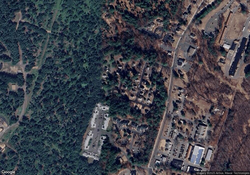
Map
Nearby Homes
- 3 Stebbins Brook Ln
- 4 Stebbins Brook Ln
- 15 Wiggins Farm Dr Unit H
- 40 Woodland St
- 6 Mill Pond Ln Unit B
- 1 West St Unit 322
- 1 West St Unit 206
- 20 Southbridge Ct
- 2 Southbridge Ct
- 75 Stratton Forest Way
- 23 Stratton Forest Way
- 17 Prospect Ridge
- 37 Farms Village Rd
- 64 E Weatogue St
- 15 Sand Hill Rd
- 35 Beldenwood Rd
- 16 Springbrook Ln
- 308 Hopmeadow St
- 12 Simsbury Manor Dr
- 177 Stratton Brook Rd