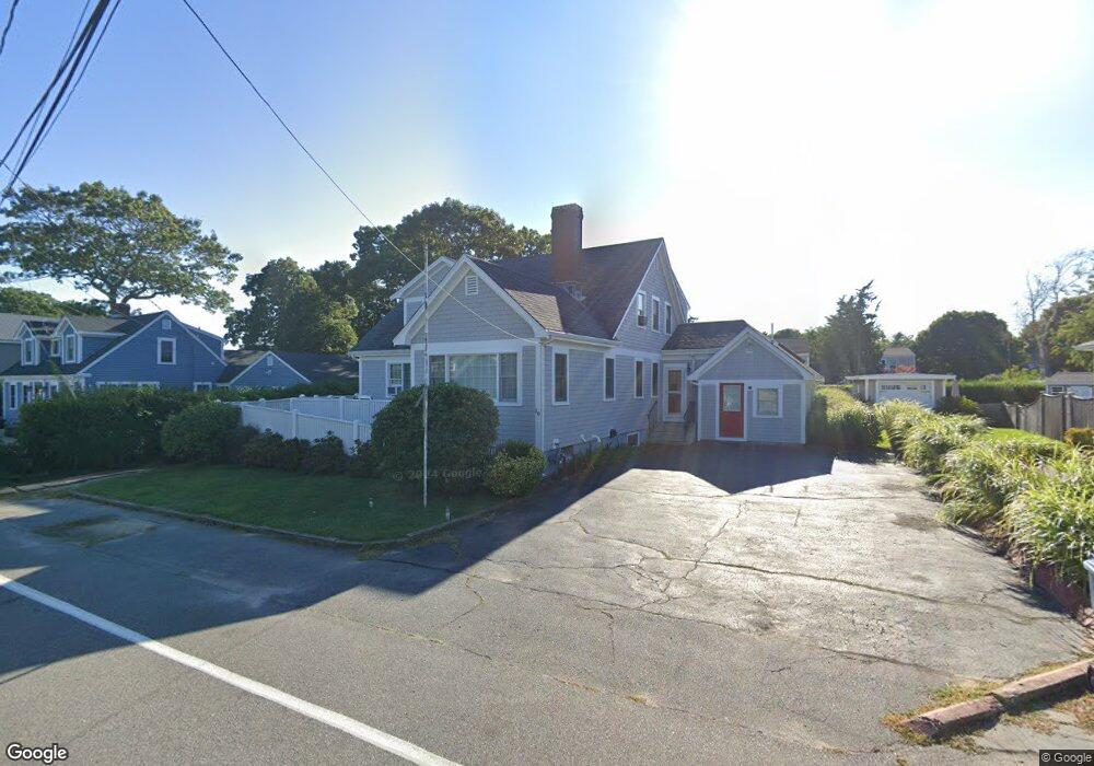
10 Worcester Ct Falmouth, MA 02540
Falmouth Village NeighborhoodEstimated Value: $1,607,000 - $2,124,185
8
Beds
8
Baths
2,541
Sq Ft
$749/Sq Ft
Est. Value
About This Home
This home is located at 10 Worcester Ct, Falmouth, MA 02540 and is currently estimated at $1,902,046, approximately $748 per square foot. 10 Worcester Ct is a home located in Barnstable County with nearby schools including Mullen-Hall School, Morse Pond School, and Lawrence School.
Ownership History
Date
Name
Owned For
Owner Type
Purchase Details
Closed on
Jul 11, 2003
Sold by
Beach House Rt and Rollings
Bought by
Greenleaf Group Llc
Current Estimated Value
Home Financials for this Owner
Home Financials are based on the most recent Mortgage that was taken out on this home.
Original Mortgage
$416,800
Outstanding Balance
$186,011
Interest Rate
5.69%
Estimated Equity
$1,716,035
Purchase Details
Closed on
Jun 24, 1994
Sold by
Faulkner Richard L and Faulkner Gloria J
Bought by
Beach House Rt and Rollins
Create a Home Valuation Report for This Property
The Home Valuation Report is an in-depth analysis detailing your home's value as well as a comparison with similar homes in the area
Home Values in the Area
Average Home Value in this Area
Purchase History
| Date | Buyer | Sale Price | Title Company |
|---|---|---|---|
| Greenleaf Group Llc | $800,000 | -- | |
| Beach House Rt | $198,000 | -- |
Source: Public Records
Mortgage History
| Date | Status | Borrower | Loan Amount |
|---|---|---|---|
| Open | Beach House Rt | $416,800 | |
| Previous Owner | Beach House Rt | $400,000 | |
| Previous Owner | Beach House Rt | $240,000 |
Source: Public Records
Tax History Compared to Growth
Tax History
| Year | Tax Paid | Tax Assessment Tax Assessment Total Assessment is a certain percentage of the fair market value that is determined by local assessors to be the total taxable value of land and additions on the property. | Land | Improvement |
|---|---|---|---|---|
| 2025 | $9,721 | $1,656,100 | $712,000 | $944,100 |
| 2024 | $9,358 | $1,490,100 | $647,300 | $842,800 |
| 2023 | $9,189 | $1,327,900 | $647,300 | $680,600 |
| 2022 | $7,739 | $961,400 | $432,100 | $529,300 |
| 2021 | $7,530 | $885,900 | $413,300 | $472,600 |
| 2020 | $7,266 | $845,900 | $375,700 | $470,200 |
| 2019 | $7,155 | $835,900 | $375,700 | $460,200 |
| 2018 | $6,822 | $793,200 | $375,700 | $417,500 |
| 2017 | $6,663 | $781,100 | $375,700 | $405,400 |
| 2016 | $6,538 | $781,100 | $375,700 | $405,400 |
| 2015 | $6,287 | $767,600 | $375,700 | $391,900 |
| 2014 | $6,160 | $755,800 | $375,700 | $380,100 |
Source: Public Records
Map
Nearby Homes
- 55 Jericho Path
- 200 Grand Ave
- 286 Grand Ave Unit 6
- 286 Grand Ave Unit 8
- 286 Grand Ave Unit 4
- 29 Miami Ave
- 9 Fairmount Ave Unit 1
- 9 Fairmount Ave
- 22 Alma Rd
- 61 Menauhant Rd
- 253 Scranton Ave
- 27 Sycamore St
- 480 Main St Unit 1
- 110 Dillingham Ave Unit 322
- 65 Cypress St
- 106 Beach St
- 214 Menauhant Rd
- Lot 2 Pine Grove Ave
- 20 Swallow St
- 1 Cuttysark Rd
- 14 Worcester Ct
- 8 Worcester Ct
- 14 Worcester Ct
- 60 Harbor Ave
- 16 Worcester Ct
- 6 Worcester Ct
- 18 Worcester Ct
- 54 Harbor Ave
- 54 Harbor Ave Unit 1
- 5 Pennsylvania Ct
- 83 Harbor Ave
- 2 Worcester Ct
- 76 Grand Ave
- 15 Worcester Ct
- 15 Worcester Ct
- 76 Grand Ave
- 22 Worcester Ct
- 72 Grand Ave
- 74 Grand Ave
- 74 Grand Ave Unit 1