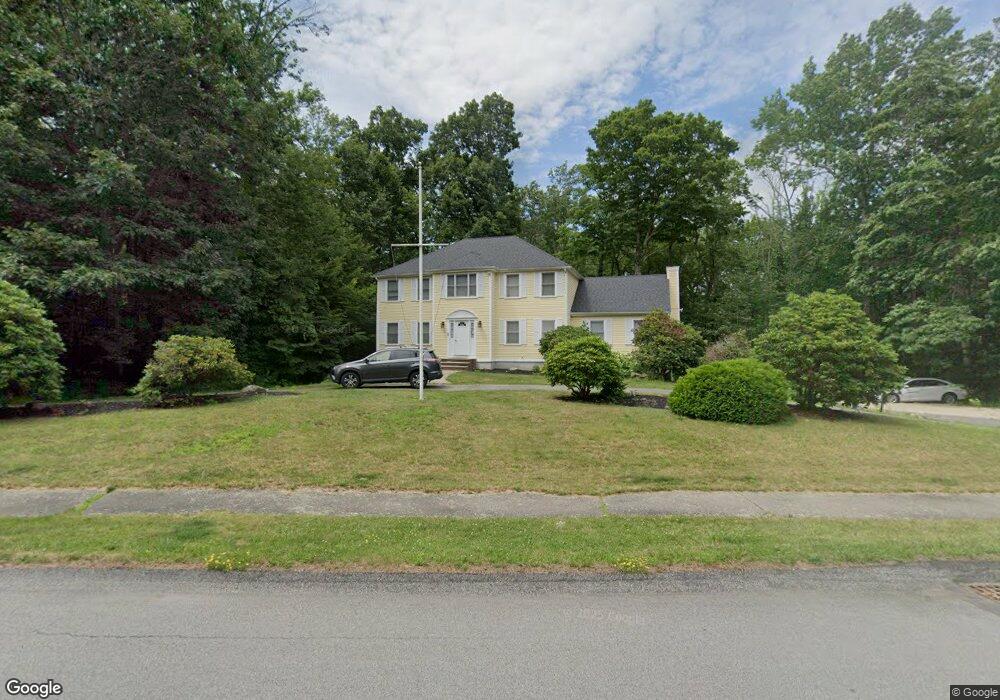
10 York Brook Rd Canton, MA 02021
Estimated Value: $1,120,451 - $1,418,000
5
Beds
4
Baths
2,744
Sq Ft
$458/Sq Ft
Est. Value
About This Home
This home is located at 10 York Brook Rd, Canton, MA 02021 and is currently estimated at $1,256,613, approximately $457 per square foot. 10 York Brook Rd is a home located in Norfolk County.
Ownership History
Date
Name
Owned For
Owner Type
Purchase Details
Closed on
Oct 30, 2006
Sold by
Crosby Alan D and Crosby Sondra S
Bought by
Dumornay Stephen and Dumornay Marie A
Current Estimated Value
Home Financials for this Owner
Home Financials are based on the most recent Mortgage that was taken out on this home.
Original Mortgage
$561,000
Outstanding Balance
$336,849
Interest Rate
6.48%
Mortgage Type
Purchase Money Mortgage
Estimated Equity
$919,764
Purchase Details
Closed on
Apr 5, 1996
Sold by
Casey Sean E
Bought by
Crosby Alan D and Crosby Sondra S
Home Financials for this Owner
Home Financials are based on the most recent Mortgage that was taken out on this home.
Original Mortgage
$313,200
Interest Rate
7.31%
Mortgage Type
Purchase Money Mortgage
Purchase Details
Closed on
Dec 30, 1994
Sold by
Heafitz Lewis
Bought by
Casey Sean E
Create a Home Valuation Report for This Property
The Home Valuation Report is an in-depth analysis detailing your home's value as well as a comparison with similar homes in the area
Home Values in the Area
Average Home Value in this Area
Purchase History
| Date | Buyer | Sale Price | Title Company |
|---|---|---|---|
| Dumornay Stephen | $660,000 | -- | |
| Crosby Alan D | $348,000 | -- | |
| Casey Sean E | $120,000 | -- |
Source: Public Records
Mortgage History
| Date | Status | Borrower | Loan Amount |
|---|---|---|---|
| Open | Dumornay Stephen | $561,000 | |
| Previous Owner | Casey Sean E | $397,500 | |
| Previous Owner | Casey Sean E | $313,200 | |
| Previous Owner | Casey Sean E | $72,000 |
Source: Public Records
Tax History Compared to Growth
Tax History
| Year | Tax Paid | Tax Assessment Tax Assessment Total Assessment is a certain percentage of the fair market value that is determined by local assessors to be the total taxable value of land and additions on the property. | Land | Improvement |
|---|---|---|---|---|
| 2025 | $9,991 | $1,010,200 | $375,500 | $634,700 |
| 2024 | $9,689 | $971,800 | $361,100 | $610,700 |
| 2023 | $9,305 | $880,300 | $361,100 | $519,200 |
| 2022 | $9,340 | $822,900 | $343,900 | $479,000 |
| 2021 | $9,090 | $745,100 | $312,500 | $432,600 |
| 2020 | $9,078 | $742,300 | $329,800 | $412,500 |
| 2019 | $8,984 | $724,500 | $299,700 | $424,800 |
| 2018 | $8,976 | $722,700 | $313,900 | $408,800 |
| 2017 | $9,132 | $714,000 | $307,700 | $406,300 |
| 2016 | $8,977 | $701,900 | $300,200 | $401,700 |
| 2015 | $8,756 | $683,000 | $291,500 | $391,500 |
Source: Public Records
Map
Nearby Homes
- 43 Ledgebrook Ave
- 11 Ledgewood Dr
- 545 Page St Unit 208
- 30 Manitou Rd
- 50 Indian Ln
- 106 Indian Ln
- Lot 2 Pondview Ln
- Lot 1 Pondview Ln
- 98 Glen Echo Blvd
- 280 Deady Ave
- 1000 Pleasant St
- 19 Camelot Ct
- 68 High St
- 79 Gold St
- 17 Mazzeo Dr
- 888 Turnpike St
- 3 Spotted Turtle Path Unit 24-2
- 0 Washington St Unit 72888098
- 0 Washington St Unit 71897113
- 631 Page St