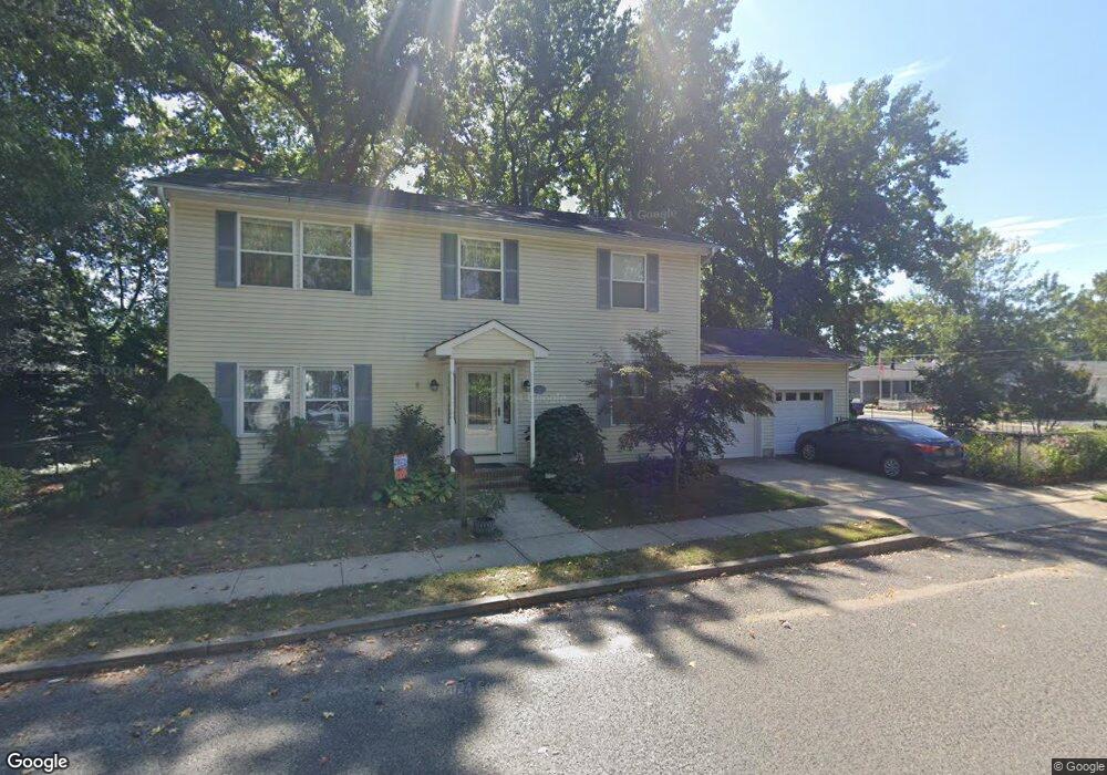
100 11th St Keansburg, NJ 07734
Estimated Value: $580,000 - $655,000
4
Beds
2
Baths
2,160
Sq Ft
$284/Sq Ft
Est. Value
About This Home
This home is located at 100 11th St, Keansburg, NJ 07734 and is currently estimated at $612,679, approximately $283 per square foot. 100 11th St is a home located in Monmouth County with nearby schools including Raritan High School, Baytul-Iman Academy, and St. Ann School.
Ownership History
Date
Name
Owned For
Owner Type
Purchase Details
Closed on
Oct 12, 2017
Sold by
Rakoncza Carol T and Rakoncza Nicholas
Bought by
Rakoncza Carol T
Current Estimated Value
Home Financials for this Owner
Home Financials are based on the most recent Mortgage that was taken out on this home.
Original Mortgage
$230,000
Outstanding Balance
$191,908
Interest Rate
3.78%
Mortgage Type
New Conventional
Estimated Equity
$420,771
Purchase Details
Closed on
Oct 1, 1985
Bought by
Rakoncza Nicholas F and Rakoncza Carol T
Create a Home Valuation Report for This Property
The Home Valuation Report is an in-depth analysis detailing your home's value as well as a comparison with similar homes in the area
Home Values in the Area
Average Home Value in this Area
Purchase History
| Date | Buyer | Sale Price | Title Company |
|---|---|---|---|
| Rakoncza Carol T | -- | American Land Title | |
| Rakoncza Nicholas F | $59,900 | -- |
Source: Public Records
Mortgage History
| Date | Status | Borrower | Loan Amount |
|---|---|---|---|
| Open | Rakoncza Carol T | $230,000 |
Source: Public Records
Tax History Compared to Growth
Tax History
| Year | Tax Paid | Tax Assessment Tax Assessment Total Assessment is a certain percentage of the fair market value that is determined by local assessors to be the total taxable value of land and additions on the property. | Land | Improvement |
|---|---|---|---|---|
| 2025 | $10,090 | $514,900 | $258,300 | $256,600 |
| 2024 | $9,971 | $479,800 | $224,300 | $255,500 |
| 2023 | $9,971 | $466,600 | $213,300 | $253,300 |
| 2022 | $9,585 | $394,800 | $171,800 | $223,000 |
| 2021 | $9,585 | $373,700 | $160,300 | $213,400 |
| 2020 | $9,422 | $364,900 | $156,300 | $208,600 |
| 2019 | $9,199 | $350,700 | $143,300 | $207,400 |
| 2018 | $8,887 | $336,000 | $138,300 | $197,700 |
| 2017 | $8,485 | $320,800 | $130,000 | $190,800 |
| 2016 | $8,327 | $316,000 | $130,000 | $186,000 |
| 2015 | $8,247 | $313,800 | $130,000 | $183,800 |
| 2014 | $8,081 | $288,400 | $108,300 | $180,100 |
Source: Public Records
Map
Nearby Homes
- 115 10th St
- 115 10th St Unit 11-113
- 261 State Route 36
- 158 9th St
- 55 11th St
- 330 State Route 36
- 5 Justin Ct Unit 96
- 5 Justin Ct
- 45 8th St
- 1 Robin Rd
- 30 Randall Ave Unit 63
- 32 Randall Ave Unit 65
- 34 Randall Ave Unit 67
- 46 Randall Ave
- 10 Robin
- 66 Bayshore Mobile Manor
- 53 Bayshore Mobile Manor
- 35 Randall Ave Unit 68
- 37 Randall Ave
- 32 Bayshore Mobile Manor