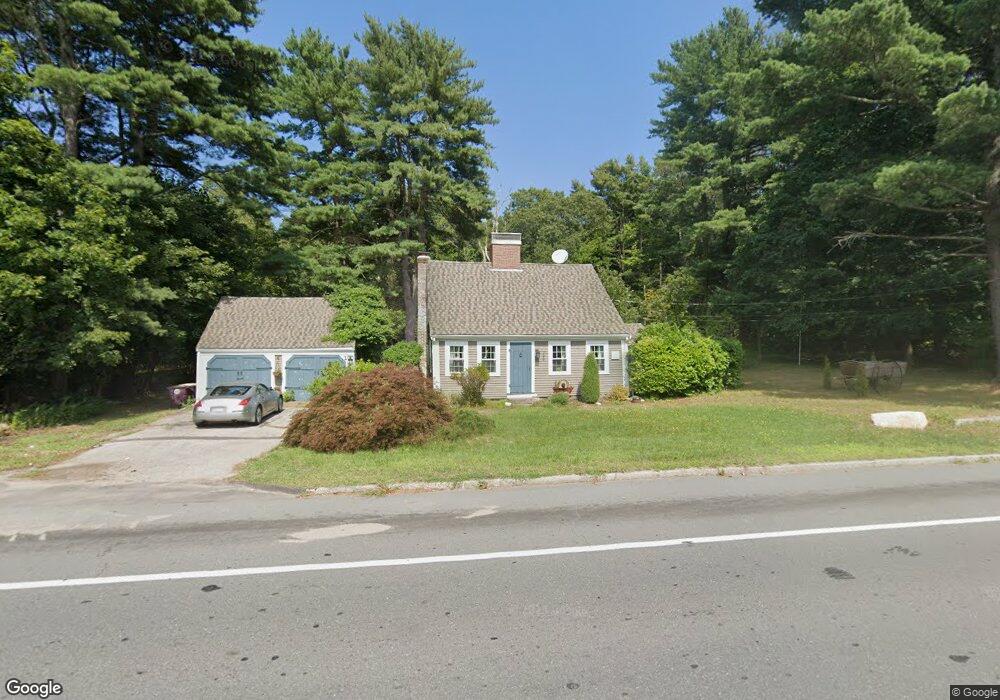
100 Anne St South Weymouth, MA 02190
South Weymouth NeighborhoodEstimated Value: $602,579 - $795,000
4
Beds
2
Baths
1,610
Sq Ft
$431/Sq Ft
Est. Value
About This Home
This home is located at 100 Anne St, South Weymouth, MA 02190 and is currently estimated at $694,395, approximately $431 per square foot. 100 Anne St is a home located in Norfolk County with nearby schools including Thomas W. Hamilton Primary School, Abigail Adams Middle School, and Weymouth Middle School Chapman.
Ownership History
Date
Name
Owned For
Owner Type
Purchase Details
Closed on
Aug 14, 1997
Sold by
Dorothy R Murray T
Bought by
Caldwell Herbert L and Caldwell Lynn E
Current Estimated Value
Home Financials for this Owner
Home Financials are based on the most recent Mortgage that was taken out on this home.
Original Mortgage
$143,550
Interest Rate
7.56%
Mortgage Type
Purchase Money Mortgage
Create a Home Valuation Report for This Property
The Home Valuation Report is an in-depth analysis detailing your home's value as well as a comparison with similar homes in the area
Home Values in the Area
Average Home Value in this Area
Purchase History
| Date | Buyer | Sale Price | Title Company |
|---|---|---|---|
| Caldwell Herbert L | $159,500 | -- |
Source: Public Records
Mortgage History
| Date | Status | Borrower | Loan Amount |
|---|---|---|---|
| Open | Caldwell Herbert L | $162,750 | |
| Closed | Caldwell Herbert L | $143,550 |
Source: Public Records
Tax History Compared to Growth
Tax History
| Year | Tax Paid | Tax Assessment Tax Assessment Total Assessment is a certain percentage of the fair market value that is determined by local assessors to be the total taxable value of land and additions on the property. | Land | Improvement |
|---|---|---|---|---|
| 2025 | $4,606 | $456,000 | $196,200 | $259,800 |
| 2024 | $4,517 | $439,800 | $186,900 | $252,900 |
| 2023 | $4,613 | $441,400 | $173,000 | $268,400 |
| 2022 | $4,507 | $393,300 | $160,200 | $233,100 |
| 2021 | $4,278 | $364,400 | $160,200 | $204,200 |
| 2020 | $4,105 | $344,400 | $160,200 | $184,200 |
| 2019 | $3,989 | $329,100 | $154,100 | $175,000 |
| 2018 | $3,945 | $315,600 | $146,700 | $168,900 |
| 2017 | $3,894 | $304,000 | $139,800 | $164,200 |
| 2016 | $3,776 | $295,000 | $134,400 | $160,600 |
| 2015 | $3,496 | $271,000 | $121,100 | $149,900 |
| 2014 | $3,482 | $261,800 | $125,100 | $136,700 |
Source: Public Records
Map
Nearby Homes
- 8 Kingswood Dr Unit D5
- 14 Jamieson St
- 221 Chestnut St
- 56 Ekstrom Cir
- 840 Hancock St
- 44 Old Forge Rd
- 278 Sycamore St
- 74 Checkerberry Rd
- 57 Sheri Ln
- 451 Lincoln St
- 23 Loganberry Dr
- 45-R Ernest St
- 27 Arnold St
- 71 Stevens Dr
- 169 Pond St
- 6 Robert Post Rd
- 16 Loud Rd
- 19 Bradford St
- 32 Warren St
- 10 Mccue Cir
- 841 Randolph St
- 832 Randolph St
- 812 Randolph St
- 802 Randolph St
- 773 Randolph St
- 1020 Hancock St
- 765 Randolph St
- 761 Randolph St
- 751 Randolph St
- 764 Randolph St
- 1007 Hancock St
- 996 Hancock St
- 996 Hancock St Unit 2
- 32 Thicket St
- 738 Old Randolph St Unit 1
- 738 Old Randolph St
- 758 Randolph St
- 741 Randolph St
- 741 Randolph St Unit 2
- 741 Randolph St Unit 1